 See it in 3D
Facts
- What it is
- Mountain
- Height above sea level
- 2,409 m (7,904 ft)
- Range
- Adamello
- Country
- Italy
- Coordinates
- 45.962°N 10.389°E
- Source
- Wikidata, CC0
Peaks near Monte Ferone
- Carè Alto3,465 m · 23 km awayOn the map
- Mount Adamello3,539 m · 23 km awayOn the map
- Pizzo Coca3,052 m · 32 km awayOn the map
- Presanella3,556 m · 36 km awayOn the map
- Cima Tosa3,136 m · 43 km awayOn the map
- Torre di Brenta3,014 m · 45 km awayOn the map
- Cima Brenta3,151 m · 46 km awayOn the map
- Grostè2,784 m · 48 km awayOn the map
- Croz dell'Altissimo2,282 m · 48 km awayOn the map
- Piz Sena3,075 m · 49 km awayOn the map
Highest in the Adamello
- Mount Adamello3,539 mOn the map
- Carè Alto3,465 mOn the map
- Corno Bianco3,427 mOn the map
- Monte Fumo3,418 mOn the map
- Corno di Cavento3,402 mOn the map
- Lobbia alta3,196 mOn the map
- Cima Plem3,179 mOn the map
- Monte Re di Castello2,889 mOn the map
- Monte Ferone2,409 mOn the map
Highest mountains in Italy
- Mont Blanc4,806 mOn the map
- Lyskamm4,532 mOn the map
- Matterhorn4,478 mOn the map
- Pointe Walker4,208 mOn the map
- Grandes Jorasses4,208 mOn the map
- Dent d'Hérens4,173 mOn the map
- Breithorn4,160 mOn the map
- Monte Ferone2,409 mOn the map
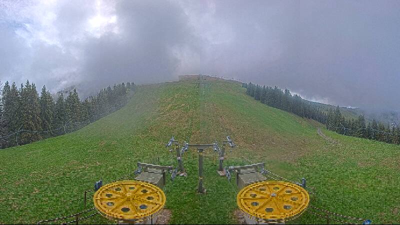
Webcams near Monte Ferone




History around Monte Ferone
Towns near Monte Ferone
- San Sebastiano36 km away
- Riva del Garda36 km away
- Lumezzane36 km away
- Sondrio46 km away
- Brescia49 km away
- Rovereto51 km away