 See it in 3D
Facts
- What it is
- Mountain
- Height above sea level
- 1,950 m (6,398 ft)
- Range
- Brescia and Garda Prealps
- Country
- Italy
- Coordinates
- 45.806°N 10.627°E
- Source
- Wikidata, CC0
Peaks near Monte Tombea
- Monte Caplone1,976 m · 1.2 km awayOn the map
- Monte Tremalzo1,975 m · 6.9 km awayOn the map
- Monte Pizzocolo1,581 m · 15 km awayOn the map
- Monte Cadria2,254 m · 16 km awayOn the map
- Cima Valdritta2,218 m · 19 km awayOn the map
- Monte Altissimo di Nago2,078 m · 20 km awayOn the map
- Cornone di Blumone2,843 m · 20 km awayOn the map
- Monte Re di Castello2,889 m · 26 km awayOn the map
- Monte Tredenus2,805 m · 27 km awayOn the map
- Monte Stivo2,059 m · 29 km awayOn the map
Highest in the Brescia and Garda Prealps
- Monte Colombine2,215 mOn the map
- Monte Tombea1,950 mOn the map
Highest mountains in Italy
- Mont Blanc4,806 mOn the map
- Lyskamm4,532 mOn the map
- Matterhorn4,478 mOn the map
- Pointe Walker4,208 mOn the map
- Grandes Jorasses4,208 mOn the map
- Dent d'Hérens4,173 mOn the map
- Breithorn4,160 mOn the map
- Monte Tombea1,950 mOn the map
Webcams near Monte Tombea

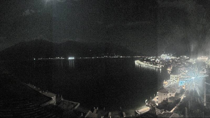
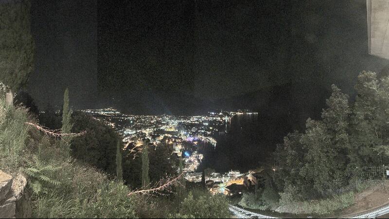

History around Monte Tombea
Towns near Monte Tombea
- Riva del Garda19 km away
- Lumezzane33 km away
- Rovereto33 km away
- San Sebastiano33 km away
- Desenzano del Garda38 km away
- Bussolengo41 km away