Mountains in Norway
See it in 3DMørkdalstuva
345 m1,132 ft
Mountain · Norway
Mørkdalstua is the tallest mountain on the island of Hitra which is located in Hitra Municipality, Trøndelag county, Norway.
From Wikipedia, CC BY-SA · Read the article
Facts
- What it is
- Mountain
- Height above sea level
- 345 m (1,132 ft)
- Prominence
- 345 m (1,132 ft)
- Isolation
- 15 km to higher ground
- Country
- Norway
- Coordinates
- 63.494°N 8.514°E
- Source
- Wikidata, CC0
Mørkdalstua
Mountain in Trøndelag, Norway
Mørkdalstua is the tallest mountain on the island of Hitra which is located in Hitra Municipality, Trøndelag county, Norway. The 345-metre (1,132 ft) tall mountain lies on the western side of the island, about 8 kilometres (5.0 mi) northeast of the village of Forsnes and 7.5 kilometres (4.7 mi) southeast of the village of Kvenvær.
From Wikipedia, CC BY-SA · Read the article
Peaks near Mørkdalstuva
- Besselvassheia76 m · 27 km awayOn the map
- Bremnestua74 m · 29 km awayOn the map
- Ruten1,040 m · 48 km awayOn the map
- Kvernberget205 m · 55 km awayOn the map
- EldsfjelletMountain · 14 km awayOn the map
- BjørnskardliknubbenHill · 15 km awayOn the map
- Hjertåsen63 m · 20 km awayOn the map
- StorvardenHill · 29 km awayOn the map
- Haggelbjøra143 m · 31 km awayOn the map
- ÅkervikaHill · 33 km awayOn the map
Highest mountains in Norway
- Galdhøpiggen2,469 mOn the map
- Glittertind2,464 mOn the map
- Store Skagastølstind2,406 mOn the map
- Surtningssue2,368 mOn the map
- Store Memurutinden2,365 mOn the map
- Store Hellstugutinden2,346 mOn the map
- Store Knutsholstinden2,339 mOn the map
- Tjørnholstind2,323 mOn the map
- Bukkehøe2,314 mOn the map
- Dovrefjell2,286 mOn the map
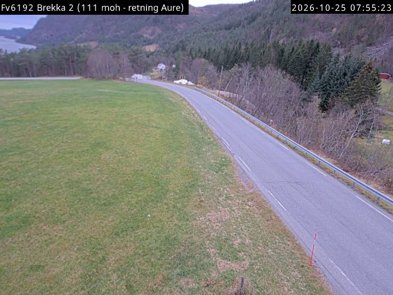
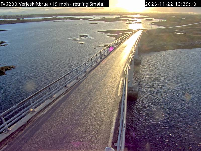
Webcams near Mørkdalstuva
Towns near Mørkdalstuva
- Kristiansund58 km away