Mount Ashland
7,533 ft2,296 m
Mountain · Siskiyou Mountains · United States
Mount Ashland is the highest peak in the Siskiyou Mountains of southern Oregon. It was named for the city of Ashland, located 8.6 miles (14 km) north of the mountain. The Siskiyou Mountains are a subrange of the Klamath Mountains in northwestern California and southwestern Oregon.
From Wikipedia, CC BY-SA · Read the article
The highest point of Siskiyou Mountains
 See it in 3D
Facts
- What it is
- Mountain
- Height above sea level
- 7,533 ft (2,296 m)
- Prominence
- 3,132 ft (955 m)
- Range
- Siskiyou Mountains
- Country
- United States
- Highest point of
- Siskiyou Mountains
- Coordinates
- 42.081°N 122.717°W
- Source
- Wikidata, CC0
Mount Ashland
Mountain in Oregon, U.S.
Mount Ashland is the highest peak in the Siskiyou Mountains of southern Oregon. It was named for the city of Ashland, located 8.6 miles (14 km) north of the mountain. The Siskiyou Mountains are a subrange of the Klamath Mountains in northwestern California and southwestern Oregon. The mountain is part of the Rogue River–Siskiyou National Forest, which encompasses most of the Siskiyou Mountains.
From Wikipedia, CC BY-SA · Read the article
Peaks near Mount Ashland
- Pilot Rock5,910 ft · 14 km awayOn the map
- Grizzly Peak5,922 ft · 23 km awayOn the map
- Roxy Ann Peak3,576 ft · 31 km awayOn the map
- Negro Ben Mountain4,398 ft · 34 km awayOn the map
- Kangaroo Mountain6,697 ft · 44 km awayOn the map
- Mount McLoughlin9,495 ft · 52 km awayOn the map
- Aspen Butte8,215 ft · 58 km awayOn the map
- Wagner ButteMountain · 6.3 km awayOn the map
- Ropers BunionMountain · 11 km awayOn the map
- Songer ButteMountain · 12 km awayOn the map
Highest in the Siskiyou Mountains
- Mount Ashland7,533 ftOn the map
- Preston Peak7,313 ftOn the map
- Bear Mountain6,415 ftOn the map
- Peak Eight5,188 ftOn the map
Highest mountains in United States
- Denali20,308 ftOn the map
- Mount Saint Elias18,009 ftOn the map
- Mount Foraker17,402 ftOn the map
- Mount Bona16,535 ftOn the map
- Mount Blackburn16,390 ftOn the map
- Mount Sanford16,237 ftOn the map
- Mount Vancouver15,787 ftOn the map
- Mount Churchill15,636 ftOn the map
- Mount Fairweather15,325 ftOn the map
- Mount Hubbard14,951 ftOn the map
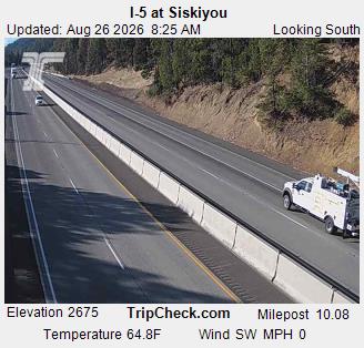
Webcams near Mount Ashland



Towns near Mount Ashland
- Ashland13 km away
- Talent19 km away
- Phoenix23 km away
- Medford30 km away
- Central Point37 km away
- Eagle Point44 km away