Mountains in United States
Mount Bailey
9,089 ft2,770 m
Mountain · Front Range · United States
At the summit · forecast for 2:00 PM
53 °FMostly clear · wind 8 mph from the SW
 See it in 3D

Weather at the summit of Mount Bailey, 9,089 ft
- 2:00 PM53 °FSW 8 mph–
- 5:00 PM49 °FSW 9 mph–
- 8:00 PM31 °FW 6 mph–
- 11:00 PM29 °FW 8 mph–
- 2:00 AM28 °FW 9 mph–
- 5:00 AM28 °FW 9 mph–
- 8:00 AM28 °FW 7 mph–
- 11:00 AM47 °FSW 7 mph–
| Day | Sky | High / low | Rain | Wind up to |
|---|---|---|---|---|
| Wed, Oct 28 | Mostly clear | 52 °F / 27 °F | – | 10 mph |
| Thu, Oct 29 | Cloudy | 53 °F / 27 °F | – | 8 mph |
| Fri, Oct 30 | Mostly clear | 54 °F / 28 °F | 0 in | 7 mph |
| Sat, Oct 31 | Clear | 51 °F / 28 °F | 0.02 in | 6 mph |
| Sun, Nov 1 | Cloudy | 45 °F / 28 °F | 0.06 in | 7 mph |
| Mon, Nov 2 | Cloudy | 36 °F / 28 °F | 0.51 in | 6 mph |
| Tue, Nov 3 | Cloudy | 34 °F / 23 °F | 0.1 in | 6 mph |
Forecast by MET Norway (CC BY 4.0), updated 11:17 AM MDT. Times are local.
Facts
- What it is
- Mountain
- Height above sea level
- 9,089 ft (2,770 m)
- Prominence
- 549 ft (167 m)
- Range
- Front Range
- Country
- United States
- Coordinates
- 39.415°N 105.460°W
- Source
- Wikidata, CC0
Peaks near Mount Bailey
- Shawnee Peak11,932 ft · 12 km awayOn the map
- Buffalo Peak11,594 ft · 17 km awayOn the map
- Green Mountain10,427 ft · 18 km awayOn the map
- Bison Peak12,432 ft · 20 km awayOn the map
- Berrian Mountain9,151 ft · 21 km awayOn the map
- McCurdy Mountain12,172 ft · 22 km awayOn the map
- Arrowhead Mountain11,218 ft · 23 km awayOn the map
- Long Scraggy Peak8,796 ft · 23 km awayOn the map
- Mount Blue Sky14,265 ft · 25 km awayOn the map
- Mount Bierstadt14,062 ft · 26 km awayOn the map
Highest in the Front Range
- Grays Peak14,272 ftOn the map
- Mount Blue Sky14,265 ftOn the map
- Longs Peak14,255 ftOn the map
- Pikes Peak14,114 ftOn the map
- Mount Bierstadt14,062 ftOn the map
- Mount Silverheels13,829 ftOn the map
- Bard Peak13,647 ftOn the map
- North Arapaho Peak13,508 ftOn the map
- Mount Bailey9,089 ftOn the map
Highest mountains in United States
- Denali20,308 ftOn the map
- Mount Saint Elias18,009 ftOn the map
- Mount Foraker17,402 ftOn the map
- Mount Bona16,535 ftOn the map
- Mount Blackburn16,390 ftOn the map
- Mount Sanford16,237 ftOn the map
- Mount Vancouver15,787 ftOn the map
- Mount Churchill15,636 ftOn the map
- Mount Fairweather15,325 ftOn the map
- Mount Hubbard14,951 ftOn the map
Webcams near Mount Bailey
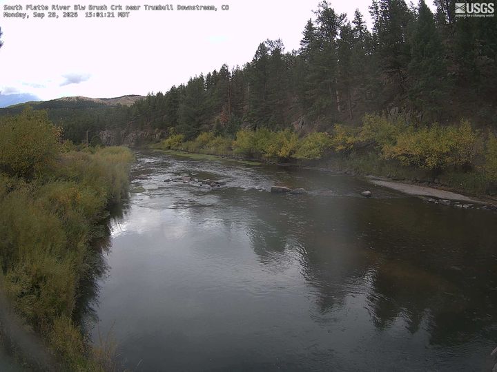 South Platte River Blw Brush Crk near Trumbull Downstream27 km from the summit
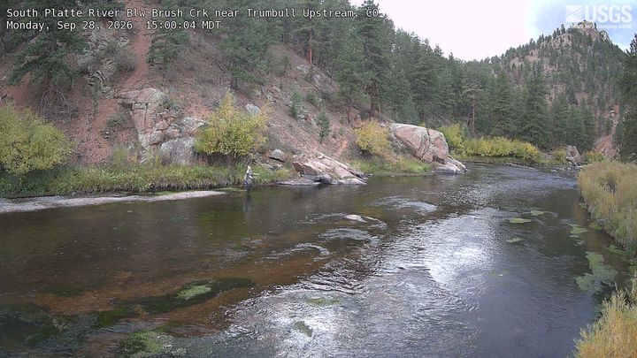 South Platte River Blw Brush Crk near Trumbull Upstream27 km from the summit
 CO 74 MP 005.35 WB at Stagecoach Blvd in Evergreen28 km from the summit
 CO 74 MP 004.00 EB : 0.3 miles S of S Bergen Pkwy in Evergreen30 km from the summit
History around Mount Bailey
Towns near Mount Bailey
- Morrison33 km away
- Ken Caryl35 km away
- Dakota Ridge35 km away
- Idaho Springs37 km away
- Columbine39 km away
- Georgetown39 km away