Facts
- What it is
- Mountain
- Height above sea level
- 1,907 m (6,257 ft)
- Prominence
- 137 m (449 ft)
- Range
- Skagit Range
- Country
- Canada
- Coordinates
- 49.264°N 121.560°W
- Source
- Wikidata, CC0
Peaks near Mount Barr
- Foley Peak2,293 m · 12 km awayOn the map
- Welch Peak2,431 m · 12 km awayOn the map
- Cheam Peak2,104 m · 12 km awayOn the map
- Lady Peak2,178 m · 12 km awayOn the map
- Hope Mountain1,844 m · 14 km awayOn the map
- Slesse Mountain2,439 m · 27 km awayOn the map
- Silvertip Mountain2,596 m · 27 km awayOn the map
- Harrison Hill622 m · 29 km awayOn the map
- Canadian Border Peak2,291 m · 30 km awayOn the map
- American Border Peak7,998 ft · 31 km awayOn the map
Highest in the Skagit Range
- Mount Baker10,781 ftOn the map
- Mount Shuksan9,127 ftOn the map
- Mount Spickard8,980 ftOn the map
- Mount Redoubt8,969 ftOn the map
- Slesse Mountain2,439 mOn the map
- Mount Barr1,907 mOn the map
- Hope Mountain1,844 mOn the map
- Sumas Mountain3,428 ftOn the map
Highest mountains in Canada
- Mount Logan5,959 mOn the map
- Mount Saint Elias18,009 ftOn the map
- Mount Lucania5,240 mOn the map
- King Peak5,173 mOn the map
- Mount Steele5,073 mOn the map
- Mount Wood4,850 mOn the map
- Mount Vancouver15,787 ftOn the map
- Mount Slaggard4,742 mOn the map
- Mount Macaulay4,700 mOn the map
- Mount Fairweather15,325 ftOn the map
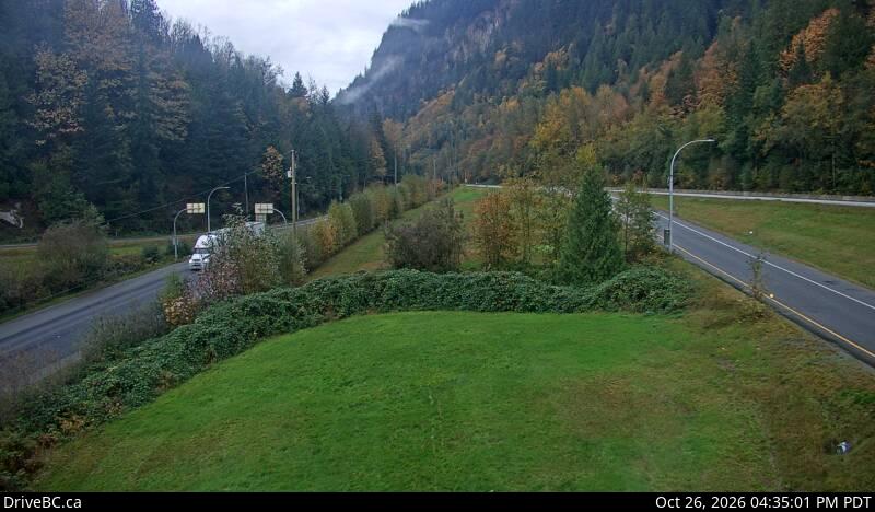
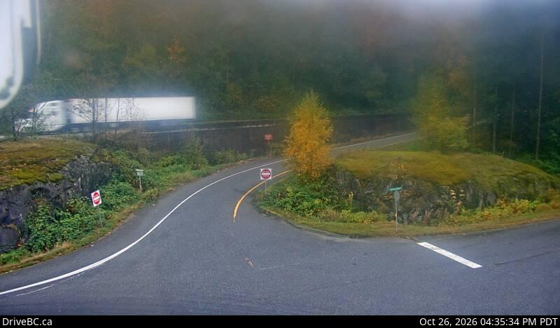
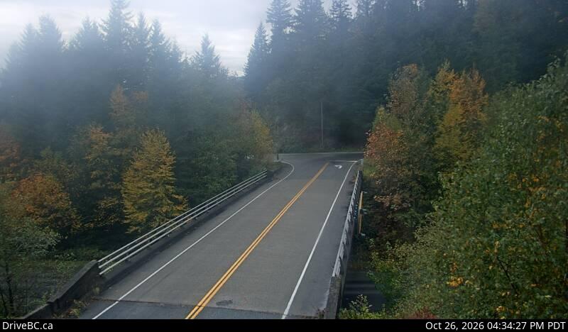
Webcams near Mount Barr
Towns near Mount Barr
- Chilliwack30 km away
- Abbotsford55 km away
- Mission56 km away
- Lynden74 km away
- Maple Ridge76 km away