Mountains in Australia
Mount Blaxland, New South Wales
Hill · Australia
Mount Blaxland, actually a hill, is located about 15 kilometres south of Lithgow, in New South Wales, Australia. It was the furthest point reached by Blaxland, Lawson, and Wentworth on their historic 1813 crossing of the Blue Mountains.
From Wikipedia, CC BY-SA · Read the article
At the summit · forecast for 2:00 AM
11 °CCloudy · wind 6 km/h from the N
 See it in 3D
Mount Blaxland, New South Wales weather forecast
- 2:00 AM11 °CN 6 km/h–
- 5:00 AM9 °CNW 6 km/h–
- 8:00 AM12 °CNW 5 km/h–
- 11:00 AM21 °CNW 11 km/h–
- 2:00 PM23 °CNW 11 km/h–
- 5:00 PM22 °CNW 12 km/h–
- 8:00 PM16 °CE 10 km/h–
- 11:00 PM12 °CN 12 km/h–
| Day | Sky | High / low | Rain | Wind up to |
|---|---|---|---|---|
| Today | Partly cloudy | 23 °C / 9 °C | – | 16 km/h |
| Sat, Oct 31 | Rain | 22 °C / 11 °C | 10 mm | 27 km/h |
| Sun, Nov 1 | Mostly clear | 20 °C / 11 °C | – | 19 km/h |
| Mon, Nov 2 | Cloudy | 21 °C / 9 °C | 2.5 mm | 13 km/h |
| Tue, Nov 3 | Rain | 20 °C / 12 °C | 2.2 mm | 23 km/h |
| Wed, Nov 4 | Mostly clear | 19 °C / 12 °C | – | 26 km/h |
| Thu, Nov 5 | Mostly clear | 18 °C / 8 °C | – | 14 km/h |
Forecast by MET Norway (CC BY 4.0), updated 10:23 PM GMT+11. Times are local.
Facts
- What it is
- Hill
- Country
- Australia
- Coordinates
- 33.548°S 150.118°E
- Source
- Wikidata, CC0
Peaks near Mount Blaxland, New South Wales
- Mount York1,061 m · 9.5 km awayOn the map
- Mount Piddington1,094 m · 14 km awayOn the map
- One Tree Hill1,112 m · 14 km awayOn the map
- Mount Bindo1,359 m · 16 km awayOn the map
- Mount Boyce1,093 m · 17 km awayOn the map
- Mount Banks1,049 m · 24 km awayOn the map
- Mount Hay944 m · 28 km awayOn the map
- Mount Solitary950 m · 32 km awayOn the map
- Mount Trickett1,362 m · 36 km awayOn the map
- Mount Airey915 m · 37 km awayOn the map
Highest mountains in Australia
- Mawson Peak2,745 mOn the map
- Mount Kosciuszko2,228 mOn the map
- Rams Head2,190 mOn the map
- Mount Bogong1,986 mOn the map
- Mount Feathertop1,922 mOn the map
- Bimberi Peak1,912 mOn the map
- Mount Loch1,865 mOn the map
- Mount Hotham1,861 mOn the map
- Mount Gingera1,857 mOn the map
- Mount Kelly1,829 mOn the map
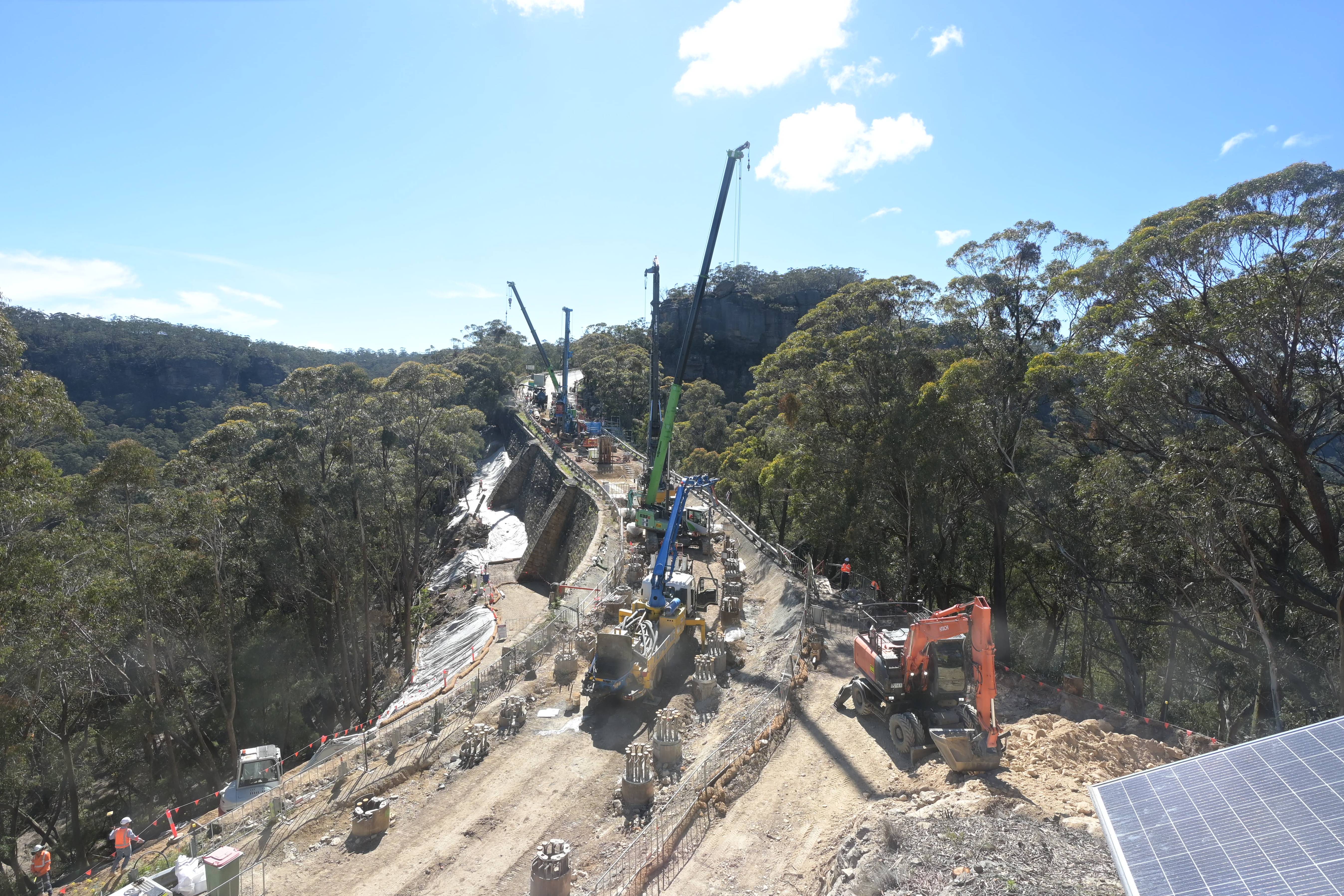
Webcams near Mount Blaxland, New South Wales



Towns near Mount Blaxland, New South Wales
- Bathurst52 km away