Mountains in United States
Mount Carl Heller
13,225 ft4,031 m
Mountain · United States
Mount Carl Heller is a 13,211-foot-elevation (4,027-meter) mountain summit located on the crest of the Sierra Nevada mountain range in California. It is situated on the common border shared by Tulare County with Inyo County, as well as the shared boundary of Sequoia National Park and John Muir Wilderness.
From Wikipedia, CC BY-SA · Read the article
At the summit · forecast for 3:00 AM
24 °FClear · wind 2 mph from the W
 See it in 3D
Weather at the summit of Mount Carl Heller, 13,225 ft
- 3:00 AM24 °FW 2 mph–
- 6:00 AM22 °FW 2 mph–
- 9:00 AM30 °FW 4 mph–
- 12:00 PM37 °FW 7 mph–
- 3:00 PM35 °FW 7 mph–
- 6:00 PM24 °FW 2 mph–
- 9:00 PM21 °FW 3 mph–
- 12:00 AM23 °FW 2 mph–
| Day | Sky | High / low | Rain | Wind up to |
|---|---|---|---|---|
| Today | Clear | 37 °F / 21 °F | – | 8 mph |
| Wed, Oct 28 | Mostly clear | 35 °F / 22 °F | – | 5 mph |
| Thu, Oct 29 | Partly cloudy | 31 °F / 20 °F | 0.02 in | 8 mph |
| Fri, Oct 30 | Partly cloudy | 26 °F / 14 °F | 0.02 in | 1 mph |
| Sat, Oct 31 | Mostly clear | 23 °F / 13 °F | – | 2 mph |
| Sun, Nov 1 | Clear | 27 °F / 17 °F | – | 3 mph |
| Mon, Nov 2 | Clear | 35 °F / 21 °F | – | 2 mph |
Forecast by MET Norway (CC BY 4.0), updated 02:22 AM PDT. Times are local.
Facts
- What it is
- Mountain
- Height above sea level
- 13,225 ft (4,031 m)
- Country
- United States
- First ascent
- 1940
- Coordinates
- 36.612°N 118.299°W
- Source
- Wikidata, CC0
Peaks near Mount Carl Heller
- Tunnabora Peak13,566 ft · 1.6 km awayOn the map
- Mount Russell14,094 ft · 2.5 km awayOn the map
- Mount Barnard13,996 ft · 2.8 km awayOn the map
- Mount Carillon13,553 ft · 2.8 km awayOn the map
- Mount Whitney14,505 ft · 3.7 km awayOn the map
- Trojan Peak13,950 ft · 3.8 km awayOn the map
- Mount Young13,182 ft · 4.3 km awayOn the map
- Mount Williamson14,403 ft · 5.1 km awayOn the map
- Mount Muir14,016 ft · 5.3 km awayOn the map
- Mount Tyndall14,025 ft · 5.9 km awayOn the map
Highest mountains in United States
- Denali20,308 ftOn the map
- Mount Saint Elias18,009 ftOn the map
- Mount Foraker17,402 ftOn the map
- Mount Bona16,535 ftOn the map
- Mount Blackburn16,390 ftOn the map
- Mount Sanford16,237 ftOn the map
- Mount Vancouver15,787 ftOn the map
- Mount Churchill15,636 ftOn the map
- Mount Fairweather15,325 ftOn the map
- Mount Hubbard14,951 ftOn the map
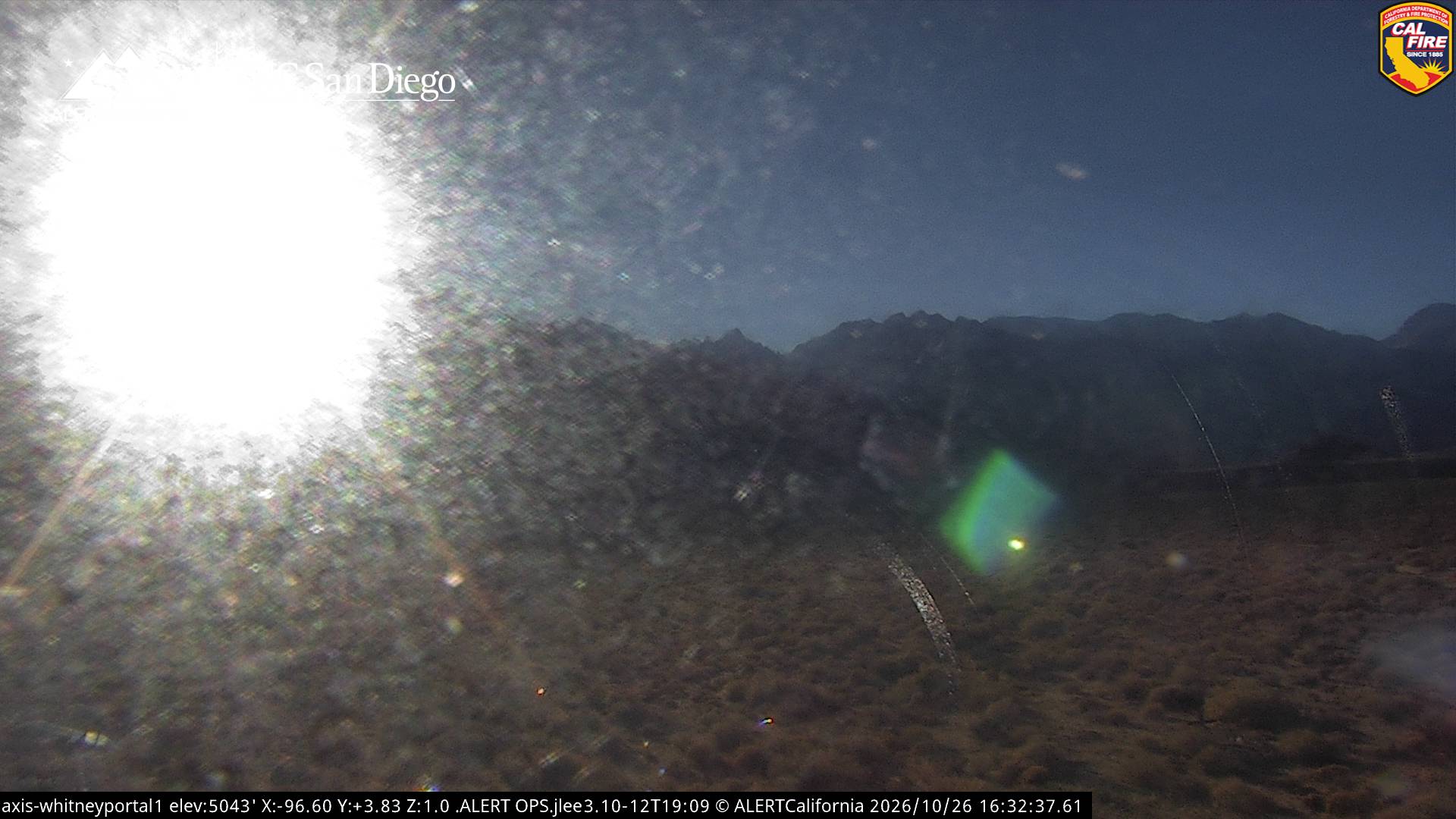
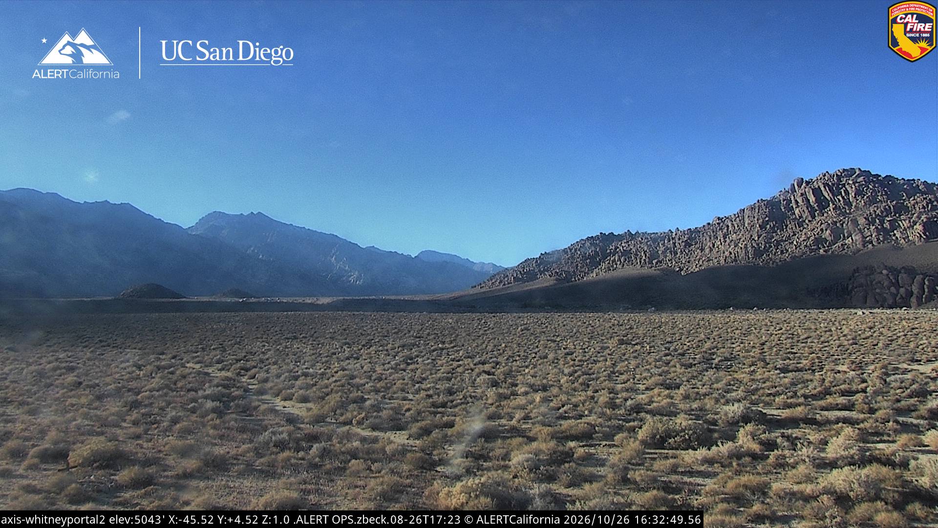
Webcams near Mount Carl Heller
History around Mount Carl Heller
Towns near Mount Carl Heller
- Woodlake75 km away