Mountains in Australia
Mount Coonowrin
377 m1,237 ft
Mountain · Glass House Mountains · Australia
Coonowrin is one of the Glass House Mountains, located in Queensland, Australia, located 19 km north of Caboolture or about one hour's drive north of Brisbane. It is easily distinguished because of its rocky formation at the top. It is also known by its unofficial name Crookneck.
From Wikipedia, CC BY-SA · Read the article
At the summit · forecast for 1:00 PM
24 °CRain · wind 12 km/h from the E
 See it in 3D
Weather at the summit of Mount Coonowrin, 377 m
- 1:00 PM24 °CE 12 km/h2.6 mm
- 4:00 PM22 °CSE 9 km/h1.1 mm
- 7:00 PM20 °CN 8 km/h–
- 10:00 PM19 °CW 4 km/h1.2 mm
- 1:00 AM18 °CNW 5 km/h–
- 4:00 AM17 °CNW 8 km/h–
- 7:00 AM19 °CW 10 km/h–
- 10:00 AM23 °CSW 10 km/h2.7 mm
| Day | Sky | High / low | Rain | Wind up to |
|---|---|---|---|---|
| Wed, Oct 28 | Rain | 23 °C / 16 °C | 3.4 mm | 14 km/h |
| Thu, Oct 29 | Cloudy | 24 °C / 13 °C | 0.3 mm | 15 km/h |
| Fri, Oct 30 | Rain | 22 °C / 15 °C | 1.4 mm | 13 km/h |
| Sat, Oct 31 | Light rain | 20 °C / 15 °C | 1.8 mm | 12 km/h |
| Sun, Nov 1 | Rain | 24 °C / 14 °C | 6.9 mm | 13 km/h |
| Mon, Nov 2 | Rain | 27 °C / 16 °C | 1.6 mm | 13 km/h |
| Tue, Nov 3 | Rain | 25 °C / 16 °C | 3.4 mm | 14 km/h |
Forecast by MET Norway (CC BY 4.0), updated 11:17 AM GMT+10. Times are local.
Facts
- What it is
- Mountain
- Height above sea level
- 377 m (1,237 ft)
- Range
- Glass House Mountains
- Country
- Australia
- Coordinates
- 26.900°S 152.917°E
- Source
- Wikidata, CC0
Peaks near Mount Coonowrin
- Mount Beerwah556 m · 3.3 km awayOn the map
- Mount Tibrogargan363 m · 5 km awayOn the map
- Mount Cooroora439 m · 59 km awayOn the map
- Mount NgungunMountain · 1.7 km awayOn the map
- Wild Horse MountainMountain · 8.8 km awayOn the map
- Mount MeeMountain · 25 km awayOn the map
- Kiels MountainMountain · 28 km awayOn the map
- Enoggera HillHill · 58 km awayOn the map
Highest in the Glass House Mountains
- Mount Beerwah556 mOn the map
- Mount Coonowrin377 mOn the map
- Mount Tibrogargan363 mOn the map
Highest mountains in Australia
- Mawson Peak2,745 mOn the map
- Mount Kosciuszko2,228 mOn the map
- Rams Head2,190 mOn the map
- Mount Bogong1,986 mOn the map
- Mount Feathertop1,922 mOn the map
- Bimberi Peak1,912 mOn the map
- Mount Loch1,865 mOn the map
- Mount Hotham1,861 mOn the map
- Mount Gingera1,857 mOn the map
- Mount Kelly1,829 mOn the map
Webcams near Mount Coonowrin
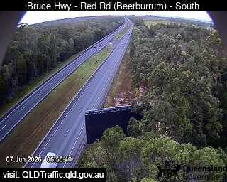 Beerburrum - Bruce Highway & Red Road - South9.5 km from the summit
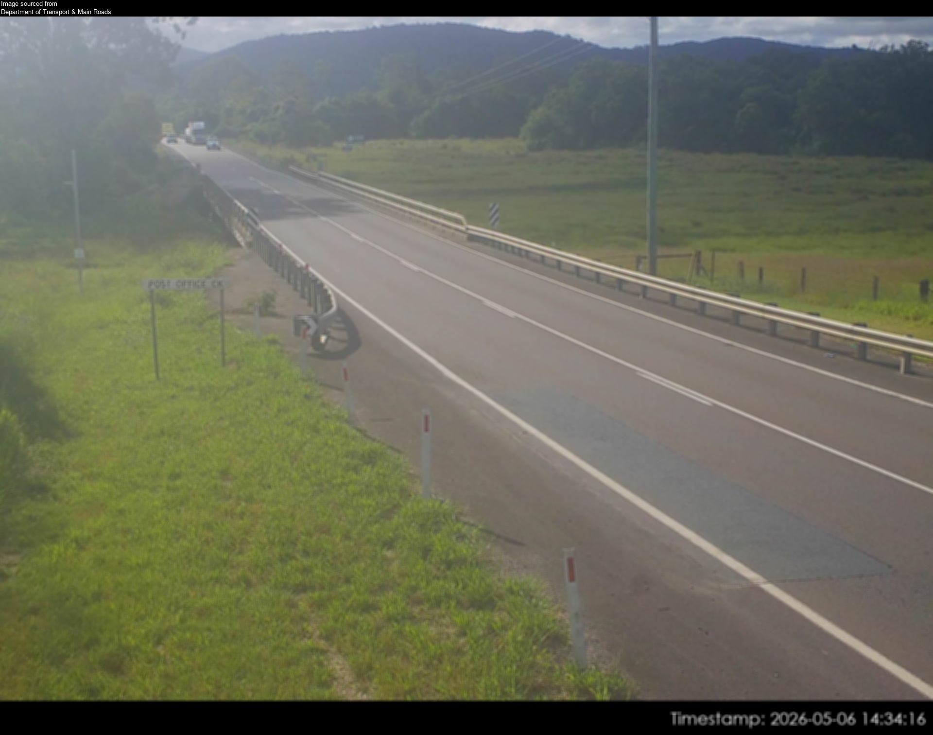 Woodford - D'Aguilar Highway at Stanley River16 km from the summit
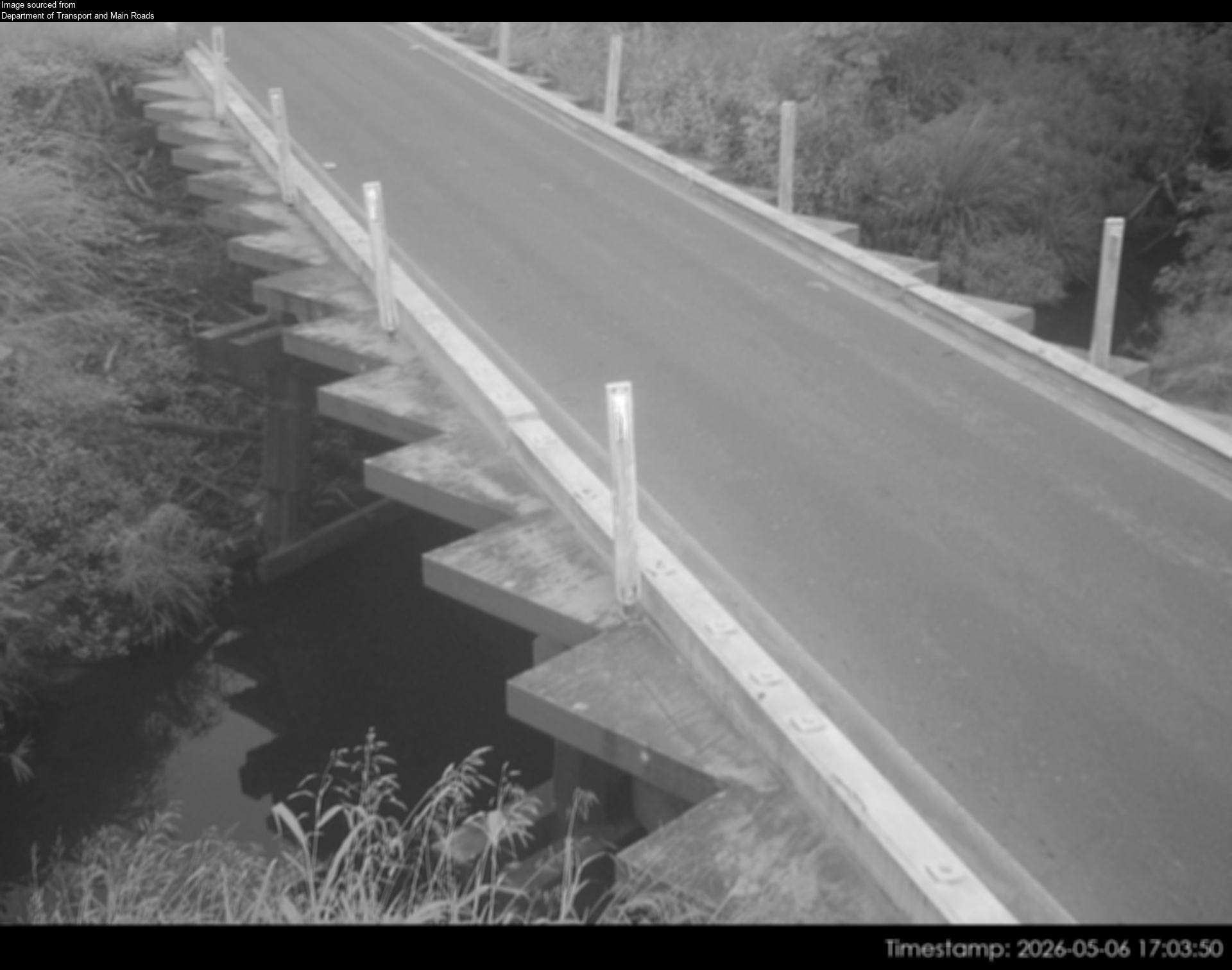 Mooloolah - Palmwoods-Mooloolah Road (Neill Road) at Mooloolah River - North16 km from the summit
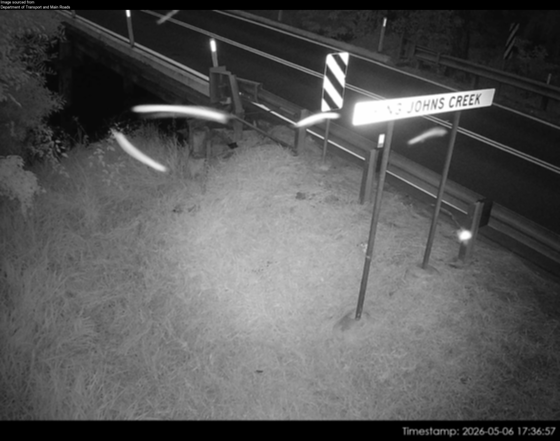 Caboolture - Beerburrum Rd at King John Creek - South - 451017 km from the summit
Towns near Mount Coonowrin
- Caloundra23 km away
- Sunshine Coast32 km away
- Narangba34 km away
- Brisbane64 km away
- Capalaba77 km away