Mountains in Canada
See it in 3DMount Donner
1,802 m5,912 ft
Mountain · Vancouver Island Ranges · Canada
At the summit · forecast for 5:00 PM
-1 °CCloudy · wind 3 km/h from the S
Weather at the summit of Mount Donner, 1,802 m
- 5:00 PM-1 °CS 3 km/h–
- 8:00 PM-3 °CE 3 km/h–
- 11:00 PM-4 °CE 4 km/h–
- 2:00 AM-6 °CE 4 km/h–
- 5:00 AM-7 °CE 4 km/h–
- 8:00 AM-6 °CSE 4 km/h–
- 11:00 AM-2 °CW 4 km/h–
- 2:00 PM-2 °CW 10 km/h0.3 mm
| Day | Sky | High / low | Rain | Wind up to |
|---|---|---|---|---|
| Tue, Oct 27 | Cloudy | -2 °C / -7 °C | 0.7 mm | 10 km/h |
| Wed, Oct 28 | Light snow | -2 °C / -7 °C | 1.2 mm | 7 km/h |
| Thu, Oct 29 | Partly cloudy | -4 °C / -10 °C | 2.6 mm | 9 km/h |
| Fri, Oct 30 | Light snow | -3 °C / -10 °C | 1 mm | 3 km/h |
| Sat, Oct 31 | Mostly clear | -3 °C / -11 °C | 0.2 mm | 3 km/h |
| Sun, Nov 1 | Heavy snow | -3 °C / -10 °C | 10 mm | 6 km/h |
| Mon, Nov 2 | Cloudy | 0 °C / -5 °C | – | 6 km/h |
Forecast by MET Norway (CC BY 4.0), updated 04:20 PM PDT. Times are local.
Facts
- What it is
- Mountain
- Height above sea level
- 1,802 m (5,912 ft)
- Prominence
- 277 m (909 ft)
- Range
- Vancouver Island Ranges
- Country
- Canada
- Coordinates
- 49.690°N 125.892°W
- Source
- Wikidata, CC0
Peaks near Mount Donner
- Mount Kent-Urquhart1,802 m · 1.6 km awayOn the map
- Mount DeVoe1,737 m · 6.1 km awayOn the map
- Mount Colonel Foster2,135 m · 6.9 km awayOn the map
- Popsicle Peak1,673 m · 7.5 km awayOn the map
- El Piveto Mountain1,969 m · 8.3 km awayOn the map
- Matchlee Mountain1,822 m · 8.4 km awayOn the map
- The Behinde2,018 m · 9.2 km awayOn the map
- Golden Hinde2,195 m · 11 km awayOn the map
- Puzzle Mountain1,825 m · 11 km awayOn the map
- Rambler Peak2,092 m · 11 km awayOn the map
Highest in the Vancouver Island Ranges
- Golden Hinde2,195 mOn the map
- Mount Albert Edward2,093 mOn the map
- Mount McBride2,083 mOn the map
- Mount Filberg2,035 mOn the map
- The Red Pillar2,034 mOn the map
- Mount Cobb2,030 mOn the map
- Mount Harmston2,009 mOn the map
- Alexandra Peak1,983 mOn the map
- Mount Donner1,802 mOn the map
Highest mountains in Canada
- Mount Logan5,959 mOn the map
- Mount Saint Elias18,009 ftOn the map
- Mount Lucania5,240 mOn the map
- King Peak5,173 mOn the map
- Mount Steele5,073 mOn the map
- Mount Wood4,850 mOn the map
- Mount Vancouver15,787 ftOn the map
- Mount Slaggard4,742 mOn the map
- Mount Macaulay4,700 mOn the map
- Mount Fairweather15,325 ftOn the map
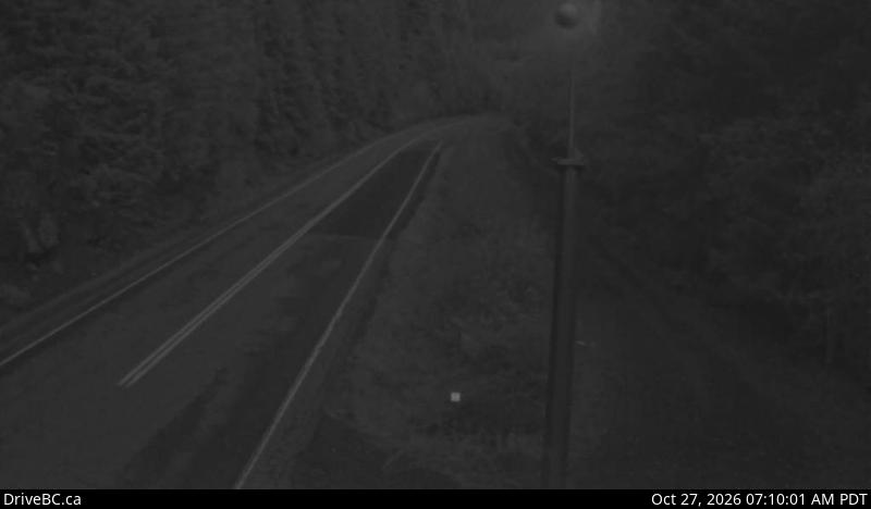
Webcams near Mount Donner
History around Mount Donner
Towns near Mount Donner
- Campbell River59 km away
- Courtenay65 km away