Mountains in United States
See it in 3DMount Eisen
12,185 ft3,714 m
Mountain · Great Western Divide · United States
At the summit · forecast for 4:00 PM
34 °FClear · wind 6 mph from the W
Weather at the summit of Mount Eisen, 12,185 ft
- 4:00 PM34 °FW 6 mph–
- 7:00 PM24 °FNE 3 mph–
- 10:00 PM23 °FE 3 mph–
- 1:00 AM24 °FNE 3 mph–
- 4:00 AM23 °FNE 2 mph–
- 7:00 AM23 °FE 2 mph–
- 10:00 AM37 °FW 4 mph–
- 1:00 PM40 °FW 6 mph–
| Day | Sky | High / low | Rain | Wind up to |
|---|---|---|---|---|
| Tue, Oct 27 | Mostly clear | 40 °F / 23 °F | – | 7 mph |
| Wed, Oct 28 | Cloudy | 39 °F / 21 °F | – | 6 mph |
| Thu, Oct 29 | Cloudy | 34 °F / 20 °F | 0.04 in | 3 mph |
| Fri, Oct 30 | Light snow | 29 °F / 17 °F | 0.03 in | 4 mph |
| Sat, Oct 31 | Light snow | 26 °F / 12 °F | 0.03 in | 6 mph |
| Sun, Nov 1 | Partly cloudy | 22 °F / 13 °F | 0 in | 4 mph |
| Mon, Nov 2 | Clear | 44 °F / 19 °F | – | 3 mph |
Forecast by MET Norway (CC BY 4.0), updated 12:17 PM PDT. Times are local.
Facts
- What it is
- Mountain
- Height above sea level
- 12,185 ft (3,714 m)
- Range
- Great Western Divide
- Parent peak
- Lippincott Mountain
- Country
- United States
- Coordinates
- 36.498°N 118.569°W
- Source
- Wikidata, CC0
Peaks near Mount Eisen
- Lippincott Mountain12,241 ft · 2.6 km awayOn the map
- Eagle Scout Peak12,001 ft · 5.3 km awayOn the map
- Needham Mountain12,536 ft · 5.6 km awayOn the map
- Black Kaweah13,619 ft · 7 km awayOn the map
- Mount Stewart12,165 ft · 8 km awayOn the map
- Kaweah Queen13,388 ft · 8.3 km awayOn the map
- Mount Kaweah13,807 ft · 8.7 km awayOn the map
- Florence Peak12,437 ft · 10 km awayOn the map
- Vandever Mountain11,929 ft · 11 km awayOn the map
- Alta Peak11,208 ft · 13 km awayOn the map
Parent peak
The nearest higher peak its prominence is measured to.
- Lippincott Mountain12,241 ftOn the map
Highest in the Great Western Divide
- Midway Mountain13,665 ftOn the map
- Lippincott Mountain12,241 ftOn the map
- Mount Eisen12,185 ftOn the map
- Eagle Scout Peak12,001 ftOn the map
Highest mountains in United States
- Denali20,308 ftOn the map
- Mount Saint Elias18,009 ftOn the map
- Mount Foraker17,402 ftOn the map
- Mount Bona16,535 ftOn the map
- Mount Blackburn16,390 ftOn the map
- Mount Sanford16,237 ftOn the map
- Mount Vancouver15,787 ftOn the map
- Mount Churchill15,636 ftOn the map
- Mount Fairweather15,325 ftOn the map
- Mount Hubbard14,951 ftOn the map
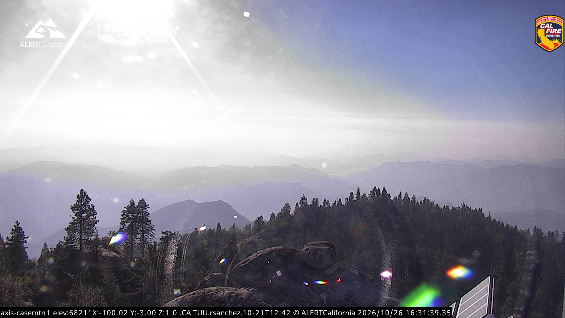
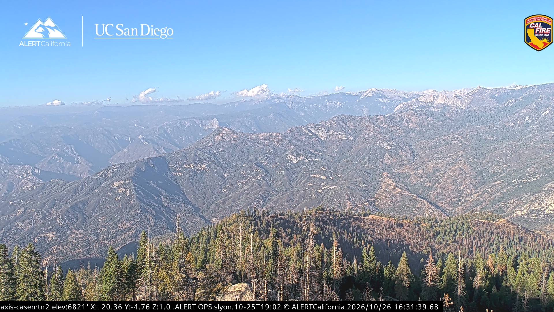
Webcams near Mount Eisen
Towns near Mount Eisen
- Woodlake49 km away
- Lindsay57 km away
- Farmersville61 km away
- Porterville63 km away
- Visalia67 km away
- Orange Cove68 km away