 See it in 3D
Facts
- What it is
- Mountain
- Height above sea level
- 2,925 ft (892 m)
- Prominence
- 1,285 ft (392 m)
- Isolation
- 13 km to higher ground
- Range
- Klamath Mountains
- Parent peak
- Bosley Butte
- Country
- United States
- Coordinates
- 42.078°N 124.111°W
- Source
- Wikidata, CC0
Peaks near Mount Emily
- Chetco Peak4,671 ft · 15 km awayOn the map
- Bosley Butte3,423 ft · 17 km awayOn the map
- Pearsoll Peak5,098 ft · 33 km awayOn the map
- Bear Mountain6,415 ft · 48 km awayOn the map
- Preston Peak7,313 ft · 49 km awayOn the map
Parent peak
The nearest higher peak its prominence is measured to.
- Bosley Butte3,423 ftOn the map
Highest in the Klamath Mountains
- Thompson Peak9,001 ftOn the map
- Russian Peak8,199 ftOn the map
- Salmon Mountain6,962 ftOn the map
- Pearsoll Peak5,098 ftOn the map
- Chetco Peak4,671 ftOn the map
- Bosley Butte3,423 ftOn the map
- Mount Emily2,925 ftOn the map
- Humbug Mountain1,765 ftOn the map
Highest mountains in United States
- Denali20,308 ftOn the map
- Mount Saint Elias18,009 ftOn the map
- Mount Foraker17,402 ftOn the map
- Mount Bona16,535 ftOn the map
- Mount Blackburn16,390 ftOn the map
- Mount Sanford16,237 ftOn the map
- Mount Vancouver15,787 ftOn the map
- Mount Churchill15,636 ftOn the map
- Mount Fairweather15,325 ftOn the map
- Mount Hubbard14,951 ftOn the map
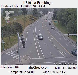
Webcams near Mount Emily
_pid4918.jpg)


History around Mount Emily
- Biscuit Fire2002
Towns near Mount Emily
- Brookings16 km away
- Crescent City36 km away
- Cave Junction39 km away
- Grants Pass76 km away