Mountains in Japan
Mount Fuppushi
1,103 m3,617 ft
Volcano · Japan
Mount Fuppushi is a dormant volcano located in Shikotsu-Toya National Park in Hokkaido, Japan. It sits adjacent to Mount Tarumae and opposite Mount Eniwa. Mount Fuppushi is on the south shore of Lake Shikotsu, the caldera lake that spawned the volcanoes.
From Wikipedia, CC BY-SA · Read the article
At the summit · forecast for 9:00 AM
-2 °CLight snow · wind 34 km/h from the NW
 See it in 3D
Weather at the summit of Mount Fuppushi, 1,103 m
- 9:00 AM-2 °CNW 34 km/h0.5 mm
- 12:00 PM-2 °CNW 33 km/h0.2 mm
- 3:00 PM-3 °CNW 26 km/h–
- 6:00 PM-4 °CNW 18 km/h–
- 9:00 PM-5 °CW 10 km/h–
- 12:00 AM-4 °CW 11 km/h–
- 3:00 AM-4 °CNW 14 km/h–
- 6:00 AM-4 °CW 8 km/h–
| Day | Sky | High / low | Rain | Wind up to |
|---|---|---|---|---|
| Today | Mostly clear | -2 °C / -5 °C | 0.7 mm | 34 km/h |
| Thu, Oct 29 | Cloudy | 3 °C / -4 °C | 6.2 mm | 30 km/h |
| Fri, Oct 30 | Rain | 8 °C / 2 °C | 2.2 mm | 23 km/h |
| Sat, Oct 31 | Mostly clear | 6 °C / -2 °C | 0.3 mm | 16 km/h |
| Sun, Nov 1 | Partly cloudy | -1 °C / -4 °C | 0.2 mm | 21 km/h |
| Mon, Nov 2 | Partly cloudy | 4 °C / -3 °C | 4.4 mm | 14 km/h |
| Tue, Nov 3 | Mostly clear | -0 °C / -4 °C | 0.3 mm | 18 km/h |
Forecast by MET Norway (CC BY 4.0), updated 04:17 AM GMT+9. Times are local.
Facts
- What it is
- Volcano
- Height above sea level
- 1,103 m (3,617 ft)
- Country
- Japan
- Coordinates
- 42.717°N 141.359°E
- Source
- Wikidata, CC0
Peaks near Mount Fuppushi
- Mount Tarumae1,041 m · 3.4 km awayOn the map
- Mount Tappukoppu661 m · 5.7 km awayOn the map
- Mount Morappu507 m · 6.1 km awayOn the map
- Mount Monbetsu866 m · 9 km awayOn the map
- Mount Eniwa1,320 m · 10 km awayOn the map
- Mount Fure1,046 m · 13 km awayOn the map
- Izari-dake1,318 m · 15 km awayOn the map
- Mount Horohoro1,322 m · 21 km awayOn the map
- Mount Moiwa531 m · 34 km awayOn the map
- Mount Shiribetsu1,107 m · 37 km awayOn the map
Highest mountains in Japan
- Mount Fuji3,777 mOn the map
- Mount Kita3,193 mOn the map
- Hotaka Mountains3,190 mOn the map
- Ainodake3,189 mOn the map
- Mount Yari3,180 mOn the map
- Mount Warusawa3,141 mOn the map
- Mount Akaishi3,120 mOn the map
- Mount Ontake3,067 mOn the map
- Mount Shiomi3,047 mOn the map
- Mount Senjō3,033 mOn the map
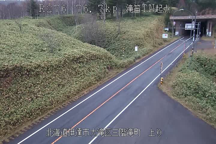
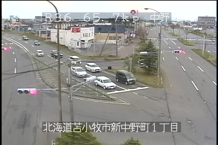
Webcams near Mount Fuppushi


History around Mount Fuppushi
Towns near Mount Fuppushi
- Shiraoi19 km away
- Tomakomai22 km away
- Eniwa26 km away
- Chitose27 km away
- Noboribetsu33 km away
- Kitahiroshima33 km away