Mountains in Japan
Mount Hira
1,771 m5,810 ft
Mountain · Ishikari Mountains · Japan
平山(ひらやま)は、北海道の紋別郡遠軽町と上川郡上川町に位置する標高1,771mの山である。北海道百名山及び北海道の百名山に選定されている。
From Japanese Wikipedia, CC BY-SA · Read the article
 See it in 3D
Facts
- What it is
- Mountain
- Height above sea level
- 1,771 m (5,810 ft)
- Range
- Ishikari Mountains
- Country
- Japan
- Coordinates
- 43.760°N 143.007°E
- Source
- Wikidata, CC0
Peaks near Mount Hira
- Mount Kuro1,984 m · 9.9 km awayOn the map
- Mount Keigetsu1,938 m · 10 km awayOn the map
- Mount Eboshi2,072 m · 11 km awayOn the map
- Mount Ryōun2,125 m · 11 km awayOn the map
- Mount Aka2,079 m · 12 km awayOn the map
- Mount Koizumi2,158 m · 12 km awayOn the map
- Mount Goshiki2,038 m · 12 km awayOn the map
- Mount Nokogiri2,142 m · 13 km awayOn the map
- Mount Hokuchin2,244 m · 13 km awayOn the map
- Mount Hokkai2,149 m · 13 km awayOn the map
Highest in the Ishikari Mountains
- Mount Ishikari1,967 mOn the map
- Mount Hira1,771 mOn the map
- Mount Niseicharomappu1,760 mOn the map
- Mount Muka1,759 mOn the map
- Mount Piribetsu1,602 mOn the map
- Mount Kumaneshiri1,586 mOn the map
- Mount Numanohara1,506 mOn the map
- Mount Naitai1,332 mOn the map
- Mount Kitoushi1,312 mOn the map
Highest mountains in Japan
- Mount Fuji3,777 mOn the map
- Mount Kita3,193 mOn the map
- Hotaka Mountains3,190 mOn the map
- Ainodake3,189 mOn the map
- Mount Yari3,180 mOn the map
- Mount Warusawa3,141 mOn the map
- Mount Akaishi3,120 mOn the map
- Mount Ontake3,067 mOn the map
- Mount Shiomi3,047 mOn the map
- Mount Senjō3,033 mOn the map
Webcams near Mount Hira
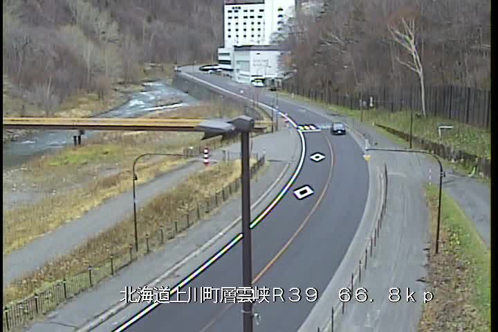

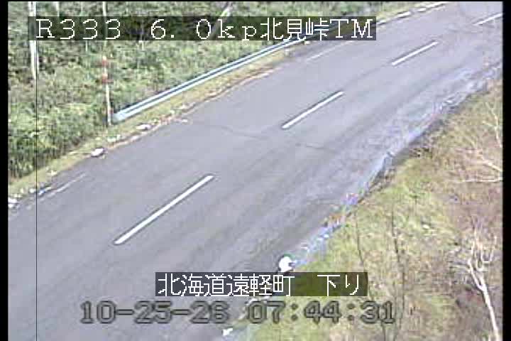
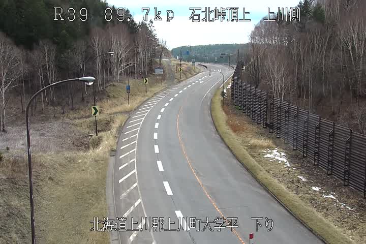
Towns near Mount Hira
- Asahikawa52 km away
- Engaru54 km away
- Shibetsu67 km away
- Minamishibetsuchō67 km away
- Shimo-furano68 km away
- Furano68 km away