Mountains in Japan
Mount Inaarakura
2,519 m8,264 ft
Mountain · Akaishi Mountains · Japan
伊那荒倉岳(いなあらくらだけ)は、長野県伊那市と山梨県南アルプス市とにまたがる南アルプス国立公園内の赤石山脈の北部にある標高2,519 mの山である。 仙丈ヶ岳から塩見岳に続く仙塩尾根上にある。稜線のすぐ南の鞍部付近に高望池がある。
From Japanese Wikipedia, CC BY-SA · Read the article
At the summit · forecast for 4:00 AM
-3 °CFog · wind 12 km/h from the S
 See it in 3D
Weather at the summit of Mount Inaarakura, 2,519 m
- 4:00 AM-3 °CS 12 km/h–
- 7:00 AM-0 °CSW 11 km/h–
- 10:00 AM4 °CW 16 km/h–
- 1:00 PM5 °CW 14 km/h–
- 4:00 PM2 °CNW 8 km/h–
- 7:00 PM-4 °CSE 6 km/h–
- 10:00 PM-4 °CSE 8 km/h–
- 1:00 AM-3 °CS 7 km/h–
| Day | Sky | High / low | Rain | Wind up to |
|---|---|---|---|---|
| Today | Clear | 5 °C / -5 °C | – | 16 km/h |
| Thu, Oct 29 | Partly cloudy | 6 °C / -4 °C | – | 18 km/h |
| Fri, Oct 30 | Light rain | 5 °C / -0 °C | 5.3 mm | 20 km/h |
| Sat, Oct 31 | Partly cloudy | 3 °C / -2 °C | 0.3 mm | 13 km/h |
| Sun, Nov 1 | Cloudy | 4 °C / -5 °C | – | 12 km/h |
| Mon, Nov 2 | Heavy rain | 5 °C / 1 °C | 8.4 mm | 17 km/h |
| Tue, Nov 3 | Cloudy | 7 °C / -1 °C | – | 10 km/h |
Forecast by MET Norway (CC BY 4.0), updated 10:17 PM GMT+9. Times are local.
Facts
- What it is
- Mountain
- Height above sea level
- 2,519 m (8,264 ft)
- Range
- Akaishi Mountains
- Country
- Japan
- Coordinates
- 35.689°N 138.194°E
- Source
- Wikidata, CC0
Peaks near Mount Inaarakura
- Mount Senjō3,033 m · 3.6 km awayOn the map
- Mount Kita3,193 m · 4.3 km awayOn the map
- Ainodake3,189 m · 5.7 km awayOn the map
- Mount Nōtori3,026 m · 8.5 km awayOn the map
- Mount Kaikoma2,967 m · 8.5 km awayOn the map
- Mount Hōō2,840 m · 10 km awayOn the map
- Mount Nokogiri2,643 m · 10 km awayOn the map
- Mount Shiomi3,047 m · 13 km awayOn the map
- Mount Warusawa3,141 m · 21 km awayOn the map
- Mount Nyūkasa1,955 m · 23 km awayOn the map
Highest in the Akaishi Mountains
- Mount Kita3,193 mOn the map
- Ainodake3,189 mOn the map
- Mount Akaishi3,120 mOn the map
- Mount Shiomi3,047 mOn the map
- Mount Senjō3,033 mOn the map
- Mount Nōtori3,026 mOn the map
- Mount Hijiri3,013 mOn the map
- Mount Kaikoma2,967 mOn the map
- Mount Inaarakura2,519 mOn the map
Highest mountains in Japan
- Mount Fuji3,777 mOn the map
- Mount Kita3,193 mOn the map
- Hotaka Mountains3,190 mOn the map
- Ainodake3,189 mOn the map
- Mount Yari3,180 mOn the map
- Mount Warusawa3,141 mOn the map
- Mount Akaishi3,120 mOn the map
- Mount Ontake3,067 mOn the map
- Mount Shiomi3,047 mOn the map
- Mount Senjō3,033 mOn the map
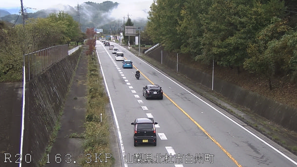
Webcams near Mount Inaarakura


History around Mount Inaarakura
- Siege of Takatō1545
- Siege of Takatō1582
Towns near Mount Inaarakura
- Nirasaki23 km away
- Komagane23 km away
- Hokuto24 km away
- Minami-Alps26 km away
- Minamiarupusu26 km away
- Ina27 km away