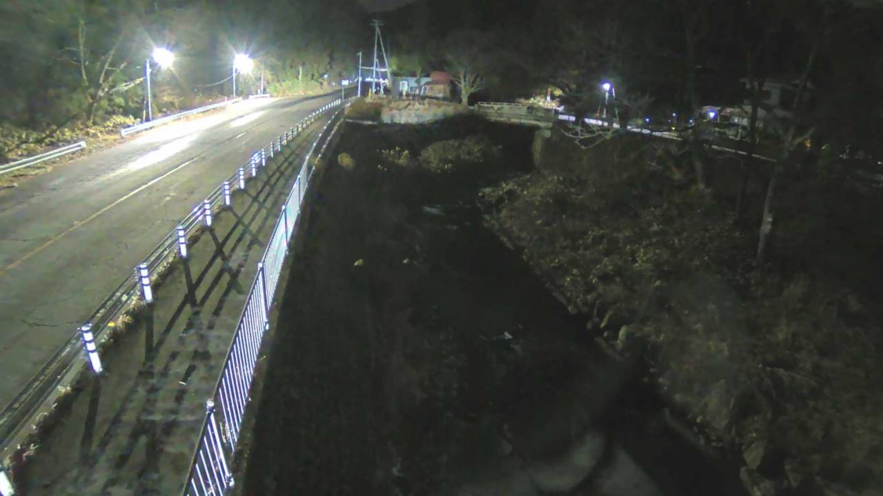
Mount Kusatsu-Shirane
2,160 m7,087 ft
Volcano · Japan
Mount Kusatsu-Shirane is a 2,165 m (7,103 ft) active stratovolcano in Kusatsu, Gunma, Japan. It is called Kusatsu Shirane to differentiate it from the Mount Nikkō-Shirane on the other side of Gunma Prefecture.
From Wikipedia, CC BY-SA · Read the article
At the summit · forecast for 7:00 AM
-3 °CLight snow · wind 23 km/h from the NW
 See it in 3D
Weather at the summit of Mount Kusatsu-Shirane, 2,160 m
- 7:00 AM-3 °CNW 23 km/h0.3 mm
- 10:00 AM-2 °CNW 20 km/h–
- 1:00 PM-1 °CNW 18 km/h–
- 4:00 PM-3 °CNW 15 km/h–
- 7:00 PM-5 °CNW 13 km/h–
- 10:00 PM-5 °CN 10 km/h–
- 1:00 AM-6 °CNE 10 km/h–
- 4:00 AM-8 °CE 7 km/h–
| Day | Sky | High / low | Rain | Wind up to |
|---|---|---|---|---|
| Today | Partly cloudy | -1 °C / -5 °C | 0.3 mm | 23 km/h |
| Thu, Oct 29 | Mostly clear | 5 °C / -8 °C | – | 13 km/h |
| Fri, Oct 30 | Cloudy | 8 °C / 2 °C | 0.8 mm | 18 km/h |
| Sat, Oct 31 | Sleet | 4 °C / -2 °C | 6.2 mm | 14 km/h |
| Sun, Nov 1 | Cloudy | 1 °C / -4 °C | 0.3 mm | 10 km/h |
| Mon, Nov 2 | Light rain | 6 °C / -1 °C | 1.8 mm | 15 km/h |
| Tue, Nov 3 | Cloudy | 2 °C / -3 °C | 0.6 mm | 10 km/h |
Forecast by MET Norway (CC BY 4.0), updated 04:17 AM GMT+9. Times are local.
Facts
- What it is
- Volcano
- Height above sea level
- 2,160 m (7,087 ft)
- Country
- Japan
- Coordinates
- 36.645°N 138.528°E
- Volcano number
- 283120 at the Global Volcanism Program
- Source
- Wikidata, CC0
Mount Kusatsu-Shirane
Stratovolcano on the island of Honshu, Japan
Mount Kusatsu-Shirane is a 2,165 m (7,103 ft) active stratovolcano in Kusatsu, Gunma, Japan. It is called Kusatsu Shirane to differentiate it from the Mount Nikkō-Shirane on the other side of Gunma Prefecture. The summit of Kusatsu-Shirane volcano, located immediately north of Asama volcano, consists of a series of overlapping pyroclastic cones and three crater lakes.
From Wikipedia, CC BY-SA · Read the article
33 recorded eruptions
- Eruption in 2018
- Eruption in 1989
- Eruption in 1983
- Eruption in 1982
- Eruption in 1976
- Eruption in 1976
- Eruption in 1971
- Eruption in 1958
- Eruption in 1942
- Eruption in 1941
- Eruption in 1940
- Eruption in 1939
The latest 12 of 33, from the Smithsonian’s Global Volcanism Program through History.
Peaks near Mount Kusatsu-Shirane
- Mount Shiga1,986 m · 6.2 km awayOn the map
- Mount Higashidate1,994 m · 9.7 km awayOn the map
- Mount Yakebitai2,009 m · 14 km awayOn the map
- Mount Azumaya2,354 m · 15 km awayOn the map
- Mount Neko2,207 m · 16 km awayOn the map
- Mount Naeba2,145 m · 27 km awayOn the map
- Mount Asama2,568 m · 27 km awayOn the map
- Mount Minakami659 m · 29 km awayOn the map
- Mount Madarao1,382 m · 31 km awayOn the map
- Mount Haruna1,449 m · 36 km awayOn the map
Highest mountains in Japan
- Mount Fuji3,777 mOn the map
- Mount Kita3,193 mOn the map
- Hotaka Mountains3,190 mOn the map
- Ainodake3,189 mOn the map
- Mount Yari3,180 mOn the map
- Mount Warusawa3,141 mOn the map
- Mount Akaishi3,120 mOn the map
- Mount Ontake3,067 mOn the map
- Mount Shiomi3,047 mOn the map
- Mount Senjō3,033 mOn the map