Facts
- What it is
- Mountain
- Height above sea level
- 649 m (2,130 ft)
- Range
- Teshio Mountains
- Country
- Japan
- Coordinates
- 44.460°N 142.193°E
- Source
- Wikidata, CC0
Peaks near Mount Kutombetsu
- Mount Pisshiri1,032 m · 17 km awayOn the map
- Mount Hako1,129 m · 29 km awayOn the map
- Mount Piyashiri987 m · 31 km awayOn the map
- Mount Santo1,009 m · 42 km awayOn the map
- Mount Shiitotomushimenu799 m · 9.6 km awayOn the map
- Mount Haboro649 m · 25 km awayOn the map
- Mount Kudo674 m · 26 km awayOn the map
- Mount Sounnai608 m · 26 km awayOn the map
- Mount TenguMountain · 32 km awayOn the map
- Otoi Fuji489 m · 32 km awayOn the map
Highest in the Teshio Mountains
- Mount Pisshiri1,032 mOn the map
- Mount Santo1,009 mOn the map
- Mount Obirashibe960 mOn the map
- Mount Obirashibe878 mOn the map
- Mount Poroshiri730 mOn the map
- Mount Haboro649 mOn the map
- Mount Kutombetsu649 mOn the map
- Mount Sounnai608 mOn the map
Highest mountains in Japan
- Mount Fuji3,777 mOn the map
- Mount Kita3,193 mOn the map
- Hotaka Mountains3,190 mOn the map
- Ainodake3,189 mOn the map
- Mount Yari3,180 mOn the map
- Mount Warusawa3,141 mOn the map
- Mount Akaishi3,120 mOn the map
- Mount Ontake3,067 mOn the map
- Mount Shiomi3,047 mOn the map
- Mount Senjō3,033 mOn the map
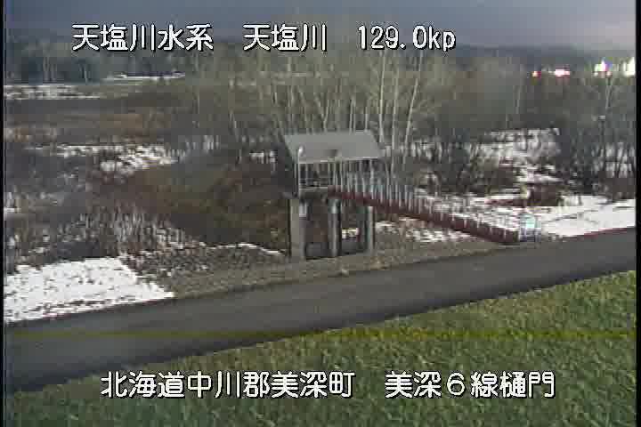
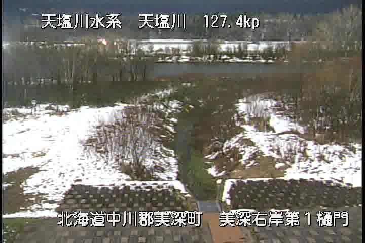
Webcams near Mount Kutombetsu


Towns near Mount Kutombetsu
- Nayoro24 km away
- Shibetsu36 km away
- Minamishibetsuchō37 km away
- Rumoi73 km away
- Asahikawa78 km away