Mountains in United States
Mount Le Conte
6,593 ft2,010 m
Mountain · Great Smoky Mountains · United States
Mount Le Conte is a mountain located within the Great Smoky Mountains National Park in Sevier County, Tennessee. At 6,593 ft (2,010 m) it is the third highest peak in the national park, behind Kuwohi and Mount Guyot. It is also the highest peak that is completely within Tennessee.
From Wikipedia, CC BY-SA · Read the article
At the summit · forecast for 11:00 PM
41 °FPartly cloudy · wind 3 mph from the SE
 See it in 3D
Weather at the summit of Mount Le Conte, 6,593 ft
- 11:00 PM41 °FSE 3 mph–
- 2:00 AM42 °FSE 2 mph–
- 5:00 AM40 °FS 2 mph–
- 8:00 AM40 °FS 2 mph–
- 11:00 AM52 °FNW 3 mph–
- 2:00 PM55 °FNW 5 mph–
- 5:00 PM53 °FNW 4 mph–
- 8:00 PM42 °FSE 3 mph–
| Day | Sky | High / low | Rain | Wind up to |
|---|---|---|---|---|
| Tue, Oct 27 | Clear | 55 °F / 39 °F | – | 5 mph |
| Wed, Oct 28 | Partly cloudy | 54 °F / 36 °F | – | 6 mph |
| Thu, Oct 29 | Clear | 53 °F / 36 °F | – | 6 mph |
| Fri, Oct 30 | Clear | 57 °F / 41 °F | – | 5 mph |
| Sat, Oct 31 | Cloudy | 52 °F / 41 °F | – | 5 mph |
| Sun, Nov 1 | Rain | 46 °F / 42 °F | 0.42 in | 8 mph |
| Mon, Nov 2 | Cloudy | 55 °F / 44 °F | 0 in | 5 mph |
Forecast by MET Norway (CC BY 4.0), updated 09:17 PM EDT. Times are local.
Facts
- What it is
- Mountain
- Height above sea level
- 6,593 ft (2,010 m)
- Prominence
- 1,360 ft (415 m)
- Range
- Great Smoky Mountains
- Country
- United States
- Coordinates
- 35.654°N 83.437°W
- Source
- Wikidata, CC0
Peaks near Mount Le Conte
- Mount Kephart6,217 ft · 5 km awayOn the map
- Mount Collins6,188 ft · 8.2 km awayOn the map
- Kuwohi6,644 ft · 12 km awayOn the map
- Silers Bald5,607 ft · 15 km awayOn the map
- Mount Guyot6,621 ft · 17 km awayOn the map
- Mount Hardison6,145 ft · 17 km awayOn the map
- Old Black6,370 ft · 18 km awayOn the map
- Waterrock Knob6,292 ft · 34 km awayOn the map
- Chilhowee Mountain2,843 ft · 36 km awayOn the map
- North Eaglenest Mountain5,075 ft · 40 km awayOn the map
Highest in the Great Smoky Mountains
- Kuwohi6,644 ftOn the map
- Mount Guyot6,621 ftOn the map
- Mount Le Conte6,593 ftOn the map
- Chilhowee Mountain2,843 ftOn the map
Highest mountains in United States
- Denali20,308 ftOn the map
- Mount Saint Elias18,009 ftOn the map
- Mount Foraker17,402 ftOn the map
- Mount Bona16,535 ftOn the map
- Mount Blackburn16,390 ftOn the map
- Mount Sanford16,237 ftOn the map
- Mount Vancouver15,787 ftOn the map
- Mount Churchill15,636 ftOn the map
- Mount Fairweather15,325 ftOn the map
- Mount Hubbard14,951 ftOn the map
Webcams near Mount Le Conte
 NEON Site - D07 (Appalachians and Cumberland Plateau) Great Smoky Mountains National Park, Tennessee - tower top7 km from the summit
 NEON Site - D07 (Appalachians and Cumberland Plateau) Great Smoky Mountains National Park, Tennessee - mid-tower7 km from the summit
 NEON Site - D07 (Appalachians & Cumberland Plateau) LeConte Creek, Tennessee - aquatic/stream-gauge camera7.3 km from the summit
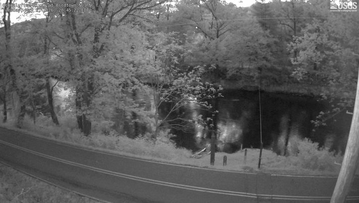 Oconaluftee River at Birdtown NC23 km from the summit
History around Mount Le Conte
Towns near Mount Le Conte
- Gatlinburg9.4 km away
- Pigeon Forge20 km away
- Sevierville26 km away
- Dillsboro36 km away
- Sylva37 km away
- Maggie Valley37 km away