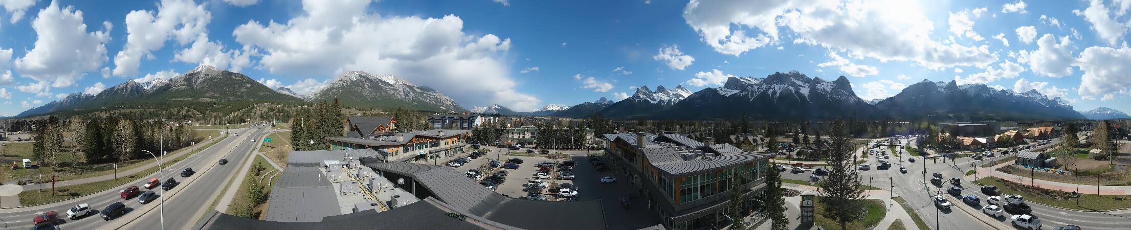
See it in 3D
Facts
- What it is
- Mountain
- Height above sea level
- 2,487 m (8,159 ft)
- Range
- Kananaskis Range
- Country
- Canada
- Coordinates
- 50.986°N 115.134°W
- Source
- Wikidata, CC0
Peaks near Mount Lorette
- Skogan Peak2,662 m · 1.9 km awayOn the map
- Mount McGillivray2,451 m · 5.8 km awayOn the map
- Heart Mountain2,135 m · 6 km awayOn the map
- Pigeon Mountain2,394 m · 6.9 km awayOn the map
- Mount Laurie (Îyâmnathka)2,240 m · 15 km awayOn the map
- The Three Sisters2,936 m · 15 km awayOn the map
- Mount Buller2,805 m · 17 km awayOn the map
- Mount Nestor2,970 m · 17 km awayOn the map
- Mount Galatea3,185 m · 19 km awayOn the map
- The Fortress3,000 m · 19 km awayOn the map
Highest in the Kananaskis Range
- Mount Galatea3,185 mOn the map
- Wind Mountain3,153 mOn the map
- Mount Bogart3,144 mOn the map
- The Tower3,117 mOn the map
- Mount Chester3,054 mOn the map
- Mount James Walker3,035 mOn the map
- Mount Inflexible3,000 mOn the map
- Mount Engadine2,972 mOn the map
- Mount Lorette2,487 mOn the map
Highest mountains in Canada
- Mount Logan5,959 mOn the map
- Mount Saint Elias18,009 ftOn the map
- Mount Lucania5,240 mOn the map
- King Peak5,173 mOn the map
- Mount Steele5,073 mOn the map
- Mount Wood4,850 mOn the map
- Mount Vancouver15,787 ftOn the map
- Mount Slaggard4,742 mOn the map
- Mount Macaulay4,700 mOn the map
- Mount Fairweather15,325 ftOn the map