Mountains in Japan
See it in 3DMount Naka
2,113 m6,932 ft
Mountain · Japan
Mount Naka is located in the Daisetsuzan Volcanic Group of the Ishikari Mountains, Hokkaido, Japan. It sits on the north rim of the Ohachidaira caldera.
From Wikipedia, CC BY-SA · Read the article
At the summit · forecast for 6:00 PM
-13 °CHeavy snow · wind 19 km/h from the W
Weather at the summit of Mount Naka, 2,113 m
- 6:00 PM-13 °CW 19 km/h2.2 mm
- 9:00 PM-14 °CW 18 km/h0.6 mm
- 12:00 AM-14 °CW 19 km/h0.6 mm
- 3:00 AM-13 °CW 21 km/h0.2 mm
- 6:00 AM-12 °CW 23 km/h–
- 9:00 AM-10 °CW 18 km/h–
- 12:00 PM-7 °CSW 15 km/h–
- 3:00 PM-6 °CS 11 km/h0.3 mm
| Day | Sky | High / low | Rain | Wind up to |
|---|---|---|---|---|
| Thu, Oct 29 | Partly cloudy | -5 °C / -14 °C | 6.8 mm | 23 km/h |
| Fri, Oct 30 | Partly cloudy | 1 °C / -5 °C | 0.2 mm | 18 km/h |
| Sat, Oct 31 | Snow | -1 °C / -11 °C | 12.9 mm | 16 km/h |
| Sun, Nov 1 | Cloudy | -12 °C / -15 °C | 7.1 mm | 18 km/h |
| Mon, Nov 2 | Cloudy | -5 °C / -16 °C | 7.7 mm | 8 km/h |
| Tue, Nov 3 | Heavy snow | -8 °C / -13 °C | 13 mm | 10 km/h |
| Wed, Nov 4 | Light snow | -11 °C / -15 °C | 9.4 mm | 12 km/h |
Forecast by MET Norway (CC BY 4.0), updated 04:17 PM GMT+9. Times are local.
Facts
- What it is
- Mountain
- Height above sea level
- 2,113 m (6,932 ft)
- Country
- Japan
- Coordinates
- 43.686°N 142.876°E
- Source
- Wikidata, CC0
Peaks near Mount Naka
- Mount Hokuchin2,244 m · 0.8 km awayOn the map
- Mount Nokogiri2,142 m · 1.3 km awayOn the map
- Mount Mamiya2,185 m · 1.6 km awayOn the map
- Mount Pippu2,197 m · 1.8 km awayOn the map
- Mount Matsuda2,136 m · 1.9 km awayOn the map
- Mount Hokkai2,149 m · 1.9 km awayOn the map
- Mount Kuma2,210 m · 2.1 km awayOn the map
- Mount Ryōun2,125 m · 2.2 km awayOn the map
- Mount Nagayama1,978 m · 2.7 km awayOn the map
- Mount Aibetsu2,113 m · 2.9 km awayOn the map
Highest mountains in Japan
- Mount Fuji3,777 mOn the map
- Mount Kita3,193 mOn the map
- Hotaka Mountains3,190 mOn the map
- Ainodake3,189 mOn the map
- Mount Yari3,180 mOn the map
- Mount Warusawa3,141 mOn the map
- Mount Akaishi3,120 mOn the map
- Mount Ontake3,067 mOn the map
- Mount Shiomi3,047 mOn the map
- Mount Senjō3,033 mOn the map
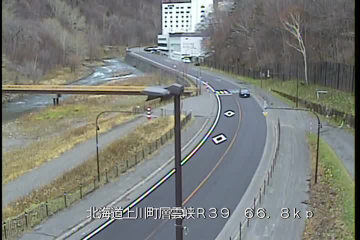
Webcams near Mount Naka


Towns near Mount Naka
- Asahikawa42 km away
- Shimo-furano55 km away
- Furano55 km away
- Ashibetsu59 km away
- Minamishibetsuchō66 km away
- Shibetsu66 km away