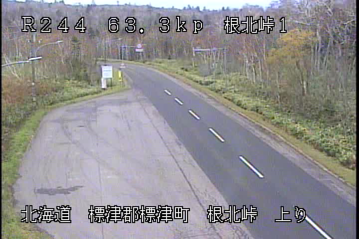
Mountains in Japan
Mount Nishitake
698 m2,290 ft
Mountain · Shiretoko Peninsula · Japan
西竹山(にしたけやま)は、北海道の標津郡中標津町にある標高697.9mの山である。山頂には三等三角点「突呉別」が設置されている。
From Japanese Wikipedia, CC BY-SA · Read the article
At the summit · forecast for 3:00 PM
5 °CCloudy · wind 14 km/h from the SE
 See it in 3D
Weather at the summit of Mount Nishitake, 698 m
- 3:00 PM5 °CSE 14 km/h0.1 mm
- 6:00 PM3 °CSE 12 km/h–
- 9:00 PM3 °CE 8 km/h3.9 mm
- 12:00 AM3 °CW 12 km/h0.1 mm
- 3:00 AM1 °CNW 9 km/h0.7 mm
- 6:00 AM-1 °CNW 28 km/h–
- 9:00 AM1 °CW 29 km/h–
- 12:00 PM2 °CW 36 km/h–
| Day | Sky | High / low | Rain | Wind up to |
|---|---|---|---|---|
| Wed, Oct 28 | Mostly clear | 3 °C / -2 °C | 0.8 mm | 40 km/h |
| Thu, Oct 29 | Partly cloudy | 3 °C / -3 °C | 0.5 mm | 29 km/h |
| Fri, Oct 30 | Clear | 10 °C / 3 °C | 1.2 mm | 27 km/h |
| Sat, Oct 31 | Partly cloudy | 8 °C / 3 °C | 1.8 mm | 19 km/h |
| Sun, Nov 1 | Clear | 3 °C / -2 °C | – | 22 km/h |
| Mon, Nov 2 | Cloudy | 1 °C / -2 °C | 5 mm | 17 km/h |
| Tue, Nov 3 | Partly cloudy | 1 °C / -3 °C | – | 23 km/h |
Forecast by MET Norway (CC BY 4.0), updated 10:17 AM GMT+9. Times are local.
Facts
- What it is
- Mountain
- Height above sea level
- 698 m (2,290 ft)
- Range
- Shiretoko Peninsula
- Country
- Japan
- Coordinates
- 43.630°N 144.743°E
- Source
- Wikidata, CC0
Peaks near Mount Nishitake
- Mount Shibetsu1,061 m · 5.2 km awayOn the map
- Mount Samakkenupuri1,062 m · 6.1 km awayOn the map
- Mount Shari1,547 m · 15 km awayOn the map
- Mount Mashu857 m · 16 km awayOn the map
- Atosa Nupuri512 m · 25 km awayOn the map
- Mount Unabetsu1,419 m · 29 km awayOn the map
- Mount Mokoto1,000 m · 34 km awayOn the map
- Rasau Nupuri1,019 m · 38 km awayOn the map
- Mount Onnebetsu1,330 m · 46 km awayOn the map
- Mount Chinishibetsu1,317 m · 50 km awayOn the map
Highest in the Shiretoko Peninsula
- Mount Sokippu1,026 mOn the map
- Rasau Nupuri1,019 mOn the map
- Mount Mataochidake1,003 mOn the map
- Senpo953 mOn the map
- Mount Yōrōushidake846 mOn the map
- Mount Nukamappu735 mOn the map
- Mount Kiri721 mOn the map
- Mount Kumbetsu699 mOn the map
- Mount Nishitake698 mOn the map
Highest mountains in Japan
- Mount Fuji3,777 mOn the map
- Mount Kita3,193 mOn the map
- Hotaka Mountains3,190 mOn the map
- Ainodake3,189 mOn the map
- Mount Yari3,180 mOn the map
- Mount Warusawa3,141 mOn the map
- Mount Akaishi3,120 mOn the map
- Mount Ontake3,067 mOn the map
- Mount Shiomi3,047 mOn the map
- Mount Senjō3,033 mOn the map