Mountains in Japan
Mount Ōmuro
1,468 m4,816 ft
Volcano · Japan
Mount Ōmuro is a mountain located at the northwestern foot of Mount Fuji, in Fujikawaguchiko, Minamitsuru District, Yamanashi Prefecture.
From Wikipedia, CC BY-SA · Read the article
At the summit · forecast for 2:00 AM
5 °CFog · wind 6 km/h from the SE
 See it in 3D
Weather at the summit of Mount Ōmuro, 1,468 m
- 2:00 AM5 °CSE 6 km/h–
- 5:00 AM5 °CSE 6 km/h–
- 8:00 AM6 °CS 8 km/h–
- 11:00 AM8 °CS 12 km/h–
- 2:00 PM10 °CS 16 km/h–
- 5:00 PM7 °CSE 8 km/h0.1 mm
- 8:00 PM7 °CSE 9 km/h–
- 11:00 PM8 °CS 12 km/h–
| Day | Sky | High / low | Rain | Wind up to |
|---|---|---|---|---|
| Today | Partly cloudy | 10 °C / 5 °C | 0.1 mm | 16 km/h |
| Fri, Oct 30 | Cloudy | 14 °C / 8 °C | 0.6 mm | 15 km/h |
| Sat, Oct 31 | Clear | 13 °C / 5 °C | – | 9 km/h |
| Sun, Nov 1 | Light rain | 9 °C / 5 °C | 0.7 mm | 8 km/h |
| Mon, Nov 2 | Heavy rain | 10 °C / 7 °C | 11.6 mm | 15 km/h |
| Tue, Nov 3 | Partly cloudy | 12 °C / 7 °C | 0.5 mm | 9 km/h |
| Wed, Nov 4 | Cloudy | 9 °C / 6 °C | 1 mm | 5 km/h |
Forecast by MET Norway (CC BY 4.0), updated 08:19 PM GMT+9. Times are local.
Facts
- What it is
- Volcano
- Height above sea level
- 1,468 m (4,816 ft)
- Country
- Japan
- Coordinates
- 35.441°N 138.654°E
- Source
- Wikidata, CC0
Peaks near Mount Ōmuro
- Mount Kenashi1,964 m · 10 km awayOn the map
- Mount Fuji3,777 m · 11 km awayOn the map
- Mount Hōei2,693 m · 14 km awayOn the map
- Mount Minobu1,153 m · 22 km awayOn the map
- Myōjinyama1,291 m · 24 km awayOn the map
- Mount Ashitaka1,504 m · 28 km awayOn the map
- Mount Ashigara1,212 m · 36 km awayOn the map
- Mount Ōno723 m · 36 km awayOn the map
- Mount Omuro1,587 m · 38 km awayOn the map
- Mount Daibosatsu2,057 m · 38 km awayOn the map
Highest mountains in Japan
- Mount Fuji3,777 mOn the map
- Mount Kita3,193 mOn the map
- Hotaka Mountains3,190 mOn the map
- Ainodake3,189 mOn the map
- Mount Yari3,180 mOn the map
- Mount Warusawa3,141 mOn the map
- Mount Akaishi3,120 mOn the map
- Mount Ontake3,067 mOn the map
- Mount Shiomi3,047 mOn the map
- Mount Senjō3,033 mOn the map
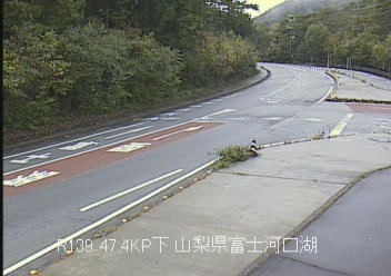
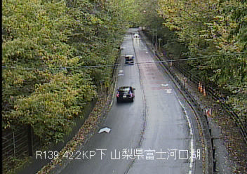
Webcams near Mount Ōmuro


History around Mount Ōmuro
- BOAC Flight 9111966
- 薬剤師リンチ殺人事件1994
- Sanchū Ikki1726
- Battle of Bōgane1508
Towns near Mount Ōmuro
- Fujikawaguchiko6.2 km away
- Fujiyoshida13 km away
- Fuefuki22 km away
- Chūō22 km away
- Isawa23 km away
- Shōwa23 km away