Facts
- What it is
- Mountain
- Height above sea level
- 13,927 ft (4,245 m)
- Country
- United States
- Coordinates
- 36.592°N 118.300°W
- Source
- Wikidata, CC0
Peaks near Mount Randy Morgenson
- Mount Russell14,094 ft · 0.8 km awayOn the map
- Mount Whitney14,505 ft · 1.6 km awayOn the map
- Mount Carillon13,553 ft · 1.9 km awayOn the map
- Tunnabora Peak13,566 ft · 2.2 km awayOn the map
- Mount Young13,182 ft · 2.7 km awayOn the map
- Mount Muir14,016 ft · 3.1 km awayOn the map
- Mount Barnard13,996 ft · 4.5 km awayOn the map
- Mount Mallory13,851 ft · 5.8 km awayOn the map
- Trojan Peak13,950 ft · 5.9 km awayOn the map
- Mount Chamberlin13,169 ft · 6.5 km awayOn the map
Highest mountains in United States
- Denali20,308 ftOn the map
- Mount Saint Elias18,009 ftOn the map
- Mount Foraker17,402 ftOn the map
- Mount Bona16,535 ftOn the map
- Mount Blackburn16,390 ftOn the map
- Mount Sanford16,237 ftOn the map
- Mount Vancouver15,787 ftOn the map
- Mount Churchill15,636 ftOn the map
- Mount Fairweather15,325 ftOn the map
- Mount Hubbard14,951 ftOn the map
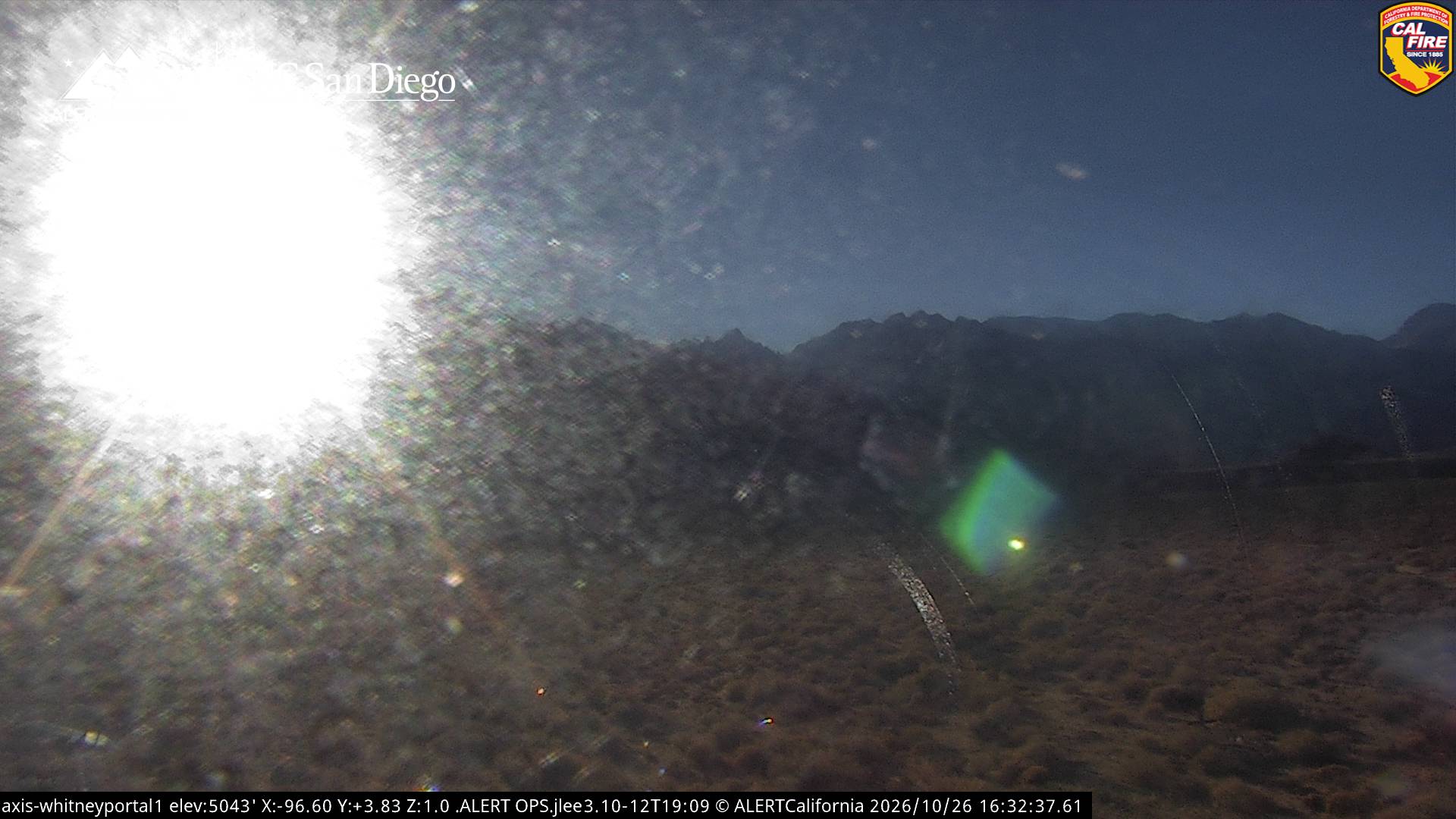
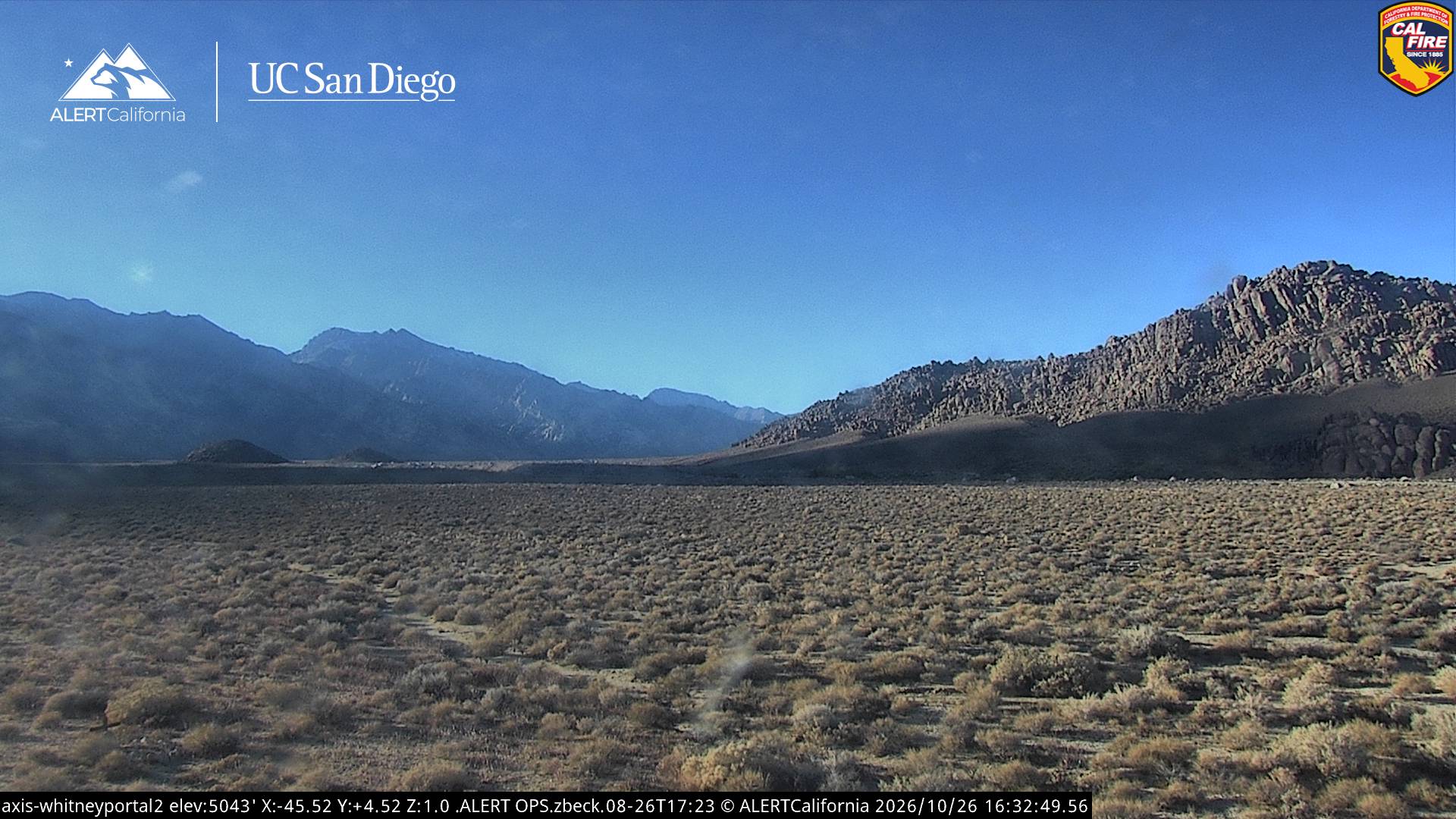
Webcams near Mount Randy Morgenson
History around Mount Randy Morgenson
Towns near Mount Randy Morgenson
- Woodlake74 km away