Mount Rubidoux
1,329 ft405 m
Mountain · San Bernardino Mountains · United States
Mount Rubidoux is a mountain just west of downtown in the city of Riverside, California, United States, that has been designated a city park and landmark.
From Wikipedia, CC BY-SA · Read the article
At the summit · forecast for 5:00 PM
75 °FClear · wind 6 mph from the W
 See it in 3D
Weather at the summit of Mount Rubidoux, 1,329 ft
- 5:00 PM75 °FW 6 mph–
- 8:00 PM65 °FW 3 mph–
- 11:00 PM60 °FSW 2 mph–
- 2:00 AM55 °FSE 2 mph–
- 5:00 AM51 °FE 4 mph–
- 8:00 AM52 °FE 5 mph–
- 11:00 AM67 °FNW 3 mph–
- 2:00 PM73 °FW 4 mph–
| Day | Sky | High / low | Rain | Wind up to |
|---|---|---|---|---|
| Tue, Oct 27 | Clear | 74 °F / 50 °F | – | 6 mph |
| Wed, Oct 28 | Partly cloudy | 74 °F / 50 °F | – | 6 mph |
| Thu, Oct 29 | Mostly clear | 72 °F / 53 °F | 0.04 in | 4 mph |
| Fri, Oct 30 | Partly cloudy | 67 °F / 58 °F | 0.02 in | 7 mph |
| Sat, Oct 31 | Cloudy | 64 °F / 56 °F | 0.04 in | 2 mph |
| Sun, Nov 1 | Cloudy | 76 °F / 57 °F | – | 4 mph |
| Mon, Nov 2 | Clear | 80 °F / 55 °F | – | 6 mph |
Forecast by MET Norway (CC BY 4.0), updated 04:20 PM PDT. Times are local.
Facts
- What it is
- Mountain
- Height above sea level
- 1,329 ft (405 m)
- Prominence
- 484 ft (148 m)
- Range
- San Bernardino Mountains
- Country
- United States
- Coordinates
- 33.984°N 117.393°W
- Source
- Wikidata, CC0
Mount Rubidoux
Mountain in Riverside, California, United States
Mount Rubidoux is a mountain just west of downtown in the city of Riverside, California, United States, that has been designated a city park and landmark. The mountain was once a popular Southern California tourist destination and is still the site of the oldest outdoor non-denominational Easter Sunrise service in the United States.
From Wikipedia, CC BY-SA · Read the article
Peaks near Mount Rubidoux
- Victoria Hill1,005 ft · 3.5 km awayOn the map
- Sugarloaf Mountain1,947 ft · 6.6 km awayOn the map
- Mount Jurupa2,224 ft · 7.1 km awayOn the map
- Slover Mountain1,184 ft · 10 km awayOn the map
- Box Springs Mountain3,081 ft · 11 km awayOn the map
- Three Sisters1,886 ft · 13 km awayOn the map
- Arlington Mountain1,857 ft · 14 km awayOn the map
- Beacon Hill1,019 ft · 16 km awayOn the map
- Estelle Mountain2,767 ft · 24 km awayOn the map
- Cucamonga Peak8,862 ft · 32 km awayOn the map
Highest in the San Bernardino Mountains
- San Gorgonio Mountain11,503 ftOn the map
- Mount Rubidoux1,329 ftOn the map
Highest mountains in United States
- Denali20,308 ftOn the map
- Mount Saint Elias18,009 ftOn the map
- Mount Foraker17,402 ftOn the map
- Mount Bona16,535 ftOn the map
- Mount Blackburn16,390 ftOn the map
- Mount Sanford16,237 ftOn the map
- Mount Vancouver15,787 ftOn the map
- Mount Churchill15,636 ftOn the map
- Mount Fairweather15,325 ftOn the map
- Mount Hubbard14,951 ftOn the map
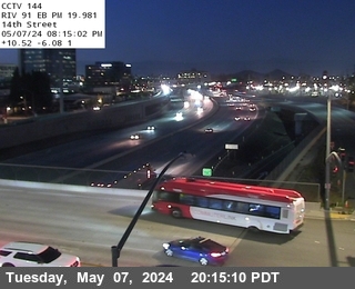
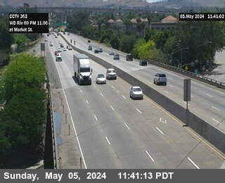
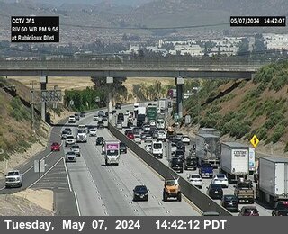
Webcams near Mount Rubidoux

History around Mount Rubidoux
- Two gunmen open fire at a workplace in San Bernardino, California, killing 14 before dying themselves in a shootout with police2015
- San Bernardino train disaster1989
- Norco shootout1980
- Bain Fire2026
- 2026 Kimberly-Clark distribution center fire2026
- Highway Fire2015
- murder of Jeff Hall2011
- San Bernardino punk riot2006
Towns near Mount Rubidoux
- Rubidoux1.8 km away
- Riverside3.4 km away
- Glen Avon9 km away
- Grand Terrace9 km away
- Bloomington9.6 km away
- Jurupa Valley11 km away