Mountains in Japan
Mount Ryūmon
904 m2,966 ft
Mountain · Ryumon Mountains · Japan
竜門岳(りゅうもんがだけ)は、奈良県の宇陀市と吉野郡吉野町の市町境にある山で、竜門山地に属している。龍門岳あるいは龍門ガ岳(龍門ヶ岳)と表記されることもある。日本三百名山の一つに数えられる。
From Japanese Wikipedia, CC BY-SA · Read the article
The highest point of Ryumon Mountains
At the summit · forecast for 5:00 AM
7 °CPartly cloudy · wind 18 km/h from the NW
 See it in 3D
Weather at the summit of Mount Ryūmon, 904 m
- 5:00 AM7 °CNW 18 km/h–
- 8:00 AM8 °CNW 18 km/h–
- 11:00 AM11 °CNW 20 km/h–
- 2:00 PM11 °CNW 20 km/h–
- 5:00 PM8 °CNW 15 km/h–
- 8:00 PM5 °CNW 10 km/h–
- 11:00 PM4 °CS 4 km/h–
- 2:00 AM1 °CSE 6 km/h–
| Day | Sky | High / low | Rain | Wind up to |
|---|---|---|---|---|
| Today | Partly cloudy | 12 °C / 4 °C | – | 21 km/h |
| Thu, Oct 29 | Mostly clear | 15 °C / -1 °C | – | 8 km/h |
| Fri, Oct 30 | Rain | 16 °C / 6 °C | 7.4 mm | 10 km/h |
| Sat, Oct 31 | Mostly clear | 13 °C / 7 °C | 1.9 mm | 17 km/h |
| Sun, Nov 1 | Cloudy | 10 °C / 6 °C | – | 4 km/h |
| Mon, Nov 2 | Heavy rain | 15 °C / 6 °C | 11.1 mm | 13 km/h |
| Tue, Nov 3 | Cloudy | 13 °C / 9 °C | 1.2 mm | 11 km/h |
Forecast by MET Norway (CC BY 4.0), updated 04:17 AM GMT+9. Times are local.
Facts
- What it is
- Mountain
- Height above sea level
- 904 m (2,966 ft)
- Range
- Ryumon Mountains
- Country
- Japan
- Highest point of
- Ryumon Mountains
- Coordinates
- 34.441°N 135.898°E
- Source
- Wikidata, CC0
Peaks near Mount Ryūmon
- Mount Amanokagu152 m · 9.6 km awayOn the map
- Mount Yoshino350 m · 10 km awayOn the map
- Mount Miwa467 m · 11 km awayOn the map
- Mount Miminashi140 m · 12 km awayOn the map
- Mount Unebi199 m · 12 km awayOn the map
- Mount Shisuniwa1,236 m · 13 km awayOn the map
- Mount Takami1,248 m · 18 km awayOn the map
- Mount Azami1,406 m · 18 km awayOn the map
- Mount Kunimi (Matsusaka, Mie and Higashiyoshino, Nara)1,419 m · 19 km awayOn the map
- Mount Yamato Katsuragi959 m · 20 km awayOn the map
Highest in the Ryumon Mountains
- Mount Ryūmon904 mOn the map
- Mount Amanokagu152 mOn the map
Highest mountains in Japan
- Mount Fuji3,777 mOn the map
- Mount Kita3,193 mOn the map
- Hotaka Mountains3,190 mOn the map
- Ainodake3,189 mOn the map
- Mount Yari3,180 mOn the map
- Mount Warusawa3,141 mOn the map
- Mount Akaishi3,120 mOn the map
- Mount Ontake3,067 mOn the map
- Mount Shiomi3,047 mOn the map
- Mount Senjō3,033 mOn the map
Webcams near Mount Ryūmon


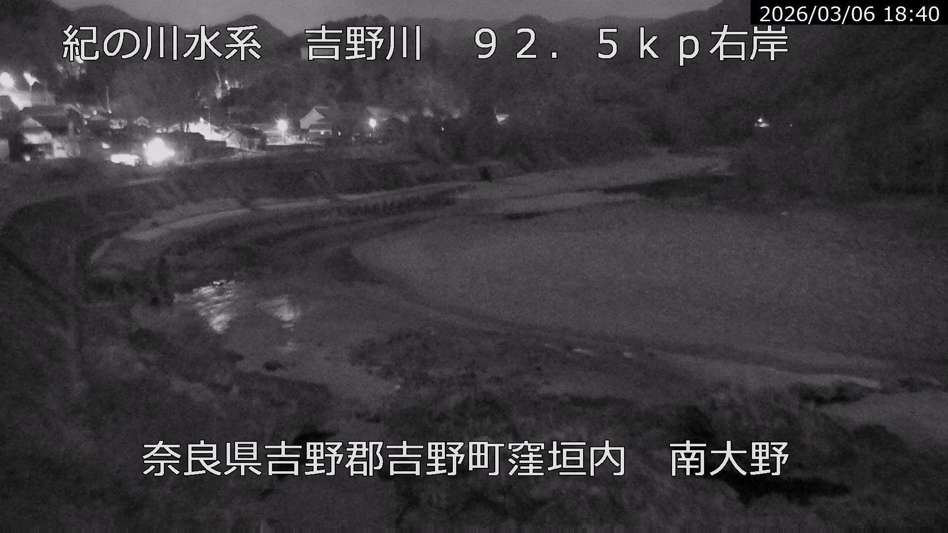

History around Mount Ryūmon
Towns near Mount Ryūmon
- Ōuda-yamaguchi5.5 km away
- Sakurai7.9 km away
- Haibara-akanedai11 km away
- Shimobuchi12 km away
- Kashiwara12 km away
- Kashihara-shi12 km away