 See it in 3D
Facts
- What it is
- Mountain
- Height above sea level
- 7,191 ft (2,192 m)
- Range
- North Cascades
- Country
- United States
- Coordinates
- 48.892°N 121.594°W
- Source
- Wikidata, CC0
Peaks near Mount Sefrit
- Nooksack Tower8,285 ft · 6.2 km awayOn the map
- Mount Shuksan9,127 ft · 6.8 km awayOn the map
- Seahpo Peak7,313 ft · 8.7 km awayOn the map
- Mount Larrabee7,865 ft · 10 km awayOn the map
- American Border Peak7,998 ft · 13 km awayOn the map
- Canadian Border Peak7,516 ft · 14 km awayOn the map
- Slesse Mountain8,002 ft · 15 km awayOn the map
- Whatcom Peak7,574 ft · 16 km awayOn the map
- Mount Blum7,685 ft · 17 km awayOn the map
- Mount Challenger8,207 ft · 19 km awayOn the map
Highest in the North Cascades
- Glacier Peak10,541 ftOn the map
- Bonanza Peak9,516 ftOn the map
- Goode Mountain9,206 ftOn the map
- Buckner Mountain9,114 ftOn the map
- Mount Logan9,087 ftOn the map
- Eldorado Peak8,868 ftOn the map
- Forbidden Peak8,815 ftOn the map
- Clark Mountain8,602 ftOn the map
- Mount Sefrit7,191 ftOn the map
Highest mountains in United States
- Denali20,308 ftOn the map
- Mount Saint Elias18,009 ftOn the map
- Mount Foraker17,402 ftOn the map
- Mount Bona16,535 ftOn the map
- Mount Blackburn16,390 ftOn the map
- Mount Sanford16,237 ftOn the map
- Mount Vancouver15,787 ftOn the map
- Mount Churchill15,636 ftOn the map
- Mount Fairweather15,325 ftOn the map
- Mount Hubbard14,951 ftOn the map
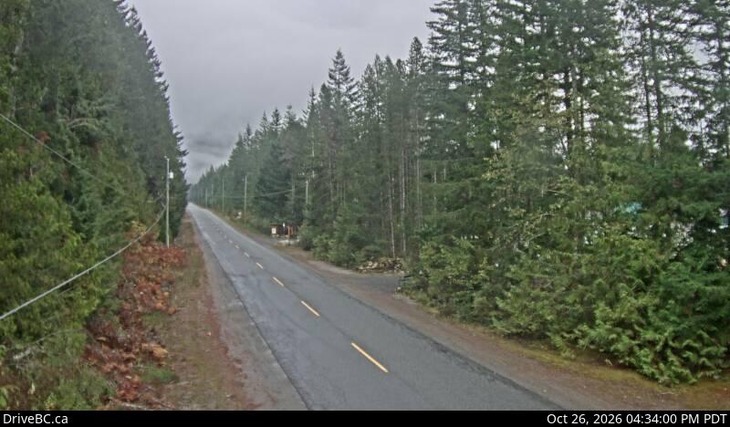
Webcams near Mount Sefrit

History around Mount Sefrit
Towns near Mount Sefrit
- Chilliwack40 km away
- Abbotsford51 km away
- Mission58 km away
- Sedro-Woolley63 km away
- Lynden63 km away
- Bellingham67 km away