Mount Starr
12,841 ft3,914 m
Mountain · Sierra Nevada · United States
Mount Starr, elevation 12,835 feet (3,912 m), is a mountain summit located on the crest of the Sierra Nevada mountain range in northern California, United States.
From Wikipedia, CC BY-SA · Read the article
At the summit · forecast for 4:00 PM
31 °FMostly clear · wind 9 mph from the SW
 See it in 3D
Weather at the summit of Mount Starr, 12,841 ft
- 4:00 PM31 °FSW 9 mph–
- 7:00 PM21 °FSW 5 mph–
- 10:00 PM20 °FSW 5 mph–
- 1:00 AM21 °FSW 4 mph–
- 4:00 AM21 °FSW 5 mph–
- 7:00 AM19 °FSW 6 mph–
- 10:00 AM32 °FSW 9 mph–
- 1:00 PM35 °FSW 12 mph–
| Day | Sky | High / low | Rain | Wind up to |
|---|---|---|---|---|
| Tue, Oct 27 | Mostly clear | 35 °F / 19 °F | – | 13 mph |
| Wed, Oct 28 | Partly cloudy | 36 °F / 17 °F | – | 9 mph |
| Thu, Oct 29 | Light snow | 29 °F / 19 °F | 0.17 in | 9 mph |
| Fri, Oct 30 | Snow | 20 °F / 10 °F | 0.13 in | 9 mph |
| Sat, Oct 31 | Partly cloudy | 19 °F / 10 °F | 0.02 in | 9 mph |
| Sun, Nov 1 | Partly cloudy | 13 °F / 9 °F | 0.01 in | 7 mph |
| Mon, Nov 2 | Clear | 33 °F / 14 °F | – | 4 mph |
Forecast by MET Norway (CC BY 4.0), updated 12:16 PM PDT. Times are local.
Facts
- What it is
- Mountain
- Height above sea level
- 12,841 ft (3,914 m)
- Range
- Sierra Nevada
- Country
- United States
- First ascent
- July 16, 1896
- Coordinates
- 37.429°N 118.765°W
- Source
- Wikidata, CC0
Mount Starr
Mountain in the state of California
Mount Starr, elevation 12,835 feet (3,912 m), is a mountain summit located on the crest of the Sierra Nevada mountain range in northern California, United States. It is situated in the John Muir Wilderness on the common boundary shared by Sierra National Forest with Inyo National Forest, and along the common border of Fresno County with Inyo County.
From Wikipedia, CC BY-SA · Read the article
Peaks near Mount Starr
- Mount Morgan13,754 ft · 3.9 km awayOn the map
- Mount Abbot13,704 ft · 5.1 km awayOn the map
- Mount Dade13,593 ft · 5.4 km awayOn the map
- Mount Hopkins12,313 ft · 5.7 km awayOn the map
- Mount Gabb13,747 ft · 6.7 km awayOn the map
- Feather Peak13,251 ft · 12 km awayOn the map
- Red Slate Mountain13,166 ft · 13 km awayOn the map
- Mount Tom13,658 ft · 14 km awayOn the map
- Mount Morrison12,303 ft · 17 km awayOn the map
- Mount Humphreys13,992 ft · 19 km awayOn the map
Highest in the Sierra Nevada
- Mount Whitney14,505 ftOn the map
- Mount Williamson14,403 ftOn the map
- Mount Russell14,094 ftOn the map
- Mount Langley14,032 ftOn the map
- Mount Tyndall14,025 ftOn the map
- Mount Humphreys13,992 ftOn the map
- Mount Keith13,982 ftOn the map
- Mount LeConte13,936 ftOn the map
- Mount Starr12,841 ftOn the map
Highest mountains in United States
- Denali20,308 ftOn the map
- Mount Saint Elias18,009 ftOn the map
- Mount Foraker17,402 ftOn the map
- Mount Bona16,535 ftOn the map
- Mount Blackburn16,390 ftOn the map
- Mount Sanford16,237 ftOn the map
- Mount Vancouver15,787 ftOn the map
- Mount Churchill15,636 ftOn the map
- Mount Fairweather15,325 ftOn the map
- Mount Hubbard14,951 ftOn the map
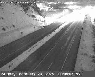
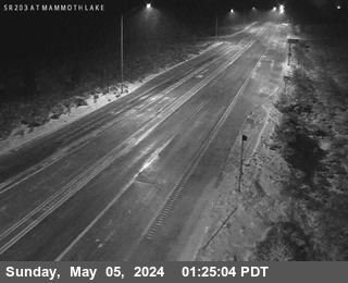
Webcams near Mount Starr
Towns near Mount Starr
- Mammoth Lakes29 km away