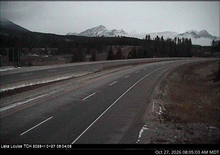
Mountains in Canada
Mount Tuzo
3,246 m10,650 ft
Mountain · Bow Range · Canada
Mount Tuzo is a mountain located within the Valley of the Ten Peaks in the Canadian Rockies, along the Continental Divide, which forms the provincial boundary between British Columbia and Alberta in Western Canada. It also lies on the boundary shared by Banff National Park and Kootenay National Park.
From Wikipedia, CC BY-SA · Read the article
At the summit · forecast for 9:00 PM
-8 °CCloudy · wind 3 km/h from the W
 See it in 3D
Weather at the summit of Mount Tuzo, 3,246 m
- 9:00 PM-8 °CW 3 km/h–
- 12:00 AM-9 °CW 1 km/h–
- 3:00 AM-11 °CW 3 km/h–
- 6:00 AM-10 °CW 3 km/h0.4 mm
- 9:00 AM-10 °CW 3 km/h0.5 mm
- 12:00 PM-8 °CW 4 km/h–
- 3:00 PM-7 °CW 6 km/h–
- 6:00 PM-9 °CW 4 km/h–
| Day | Sky | High / low | Rain | Wind up to |
|---|---|---|---|---|
| Tue, Oct 27 | Cloudy | -7 °C / -11 °C | 0.9 mm | 6 km/h |
| Wed, Oct 28 | Snow | -10 °C / -14 °C | 10.1 mm | 8 km/h |
| Thu, Oct 29 | Cloudy | -13 °C / -16 °C | 0.6 mm | 5 km/h |
| Fri, Oct 30 | Partly cloudy | -11 °C / -21 °C | 0.3 mm | 3 km/h |
| Sat, Oct 31 | Cloudy | -12 °C / -16 °C | 0.3 mm | 4 km/h |
| Sun, Nov 1 | Cloudy | -12 °C / -20 °C | – | 5 km/h |
| Mon, Nov 2 | Mostly clear | -10 °C / -20 °C | – | 3 km/h |
Forecast by MET Norway (CC BY 4.0), updated 07:17 PM MDT. Times are local.
Facts
- What it is
- Mountain
- Height above sea level
- 3,246 m (10,650 ft)
- Prominence
- 210 m (689 ft)
- Range
- Bow Range
- Country
- Canada
- First ascent
- 1906
- Coordinates
- 51.302°N 116.228°W
- Source
- Wikidata, CC0
Peaks near Mount Tuzo
- Mount Allen3,310 m · 1.2 km awayOn the map
- Deltaform Mountain3,424 m · 1.2 km awayOn the map
- Neptuak Mountain3,241 m · 2.2 km awayOn the map
- Mount Little3,134 m · 3.2 km awayOn the map
- Mount Babel3,103 m · 4.5 km awayOn the map
- Mount Fay3,235 m · 4.6 km awayOn the map
- Mount Hungabee3,492 m · 5.2 km awayOn the map
- Mount Temple3,543 m · 5.6 km awayOn the map
- Mount Biddle3,320 m · 6 km awayOn the map
- Ringrose Peak3,292 m · 6.3 km awayOn the map
Highest in the Bow Range
- Mount Temple3,543 mOn the map
- Mount Hungabee3,492 mOn the map
- Mount Victoria3,464 mOn the map
- Deltaform Mountain3,424 mOn the map
- Mount Lefroy3,423 mOn the map
- Mount Biddle3,320 mOn the map
- Mount Tuzo3,246 mOn the map
- Mount Fay3,235 mOn the map
- Mount Aberdeen3,152 mOn the map
Highest mountains in Canada
- Mount Logan5,959 mOn the map
- Mount Saint Elias18,009 ftOn the map
- Mount Lucania5,240 mOn the map
- King Peak5,173 mOn the map
- Mount Steele5,073 mOn the map
- Mount Wood4,850 mOn the map
- Mount Vancouver15,787 ftOn the map
- Mount Slaggard4,742 mOn the map
- Mount Macaulay4,700 mOn the map
- Mount Fairweather15,325 ftOn the map