Mount Victoria
196 m643 ft
Hill · New Zealand
Mount Victoria, also known as Matairangi and colloquially as Mt Vic, is a prominent 196-metre (643 ft) hill immediately to the east of central Wellington, New Zealand. Mount Victoria gives its name to the suburb of Mount Victoria on its west.
From Wikipedia, CC BY-SA · Read the article
At the summit · forecast for 10:00 PM
12 °CPartly cloudy · wind 42 km/h from the NW
 See it in 3D
Weather at the summit of Mount Victoria, 196 m
- 10:00 PM12 °CNW 42 km/h–
- 1:00 AM11 °CNW 37 km/h–
- 4:00 AM10 °CW 35 km/h–
- 7:00 AM10 °CNW 35 km/h0.5 mm
- 10:00 AM11 °CNW 38 km/h0.7 mm
- 1:00 PM15 °CNW 34 km/h0.2 mm
- 4:00 PM13 °CS 26 km/h–
- 7:00 PM11 °CS 41 km/h0.6 mm
| Day | Sky | High / low | Rain | Wind up to |
|---|---|---|---|---|
| Fri, Oct 30 | Clear | 16 °C / 9 °C | 2.3 mm | 50 km/h |
| Sat, Oct 31 | Clear | 12 °C / 8 °C | – | 42 km/h |
| Sun, Nov 1 | Mostly clear | 14 °C / 10 °C | – | 56 km/h |
| Mon, Nov 2 | Partly cloudy | 15 °C / 13 °C | – | 41 km/h |
| Tue, Nov 3 | Partly cloudy | 16 °C / 14 °C | 0.2 mm | 32 km/h |
| Wed, Nov 4 | Partly cloudy | 17 °C / 14 °C | 0.1 mm | 30 km/h |
| Thu, Nov 5 | Rain | 16 °C / 14 °C | 6 mm | 29 km/h |
Forecast by MET Norway (CC BY 4.0), updated 09:20 PM GMT+13. Times are local.
Facts
- What it is
- Hill
- Height above sea level
- 196 m (643 ft)
- Country
- New Zealand
- Coordinates
- 41.296°S 174.796°E
- Source
- Wikidata, CC0
Mount Victoria (Wellington hill)
Hill in Wellington, New Zealand
Mount Victoria, also known as Matairangi and colloquially as Mt Vic, is a prominent 196-metre (643 ft) hill immediately to the east of central Wellington, New Zealand. Mount Victoria gives its name to the suburb of Mount Victoria on its west. The suburbs of Oriental Bay to the north, Roseneath and Hataitai to the east and Newtown to the south border Mount Victoria and climb its slopes.
From Wikipedia, CC BY-SA · Read the article
Peaks near Mount Victoria
- Mount Kaukau445 m · 7.3 km awayOn the map
- Rangituhi / Colonial Knob459 m · 16 km awayOn the map
- Mount Matthews941 m · 19 km awayOn the map
- Mount Hector1,529 m · 56 km awayOn the map
- Mount CrawfordHill · 2.7 km awayOn the map
- Te Ahumairangi HillHill · 3.9 km awayOn the map
Highest mountains in New Zealand
- Aoraki / Mount Cook3,724 mOn the map
- Mount Tasman3,497 mOn the map
- Malte-Brun3,199 mOn the map
- Mount Sefton3,151 mOn the map
- Mount Elie De Beaumont3,109 mOn the map
- La Perouse3,078 mOn the map
- Douglas Peak3,077 mOn the map
- The Minarets3,040 mOn the map
- Mount Aspiring / Tititea3,033 mOn the map
- Mount Hamilton3,025 mOn the map
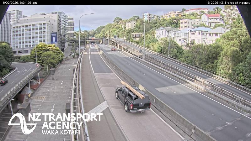
Webcams near Mount Victoria


History around Mount Victoria
- Trans-Pacific Partnership2016
- Battle of Huamachuco1883
- Earthquake — New Zealand: Wellington,Waiouru,Wanganui,Otaki1855
- Battle of Manners Street1943
- Protests in Wellington start outside Parliament, and develop into an "occupation", which lasts until 2 March when police moved in2022
- Wellington Convention1989
- The New Zealand Industrial Exhibition opens in Wellington1885
Towns near Mount Victoria
- Wellington2 km away
- Karori4.8 km away
- Wainuiomata13 km away
- Lower Hutt13 km away
- Porirua19 km away
- Upper Hutt28 km away