Mount Wellington
Mountain · United States
Mount Wellington is a mountain located in the Central New York Region of New York. It is located south of the Hamlet of Springfield Center at the northern end of Otsego Lake. Mount Wellington rises 600 feet (180 m) above lake level.
From Wikipedia, CC BY-SA · Read the article
At the summit · forecast for 9:00 AM
48 °FClear · wind 13 mph from the SW
 See it in 3D
Mount Wellington weather forecast
- 9:00 AM48 °FSW 13 mph–
- 12:00 PM59 °FSW 13 mph–
- 3:00 PM65 °FSW 12 mph–
- 6:00 PM59 °FSW 11 mph–
- 9:00 PM56 °FSW 16 mph–
- 12:00 AM55 °FSW 13 mph0 in
- 3:00 AM55 °FW 10 mph0.04 in
- 6:00 AM50 °FNW 14 mph–
| Day | Sky | High / low | Rain | Wind up to |
|---|---|---|---|---|
| Today | Clear | 65 °F / 48 °F | – | 16 mph |
| Fri, Oct 30 | Cloudy | 56 °F / 43 °F | 0.05 in | 19 mph |
| Sat, Oct 31 | Cloudy | 46 °F / 37 °F | – | 11 mph |
| Sun, Nov 1 | Clear | 56 °F / 35 °F | – | 7 mph |
| Mon, Nov 2 | Clear | 57 °F / 35 °F | – | 6 mph |
| Tue, Nov 3 | Cloudy | 67 °F / 45 °F | – | 17 mph |
| Wed, Nov 4 | Partly cloudy | 61 °F / 52 °F | 0.07 in | 17 mph |
Forecast by MET Norway (CC BY 4.0), updated 03:18 AM EDT. Times are local.
Facts
- What it is
- Mountain
- Country
- United States
- Coordinates
- 42.805°N 74.873°W
- Source
- Wikidata, CC0
Mount Wellington (New York)
Mountain located in New York State
Mount Wellington is a mountain located in the Central New York Region of New York. It is located south of the Hamlet of Springfield Center at the northern end of Otsego Lake. Mount Wellington rises 600 feet (180 m) above lake level. The extreme southern point of the mountain is called Clarke Point and also referred to as the Shad Cam.
From Wikipedia, CC BY-SA · Read the article
Peaks near Mount Wellington
- Mount Jefferson2,738 ft · 44 km awayOn the map
- Mount Warren2,890 ft · 56 km awayOn the map
- Irish Mountain3,064 ft · 59 km awayOn the map
- Rum HillMountain · 5.4 km awayOn the map
- Waiontha MountainMountain · 7.5 km awayOn the map
- Mohegan HillMountain · 7.9 km awayOn the map
- Panther MountainMountain · 11 km awayOn the map
- Mount OvisMountain · 11 km awayOn the map
- Cornish HillMountain · 17 km awayOn the map
- Klock HillMountain · 24 km awayOn the map
Highest mountains in United States
- Denali20,308 ftOn the map
- Mount Saint Elias18,009 ftOn the map
- Mount Foraker17,402 ftOn the map
- Mount Bona16,535 ftOn the map
- Mount Blackburn16,390 ftOn the map
- Mount Sanford16,237 ftOn the map
- Mount Vancouver15,787 ftOn the map
- Mount Churchill15,636 ftOn the map
- Mount Fairweather15,325 ftOn the map
- Mount Hubbard14,951 ftOn the map
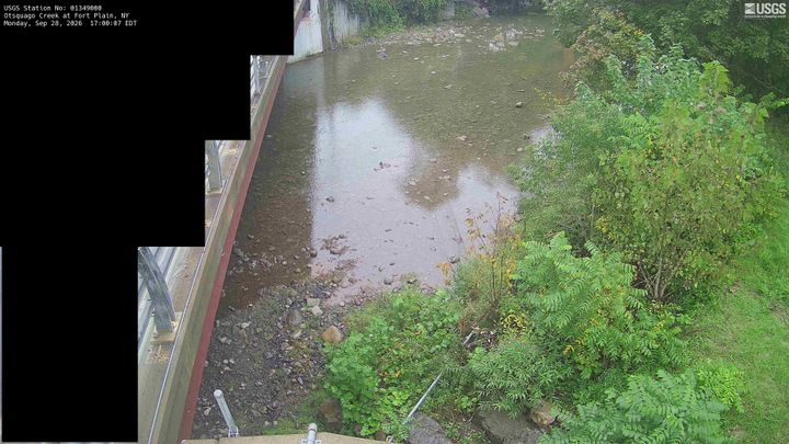
Webcams near Mount Wellington



History around Mount Wellington
Towns near Mount Wellington
- Fort Plain25 km away
- Herkimer27 km away
- St. Johnsville27 km away
- Palatine Bridge27 km away
- Cobleskill35 km away
- Oneonta42 km away