Mountains in Japan
Mount Yōrō
859 m2,818 ft
Mountain · Yoro Mountains · Japan
Mount Yōrō is a mountain located in the cities of Yōrō and Ōgaki, Gifu Prefecture, Japan. Its peak rises 859 m (2,818 ft) and is the main peak in the Yōrō Mountains that stretch through the region. It was previously called Mount Tagi.
From Wikipedia, CC BY-SA · Read the article
At the summit · forecast for 3:00 AM
8 °CMostly clear · wind 20 km/h from the NW
 See it in 3D
Weather at the summit of Mount Yōrō, 859 m
- 3:00 AM8 °CNW 20 km/h–
- 6:00 AM7 °CNW 16 km/h–
- 9:00 AM10 °CNW 16 km/h–
- 12:00 PM12 °CNW 22 km/h–
- 3:00 PM10 °CNW 22 km/h–
- 6:00 PM7 °CNW 17 km/h–
- 9:00 PM4 °CW 14 km/h–
- 12:00 AM3 °CW 11 km/h–
| Day | Sky | High / low | Rain | Wind up to |
|---|---|---|---|---|
| Today | Mostly clear | 12 °C / 4 °C | – | 23 km/h |
| Thu, Oct 29 | Cloudy | 14 °C / -0 °C | – | 15 km/h |
| Fri, Oct 30 | Heavy rain | 11 °C / 9 °C | 12 mm | 8 km/h |
| Sat, Oct 31 | Mostly clear | 14 °C / 8 °C | 1.9 mm | 23 km/h |
| Sun, Nov 1 | Cloudy | 12 °C / 5 °C | – | 9 km/h |
| Mon, Nov 2 | Cloudy | 11 °C / 8 °C | 15.8 mm | 12 km/h |
| Tue, Nov 3 | Cloudy | 15 °C / 7 °C | 0.5 mm | 9 km/h |
Forecast by MET Norway (CC BY 4.0), updated 06:22 PM GMT+9. Times are local.
Facts
- What it is
- Mountain
- Height above sea level
- 859 m (2,818 ft)
- Range
- Yoro Mountains
- Country
- Japan
- Coordinates
- 35.263°N 136.523°E
- Source
- Wikidata, CC0
Peaks near Mount Yōrō
- Mount Oike1,247 m · 14 km awayOn the map
- Mount Ikeda924 m · 20 km awayOn the map
- Mount Ibuki1,377 m · 20 km awayOn the map
- Mount Gozaisho1,212 m · 29 km awayOn the map
- Mount Kinka329 m · 30 km awayOn the map
- Mount Dodo418 m · 34 km awayOn the map
- Mount Komaki86 m · 36 km awayOn the map
- Shizugatake421 m · 40 km awayOn the map
- Owari Fuji275 m · 43 km awayOn the map
- Mount Nasugahara799 m · 48 km awayOn the map
Highest in the Yoro Mountains
- Mount Sho908 mOn the map
- Mount Yōrō859 mOn the map
- Mount Tado403 mOn the map
Highest mountains in Japan
- Mount Fuji3,777 mOn the map
- Mount Kita3,193 mOn the map
- Hotaka Mountains3,190 mOn the map
- Ainodake3,189 mOn the map
- Mount Yari3,180 mOn the map
- Mount Warusawa3,141 mOn the map
- Mount Akaishi3,120 mOn the map
- Mount Ontake3,067 mOn the map
- Mount Shiomi3,047 mOn the map
- Mount Senjō3,033 mOn the map
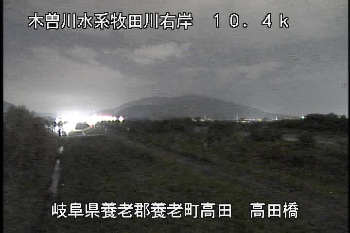
Webcams near Mount Yōrō

History around Mount Yōrō
- Battle of Sekigahara1600
- Battle of Kuisegawa1600
- 岐阜高校教師教え子殺人事件1986
- Bombing of Ōgaki1945
- Siege of Ōgaki Castle1600
- 東濃の戦い1600
- Siege of Takehana1584
- Battle of Moribe1561