Facts
- What it is
- Mountain
- Height above sea level
- 580 m (1,904 ft)
- Country
- Japan
- Coordinates
- 34.233°N 131.179°E
- Source
- Wikidata, CC0
Peaks near 雁飛山
- Kasayama112 m · 32 km awayOn the map
- Abu641 m · 49 km awayOn the map
- Mount Sarakura622 m · 56 km awayOn the map
- 堂ヶ岳588 m · 4.8 km awayOn the map
- Mount Hanao669 m · 6.8 km awayOn the map
- Ryūgo Bō426 m · 9.3 km awayOn the map
- 桜山 (山口県)456 m · 9.9 km awayOn the map
- 如意ヶ岳545 m · 10 km awayOn the map
- 一位岳672 m · 12 km awayOn the map
- 日ノ岳459 m · 13 km awayOn the map
Highest mountains in Japan
- Mount Fuji3,777 mOn the map
- Mount Kita3,193 mOn the map
- Hotaka Mountains3,190 mOn the map
- Ainodake3,189 mOn the map
- Mount Yari3,180 mOn the map
- Mount Warusawa3,141 mOn the map
- Mount Akaishi3,120 mOn the map
- Mount Ontake3,067 mOn the map
- Mount Shiomi3,047 mOn the map
- Mount Senjō3,033 mOn the map
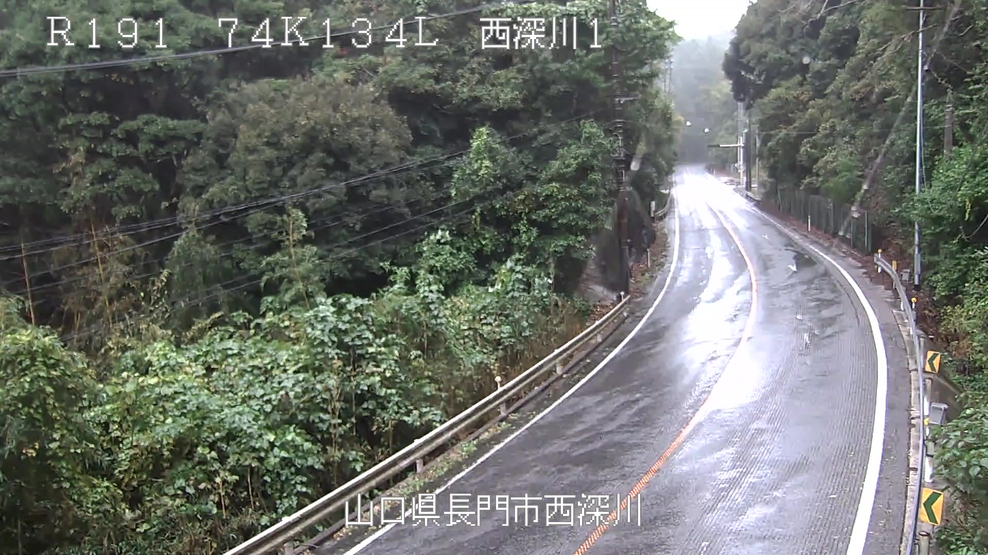
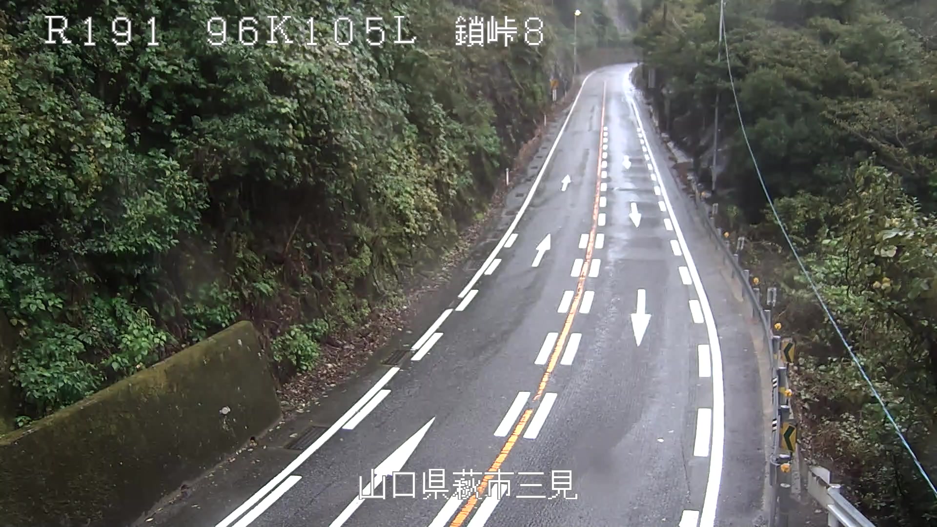
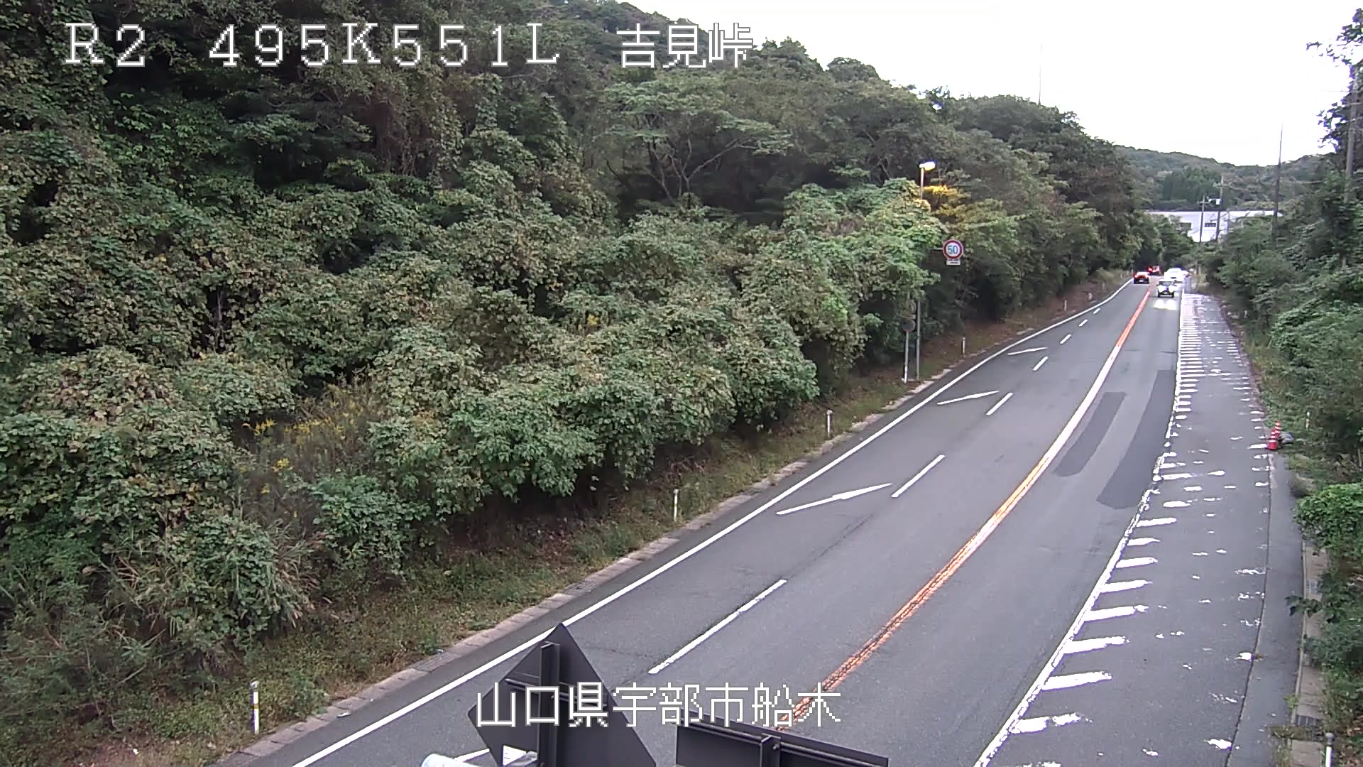
Webcams near 雁飛山
History around 雁飛山
Towns near 雁飛山
- Mine6.2 km away
- Nagato17 km away
- Sanyōonoda22 km away
- Ogōri-shimogō25 km away
- Onoda26 km away
- Yamaguchi27 km away