Mountains in Czechia
See it in 3Dmountain-12043742
839 m2,753 ft
Mountain · Šumavské podhůří · Czechia
At the summit · forecast for 8:00 PM
7 °CRain · wind 14 km/h from the NW
Weather at the summit of mountain-12043742, 839 m
- 8:00 PM7 °CNW 14 km/h1.1 mm
- 11:00 PM6 °CNW 14 km/h0.2 mm
- 2:00 AM6 °CNW 12 km/h–
- 5:00 AM5 °CNW 12 km/h–
- 8:00 AM5 °CN 8 km/h–
- 11:00 AM6 °CN 9 km/h–
- 2:00 PM8 °CN 8 km/h–
- 5:00 PM4 °CNW 6 km/h–
| Day | Sky | High / low | Rain | Wind up to |
|---|---|---|---|---|
| Thu, Oct 29 | Partly cloudy | 8 °C / 2 °C | – | 13 km/h |
| Fri, Oct 30 | Cloudy | 6 °C / 1 °C | – | 12 km/h |
| Sat, Oct 31 | Light rain | 4 °C / 3 °C | 2.1 mm | 10 km/h |
| Sun, Nov 1 | Rain | 3 °C / 2 °C | 6.7 mm | 14 km/h |
| Mon, Nov 2 | Cloudy | 3 °C / 1 °C | 0.9 mm | 10 km/h |
| Tue, Nov 3 | Sleet | 2 °C / 0 °C | 3.6 mm | 13 km/h |
| Wed, Nov 4 | Cloudy | 3 °C / 1 °C | 0.4 mm | 13 km/h |
Forecast by MET Norway (CC BY 4.0), updated 02:17 PM GMT+1. Times are local.
Facts
- What it is
- Mountain
- Height above sea level
- 839 m (2,753 ft)
- Range
- Šumavské podhůří
- Country
- Czechia
- Coordinates
- 48.966°N 13.928°E
- Source
- Wikidata, CC0
Peaks near mountain-12043742
- Boubín1,362 m · 8.5 km awayOn the map
- Dreisesselberg1,333 m · 22 km awayOn the map
- Plechý / Plöckenstein1,379 m · 22 km awayOn the map
- Almberg1,139 m · 23 km awayOn the map
- Bayerischer Plöckenstein1,362 m · 23 km awayOn the map
- Alzenberg1,101 m · 23 km awayOn the map
- Haidel1,166 m · 25 km awayOn the map
- Grandelberg1,110 m · 25 km awayOn the map
- Hochficht1,338 m · 26 km awayOn the map
- Siebensteinkopf1,263 m · 26 km awayOn the map
Highest in the Šumavské podhůří
- mountain-12043742839 mOn the map
- mountain-56649914806 mOn the map
- Vysoká Běta804 mOn the map
- hill-15951646798 mOn the map
- hill-74346185701 mOn the map
- Šibeniční vrch681 mOn the map
- mountain-26258824610 mOn the map
- hill-73586446578 mOn the map
- hill-15735164548 mOn the map
Highest mountains in Czechia
- Sněžka1,603 mOn the map
- Wielki Szyszak1,510 mOn the map
- Praděd1,491 mOn the map
- Smogornia1,490 mOn the map
- Mały Szyszak1,440 mOn the map
- Keprník1,423 mOn the map
- Králický Sněžník1,423 mOn the map
- Plechý / Plöckenstein1,379 mOn the map
- Bayerischer Plöckenstein1,362 mOn the map
- Boubín1,362 mOn the map
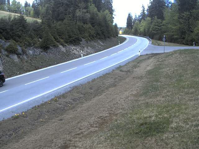
Webcams near mountain-12043742


History around mountain-12043742
Towns near mountain-12043742
- Strakonice33 km away
- České Budějovice40 km away
- Písek41 km away
- Passau57 km away
- Vilshofen66 km away
- Klatovy66 km away