Ōkataina Caldera
Volcano · New Zealand
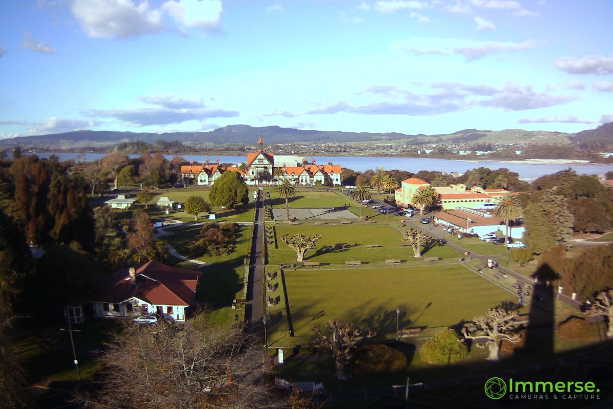
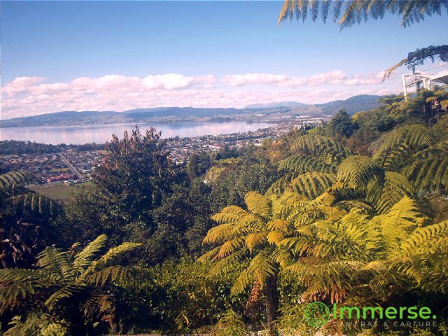
Ōkataina Caldera is a volcanic caldera and its associated volcanoes located in Taupō Volcanic Zone of New Zealand's North Island. It has several actual or postulated sub calderas.
From Wikipedia, CC BY-SA · Read the article
At the summit · forecast for 8:00 AM
9 °CClear · wind 18 km/h from the SW
 See it in 3D
Ōkataina Caldera weather forecast
- 8:00 AM9 °CSW 18 km/h–
- 11:00 AM13 °CSW 17 km/h–
- 2:00 PM14 °CW 19 km/h–
- 5:00 PM13 °CW 21 km/h–
- 8:00 PM10 °CW 18 km/h–
- 11:00 PM9 °CW 17 km/h–
- 2:00 AM8 °CW 18 km/h–
- 5:00 AM8 °CW 15 km/h–
| Day | Sky | High / low | Rain | Wind up to |
|---|---|---|---|---|
| Today | Cloudy | 14 °C / 9 °C | – | 22 km/h |
| Thu, Oct 29 | Rain | 14 °C / 8 °C | 3.6 mm | 32 km/h |
| Fri, Oct 30 | Light rain | 14 °C / 6 °C | 0.4 mm | 35 km/h |
| Sat, Oct 31 | Partly cloudy | 13 °C / 7 °C | – | 17 km/h |
| Sun, Nov 1 | Cloudy | 12 °C / 7 °C | 1.2 mm | 15 km/h |
| Mon, Nov 2 | Cloudy | 14 °C / 8 °C | 0.6 mm | 19 km/h |
| Tue, Nov 3 | Light rain | 15 °C / 10 °C | 2.3 mm | 14 km/h |
Forecast by MET Norway (CC BY 4.0), updated 06:17 AM GMT+13. Times are local.
Facts
- What it is
- Volcano
- Country
- New Zealand
- Coordinates
- 38.120°S 176.500°E
- Volcano number
- 241050 at the Global Volcanism Program
- Source
- Wikidata, CC0
Ōkataina Caldera
Volcanic caldera in New Zealand
Ōkataina Caldera is a volcanic caldera and its associated volcanoes located in Taupō Volcanic Zone of New Zealand's North Island. It has several actual or postulated sub calderas. The Ōkataina Caldera is just east of the smaller separate Rotorua Caldera and southwest of the much smaller Rotomā Embayment, which is usually regarded as an associated volcano.
From Wikipedia, CC BY-SA · Read the article
32 recorded eruptions
- Eruption in 2015
- Eruption in 2013
- Eruption in 1981
- Eruption in 1978
- Eruption in 1973
- Eruption in 1951
- Eruption in 1926
- Eruption in 1924
- Eruption in 1918
- Eruption in 1917
- Eruption in 1915
- Eruption in 1915
The latest 12 of 32, from the Smithsonian’s Global Volcanism Program through History.
Peaks near Ōkataina Caldera
- Mount Tarawera1,111 m · 12 km awayOn the map
- Pūtauaki821 m · 21 km awayOn the map
- Maunga Kākaramea743 m · 24 km awayOn the map
- Reporoa caldera592 m · 36 km awayOn the map
- MaungaongaongaMountain · 27 km awayOn the map
- MaroaVolcano · 50 km awayOn the map
Highest mountains in New Zealand
- Aoraki / Mount Cook3,724 mOn the map
- Mount Tasman3,497 mOn the map
- Malte-Brun3,199 mOn the map
- Mount Sefton3,151 mOn the map
- Mount Elie De Beaumont3,109 mOn the map
- La Perouse3,078 mOn the map
- Douglas Peak3,077 mOn the map
- The Minarets3,040 mOn the map
- Mount Aspiring / Tititea3,033 mOn the map
- Mount Hamilton3,025 mOn the map