Mountains in United States
Otay Mountain
3,491 ft1,064 m
Mountain · San Ysidro Mountains · United States
 See it in 3D
Facts
- What it is
- Mountain
- Height above sea level
- 3,491 ft (1,064 m)
- Range
- San Ysidro Mountains
- Country
- United States
- Coordinates
- 32.595°N 116.845°W
- Source
- Wikidata, CC0
Peaks near Otay Mountain
- San Miguel Mountain2,566 ft · 14 km awayOn the map
- Lyons Peak3,642 ft · 14 km awayOn the map
- Tecate Peak3,883 ft · 15 km awayOn the map
- McGinty Mountain2,182 ft · 18 km awayOn the map
- Cowles Mountain1,594 ft · 30 km awayOn the map
- Viejas Mountain4,189 ft · 32 km awayOn the map
- Chiquito Peak4,167 ft · 34 km awayOn the map
- North Fortuna Mountain1,291 ft · 35 km awayOn the map
- El Cajon Mountain3,648 ft · 36 km awayOn the map
- Oakzanita Peak5,056 ft · 42 km awayOn the map
Highest mountains in United States
- Denali20,308 ftOn the map
- Mount Saint Elias18,009 ftOn the map
- Mount Foraker17,402 ftOn the map
- Mount Bona16,535 ftOn the map
- Mount Blackburn16,390 ftOn the map
- Mount Sanford16,237 ftOn the map
- Mount Vancouver15,787 ftOn the map
- Mount Churchill15,636 ftOn the map
- Mount Fairweather15,325 ftOn the map
- Mount Hubbard14,951 ftOn the map
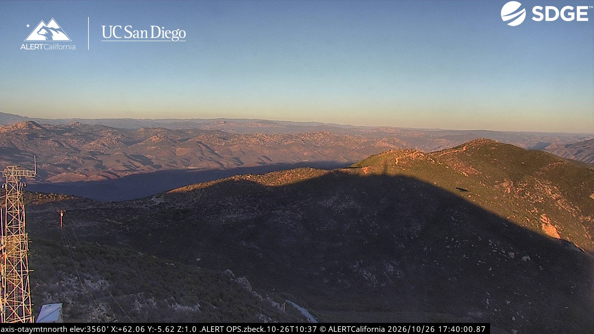
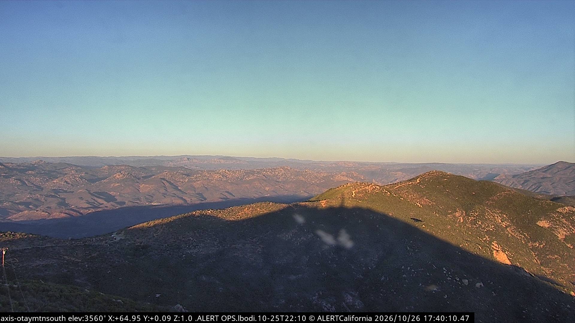
Webcams near Otay Mountain

History around Otay Mountain
Towns near Otay Mountain
- Terrazas del Valle12 km away
- Tijuana18 km away
- Rancho San Diego19 km away
- La Presa19 km away
- Tecate20 km away
- Spring Valley22 km away