Mountains in United States
See it in 3DPeak 9980
Mountain · United States
Peak 9980 is a mountain in the Sierra Nevada of Tulare County, California.
From Wikipedia, CC BY-SA · Read the article
Facts
- What it is
- Mountain
- Country
- United States
- Coordinates
- 35.932°N 118.331°W
- Source
- Wikidata, CC0
Peaks near Peak 9980
- Sirretta Peak9,982 ft · 0.8 km awayOn the map
- Sentinel Peak6,143 ft · 20 km awayOn the map
- The Needles8,258 ft · 24 km awayOn the map
- Owens Peak8,452 ft · 37 km awayOn the map
- Olancha Peak12,132 ft · 42 km awayOn the map
- Kern Peak11,510 ft · 42 km awayOn the map
- Brown Peak8,095 ft · 50 km awayOn the map
- Florence Peak12,437 ft · 56 km awayOn the map
- Vandever Mountain11,929 ft · 57 km awayOn the map
Highest mountains in United States
- Denali20,308 ftOn the map
- Mount Saint Elias18,009 ftOn the map
- Mount Foraker17,402 ftOn the map
- Mount Bona16,535 ftOn the map
- Mount Blackburn16,390 ftOn the map
- Mount Sanford16,237 ftOn the map
- Mount Vancouver15,787 ftOn the map
- Mount Churchill15,636 ftOn the map
- Mount Fairweather15,325 ftOn the map
- Mount Hubbard14,951 ftOn the map
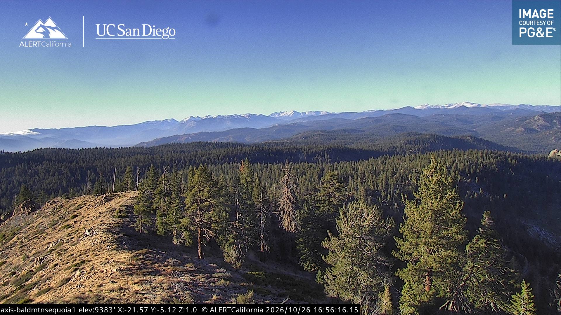
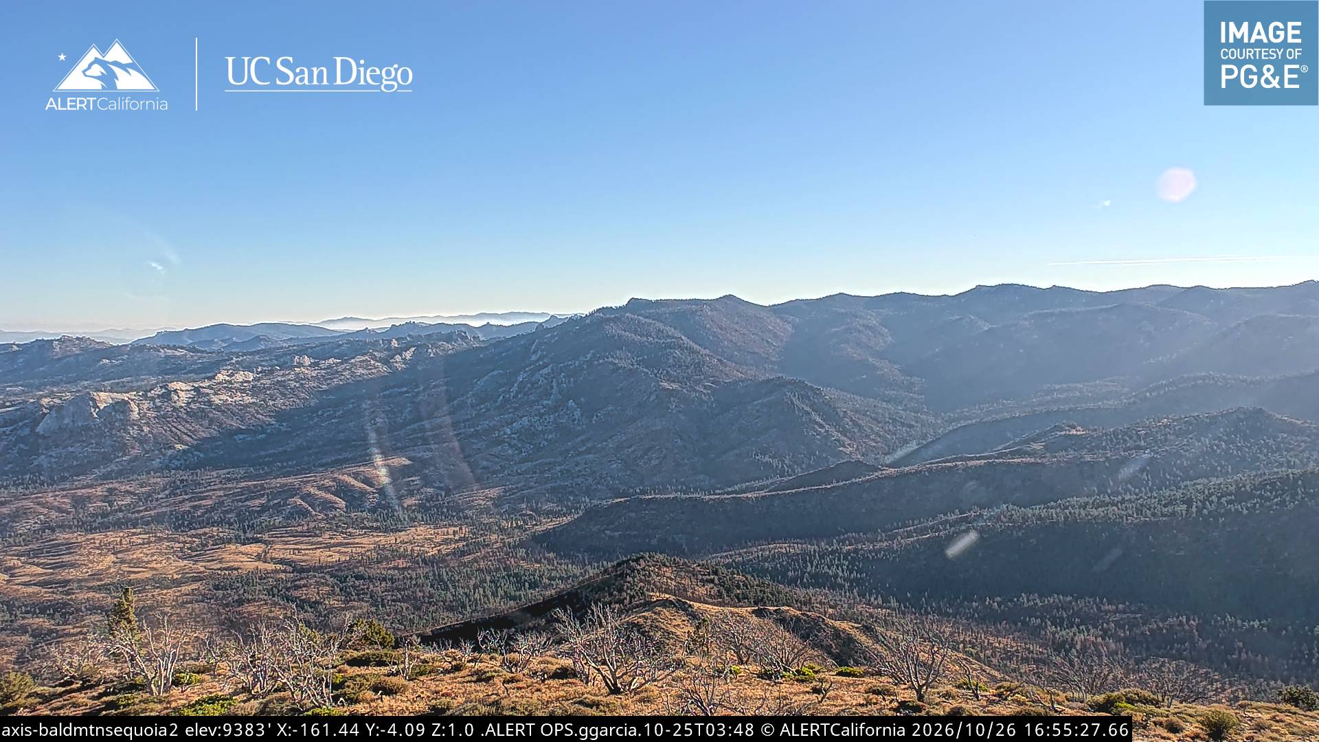
Webcams near Peak 9980
History around Peak 9980
- Schaeffer Fire2017
Towns near Peak 9980
- Porterville63 km away
- Ridgecrest69 km away
- Lindsay75 km away