Polly Dome
9,806 ft2,989 m
Hill · Sierra Nevada · United States
Polly Dome is a prominent granite dome rising 1,640 feet (500 m) above the northwest side of Tenaya Lake and Tioga Road in the Yosemite high country. The dome, more than 3 kilometers long, is a substantially intact mass of granitic rock that has withstood heavy glaciation and exfoliation.
From Wikipedia, CC BY-SA · Read the article
At the summit · forecast for 10:00 PM
26 °FClear · wind 4 mph from the E
 See it in 3D
Weather at the summit of Polly Dome, 9,806 ft
- 10:00 PM26 °FE 4 mph–
- 1:00 AM24 °FE 4 mph–
- 4:00 AM23 °FE 5 mph–
- 7:00 AM23 °FE 4 mph–
- 10:00 AM40 °FS 6 mph–
- 1:00 PM44 °FW 9 mph–
- 4:00 PM42 °FW 5 mph–
- 7:00 PM29 °FE 3 mph–
| Day | Sky | High / low | Rain | Wind up to |
|---|---|---|---|---|
| Wed, Oct 28 | Mostly clear | 44 °F / 23 °F | – | 10 mph |
| Thu, Oct 29 | Cloudy | 41 °F / 24 °F | – | 14 mph |
| Fri, Oct 30 | Sleet | 33 °F / 24 °F | 0.12 in | 10 mph |
| Sat, Oct 31 | Heavy snow | 32 °F / 25 °F | 0.53 in | 6 mph |
| Sun, Nov 1 | Clear | 30 °F / 18 °F | 0.02 in | 9 mph |
| Mon, Nov 2 | Mostly clear | 47 °F / 20 °F | – | 8 mph |
| Tue, Nov 3 | Cloudy | 54 °F / 22 °F | – | 6 mph |
Forecast by MET Norway (CC BY 4.0), updated 06:17 PM PDT. Times are local.
Facts
- What it is
- Hill
- Height above sea level
- 9,806 ft (2,989 m)
- Prominence
- 1,086 ft (331 m)
- Range
- Sierra Nevada
- Country
- United States
- Coordinates
- 37.854°N 119.450°W
- Source
- Wikidata, CC0
Polly Dome
Granite dome in Yosemite National Park, USA
Polly Dome is a prominent granite dome rising 1,640 feet (500 m) above the northwest side of Tenaya Lake and Tioga Road in the Yosemite high country. The dome, more than 3 kilometers long, is a substantially intact mass of granitic rock that has withstood heavy glaciation and exfoliation. Forest clings to the less-steep parts of its north and west slopes.
From Wikipedia, CC BY-SA · Read the article
Peaks near Polly Dome
- Pywiack Dome8,852 ft · 1.1 km awayOn the map
- Medlicott Dome9,885 ft · 2.3 km awayOn the map
- Tenaya Peak10,306 ft · 2.9 km awayOn the map
- Tresidder Peak10,600 ft · 3.7 km awayOn the map
- Cathedral Peak10,912 ft · 4 km awayOn the map
- Doda Dome8,907 ft · 4.4 km awayOn the map
- Daff Dome9,158 ft · 4.4 km awayOn the map
- Fairview Dome9,728 ft · 4.5 km awayOn the map
- Mount Hoffmann10,855 ft · 5.4 km awayOn the map
- Unicorn Peak10,828 ft · 6 km awayOn the map
Peaks below Polly Dome
- Stately Pleasure Dome9,040 ftOn the map
Highest in the Sierra Nevada
- Mount Whitney14,505 ftOn the map
- Mount Williamson14,403 ftOn the map
- Mount Russell14,094 ftOn the map
- Mount Langley14,032 ftOn the map
- Mount Tyndall14,025 ftOn the map
- Mount Humphreys13,992 ftOn the map
- Mount Keith13,982 ftOn the map
- Mount LeConte13,936 ftOn the map
- Polly Dome9,806 ftOn the map
Highest mountains in United States
- Denali20,308 ftOn the map
- Mount Saint Elias18,009 ftOn the map
- Mount Foraker17,402 ftOn the map
- Mount Bona16,535 ftOn the map
- Mount Blackburn16,390 ftOn the map
- Mount Sanford16,237 ftOn the map
- Mount Vancouver15,787 ftOn the map
- Mount Churchill15,636 ftOn the map
- Mount Fairweather15,325 ftOn the map
- Mount Hubbard14,951 ftOn the map
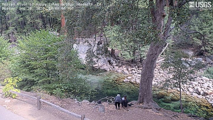
Webcams near Polly Dome

History around Polly Dome
- Pika Fire2023
- Meadow Fire2014
Towns near Polly Dome
- Mammoth Lakes48 km away