 See it in 3D

Facts
- What it is
- Mountain
- Height above sea level
- 12,504 ft (3,811 m)
- Prominence
- 721 ft (220 m)
- Range
- Front Range
- Country
- United States
- Coordinates
- 39.691°N 106.026°W
- Source
- Wikidata, CC0
Peaks near Ptarmigan Peak
- Tenderfoot Mountain11,443 ft · 6.4 km awayOn the map
- Porcupine Peak11,798 ft · 14 km awayOn the map
- Grizzly Peak13,433 ft · 16 km awayOn the map
- Lenawee Mountain13,186 ft · 16 km awayOn the map
- Torreys Peak14,268 ft · 18 km awayOn the map
- Grays Peak14,272 ft · 19 km awayOn the map
- Cooper Mountain12,782 ft · 19 km awayOn the map
- Bard Peak13,647 ft · 19 km awayOn the map
- Engelmann Peak13,368 ft · 20 km awayOn the map
- Mount Edwards13,856 ft · 21 km awayOn the map
Highest in the Front Range
- Grays Peak14,272 ftOn the map
- Mount Blue Sky14,265 ftOn the map
- Longs Peak14,255 ftOn the map
- Pikes Peak14,114 ftOn the map
- Mount Bierstadt14,062 ftOn the map
- Mount Silverheels13,829 ftOn the map
- Bard Peak13,647 ftOn the map
- North Arapaho Peak13,508 ftOn the map
- Ptarmigan Peak12,504 ftOn the map
Highest mountains in United States
- Denali20,308 ftOn the map
- Mount Saint Elias18,009 ftOn the map
- Mount Foraker17,402 ftOn the map
- Mount Bona16,535 ftOn the map
- Mount Blackburn16,390 ftOn the map
- Mount Sanford16,237 ftOn the map
- Mount Vancouver15,787 ftOn the map
- Mount Churchill15,636 ftOn the map
- Mount Fairweather15,325 ftOn the map
- Mount Hubbard14,951 ftOn the map
Webcams near Ptarmigan Peak
 I-70 MP 216.60 EB : 0.4 miles E of US 6 Loveland Pass 312 km from the summit
 I-70 MP 216.60 EB : 0.4 miles E of US 6 Loveland Pass 412 km from the summit
 I-70 MP 216.60 EB : 0.4 miles E of US 6 Loveland Pass 212 km from the summit
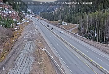 I-70 MP 185.60 WB : 4.2 miles W of Vail Pass Summit22 km from the summit
History around Ptarmigan Peak
Towns near Ptarmigan Peak
- Silverthorne6.4 km away
- Dillon7.4 km away
- Breckenridge21 km away
- Blue River27 km away
- Georgetown29 km away
- Vail29 km away