Mountains in United States
Rock Creek Butte
9,088 ft2,770 m
Mountain · Elkhorn Mountains · United States
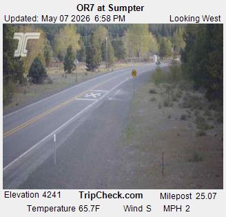
Rock Creek Butte is a 9,106-foot (2,776 m) summit in Baker County, Oregon, in the United States. It is located in the Wallowa–Whitman National Forest, about 10 miles (16 km) northeast of Sumpter.
From Wikipedia, CC BY-SA · Read the article
At the summit · forecast for 2:00 PM
29 °FPartly cloudy · wind 9 mph from the SW
 See it in 3D
Weather at the summit of Rock Creek Butte, 9,088 ft
- 2:00 PM29 °FSW 9 mph–
- 5:00 PM25 °FSW 4 mph–
- 8:00 PM19 °FW 4 mph–
- 11:00 PM18 °FW 2 mph–
- 2:00 AM20 °FSW 3 mph–
- 5:00 AM20 °FSW 3 mph–
- 8:00 AM21 °FSW 4 mph–
- 11:00 AM29 °FS 6 mph–
| Day | Sky | High / low | Rain | Wind up to |
|---|---|---|---|---|
| Thu, Oct 29 | Partly cloudy | 33 °F / 18 °F | – | 7 mph |
| Fri, Oct 30 | Partly cloudy | 35 °F / 23 °F | – | 6 mph |
| Sat, Oct 31 | Cloudy | 30 °F / 24 °F | 0.19 in | 4 mph |
| Sun, Nov 1 | Cloudy | 22 °F / 13 °F | 0.11 in | 6 mph |
| Mon, Nov 2 | Clear | 33 °F / 16 °F | – | 3 mph |
| Tue, Nov 3 | Cloudy | 33 °F / 23 °F | – | 2 mph |
| Wed, Nov 4 | Partly cloudy | 37 °F / 27 °F | – | 3 mph |
Forecast by MET Norway (CC BY 4.0), updated 10:20 AM PDT. Times are local.
Facts
- What it is
- Mountain
- Height above sea level
- 9,088 ft (2,770 m)
- Prominence
- 4,466 ft (1,361 m)
- Range
- Elkhorn Mountains
- Country
- United States
- Coordinates
- 44.817°N 118.104°W
- Source
- Wikidata, CC0
Peaks near Rock Creek Butte
- Mount Ireland8,325 ft · 17 km awayOn the map
- Vinegar Hill8,084 ft · 38 km awayOn the map
- Sawtooth CraterMountain · 48 km awayOn the map
Highest mountains in United States
- Denali20,308 ftOn the map
- Mount Saint Elias18,009 ftOn the map
- Mount Foraker17,402 ftOn the map
- Mount Bona16,535 ftOn the map
- Mount Blackburn16,390 ftOn the map
- Mount Sanford16,237 ftOn the map
- Mount Vancouver15,787 ftOn the map
- Mount Churchill15,636 ftOn the map
- Mount Fairweather15,325 ftOn the map
- Mount Hubbard14,951 ftOn the map