 See it in 3D
Facts
- What it is
- Mountain
- Height above sea level
- 1,550 m (5,085 ft)
- Prominence
- 410 m (1,345 ft)
- Range
- Romsdalsalpene
- Country
- Norway
- Coordinates
- 62.491°N 7.786°E
- Source
- Wikidata, CC0
Peaks near Romsdalshornet
- Trollryggen1,725 m · 3.1 km awayOn the map
- Store Venjetinden1,852 m · 3.3 km awayOn the map
- Store Trolltind1,788 m · 3.5 km awayOn the map
- Bispen1,462 m · 7.7 km awayOn the map
- Dønttinden1,676 m · 12 km awayOn the map
- Kyrkjetaket1,439 m · 15 km awayOn the map
- Juratinden1,712 m · 16 km awayOn the map
- Kleneggen1,964 m · 24 km awayOn the map
- Fløtatinden1,711 m · 26 km awayOn the map
- Skjorta1,712 m · 29 km awayOn the map
Highest in the Romsdalsalpene
- Store Venjetinden1,852 mOn the map
- Store Trolltind1,788 mOn the map
- Dønttinden1,676 mOn the map
- Romsdalshornet1,550 mOn the map
Highest mountains in Norway
- Galdhøpiggen2,469 mOn the map
- Glittertind2,464 mOn the map
- Store Skagastølstind2,406 mOn the map
- Surtningssue2,368 mOn the map
- Store Memurutinden2,365 mOn the map
- Store Hellstugutinden2,346 mOn the map
- Store Knutsholstinden2,339 mOn the map
- Tjørnholstind2,323 mOn the map
- Bukkehøe2,314 mOn the map
- Dovrefjell2,286 mOn the map
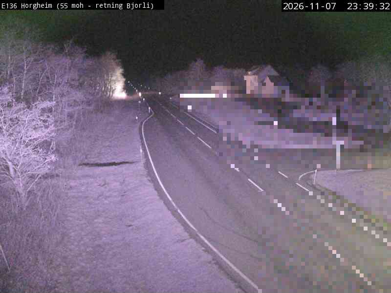
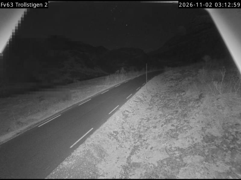
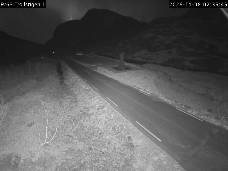
Webcams near Romsdalshornet


History around Romsdalshornet
Towns near Romsdalshornet
- Molde42 km away
- Kristiansund69 km away