Facts
- What it is
- Mountain
- Height above sea level
- 2,591 m (8,501 ft)
- Range
- Schladming Tauern
- Country
- Austria
- Coordinates
- 47.240°N 14.001°E
- Source
- Wikidata, CC0
Peaks near Rupprechtseck
- Rettlkirchspitze2,475 m · 9.8 km awayOn the map
- Preber2,740 m · 11 km awayOn the map
- Greim2,474 m · 11 km awayOn the map
- Hochwildstelle2,747 m · 17 km awayOn the map
- Kasereck2,740 m · 17 km awayOn the map
- Hochgolling2,862 m · 18 km awayOn the map
- Hauser Kaibling2,015 m · 22 km awayOn the map
- Stoderzinken2,048 m · 28 km awayOn the map
- Planai1,906 m · 29 km awayOn the map
- Hochwurzen1,850 m · 30 km awayOn the map
Highest in the Schladming Tauern
- Hochgolling2,862 mOn the map
- Hochwildstelle2,747 mOn the map
- Kasereck2,740 mOn the map
- Waldhorn2,702 mOn the map
- Greifenberg2,618 mOn the map
- Großer Knallstein2,599 mOn the map
- Rupprechtseck2,591 mOn the map
- Süßleiteck2,507 mOn the map
- Lungauer Kalkspitze2,471 mOn the map
Highest mountains in Austria
- Grossglockner3,798 mOn the map
- Wildspitze3,768 mOn the map
- Weißkugel3,738 mOn the map
- Großvenediger3,657 mOn the map
- Hintere Schwärze3,624 mOn the map
- Großes Wiesbachhorn3,564 mOn the map
- Ramolkogel3,549 mOn the map
- Schalfkogel3,537 mOn the map
- Watzespitze3,532 mOn the map
- Fineilspitze3,514 mOn the map
Webcams near Rupprechtseck
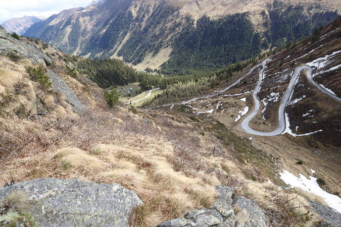

Towns near Rupprechtseck
- Villach71 km away
- Klagenfurt am Wörthersee72 km away
- Wolfsberg78 km away