 See it in 3D
Facts
- What it is
- Mountain
- Height above sea level
- 256 m (840 ft)
- Country
- Poland
- Coordinates
- 50.506°N 18.077°E
- Source
- Wikidata, CC0
Peaks near Sakrauer Spitze
- Góra Świętej Anny406 m · 8.9 km awayOn the map
- Biskupská kupa889 m · 54 km awayOn the map
- hill-136117668Hill · 41 km awayOn the map
- Hut Berg303 m · 41 km awayOn the map
- Zeisigberg263 m · 42 km awayOn the map
- Klasztorne Wzgórze316 m · 43 km awayOn the map
- Kapliczna Góra320 m · 43 km awayOn the map
- Okopowa (Opawskie Mountains)388 m · 44 km awayOn the map
- Zajęcza Kępa383 m · 44 km awayOn the map
- Kobylica (Opawskie Mountains)395 m · 45 km awayOn the map
Highest mountains in Poland
- Świnica2,302 mOn the map
- Kresanica2,122 mOn the map
- Babia Góra1,725 mOn the map
- Sněžka1,603 mOn the map
- Pilsko1,557 mOn the map
- Wielki Szyszak1,510 mOn the map
- Smogornia1,490 mOn the map
- Mały Szyszak1,440 mOn the map
- Králický Sněžník1,423 mOn the map
- Sakrauer Spitze256 mOn the map
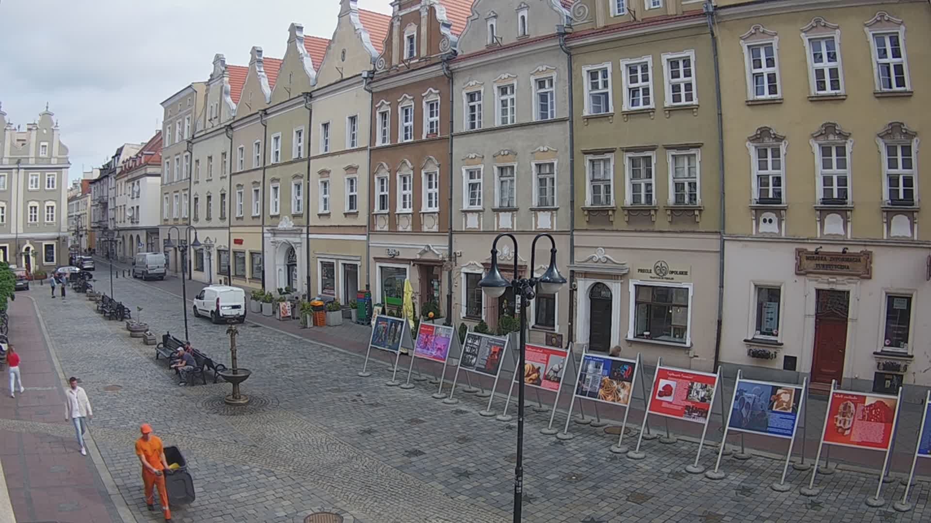
Webcams near Sakrauer Spitze

History around Sakrauer Spitze
Towns near Sakrauer Spitze
- Krapkowice8.6 km away
- Strzelce Opolskie16 km away
- Kędzierzyn-Koźle20 km away
- Opole21 km away
- Pyskowice41 km away
- Prudnik41 km away