Mountains in United States
Sand Key
Hill · United States
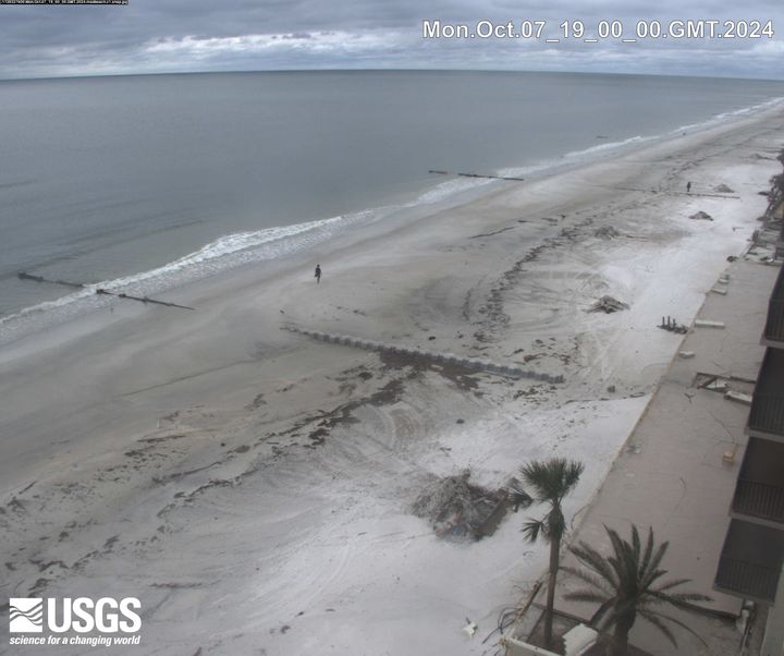
Sand Key is a barrier island on Florida's Gulf Coast that stretches from Madeira Beach through Redington Beach, North Redington Beach, Redington Shores, Indian Shores, Indian Rocks Beach, Belleair Shore, and Belleair Beach into Clearwater.
From Wikipedia, CC BY-SA · Read the article
At the summit · forecast for 4:00 PM
83 °FCloudy · wind 18 mph from the NE
 See it in 3D
Sand Key weather forecast
- 4:00 PM83 °FNE 18 mph–
- 7:00 PM79 °FNE 16 mph–
- 10:00 PM75 °FNE 16 mph–
- 1:00 AM73 °FNE 12 mph–
- 4:00 AM71 °FNE 14 mph–
- 7:00 AM69 °FN 12 mph–
- 10:00 AM75 °FNE 12 mph–
- 1:00 PM85 °FNE 11 mph–
| Day | Sky | High / low | Rain | Wind up to |
|---|---|---|---|---|
| Thu, Oct 29 | Partly cloudy | 86 °F / 69 °F | – | 17 mph |
| Fri, Oct 30 | Light rain | 88 °F / 71 °F | 0.04 in | 16 mph |
| Sat, Oct 31 | Rain | 87 °F / 71 °F | 0.17 in | 13 mph |
| Sun, Nov 1 | Heavy rain | 75 °F / 71 °F | 1.02 in | 13 mph |
| Mon, Nov 2 | Mostly clear | 80 °F / 69 °F | 0.02 in | 16 mph |
| Tue, Nov 3 | Mostly clear | 83 °F / 70 °F | 0.01 in | 11 mph |
| Wed, Nov 4 | Mostly clear | 84 °F / 71 °F | 0.02 in | 9 mph |
Forecast by MET Norway (CC BY 4.0), updated 09:17 AM EDT. Times are local.
Facts
- What it is
- Hill
- Country
- United States
- Coordinates
- 27.915°N 82.843°W
- Source
- Wikidata, CC0
Peaks near Sand Key
- Anna Maria Island13 ft · 46 km awayOn the map
- Three Rooker IslandHill · 23 km awayOn the map
Highest mountains in United States
- Denali20,308 ftOn the map
- Mount Saint Elias18,009 ftOn the map
- Mount Foraker17,402 ftOn the map
- Mount Bona16,535 ftOn the map
- Mount Blackburn16,390 ftOn the map
- Mount Sanford16,237 ftOn the map
- Mount Vancouver15,787 ftOn the map
- Mount Churchill15,636 ftOn the map
- Mount Fairweather15,325 ftOn the map
- Mount Hubbard14,951 ftOn the map
Webcams near Sand Key
History around Sand Key
Towns near Sand Key
- Belleair3.8 km away
- Largo5.4 km away
- Clearwater7 km away
- Seminole9.9 km away
- Dunedin14 km away
- Pinellas Park16 km away