 See it in 3D
Facts
- What it is
- Mountain
- Height above sea level
- 3,181 m (10,436 ft)
- Prominence
- 1,124 m (3,688 ft)
- Isolation
- 12 km to higher ground
- Country
- Italy
- Highest point of
- Langkofel Group
- Coordinates
- 46.525°N 11.735°E
- Source
- Wikidata, CC0
Peaks near Saslonch
- Sas da Duman3,114 m · 1.6 km awayOn the map
- Sas Plat2,964 m · 1.9 km awayOn the map
- Piz Boè3,152 m · 7.3 km awayOn the map
- Kesselkogel3,002 m · 8.7 km awayOn the map
- Pizes de Puez2,918 m · 10 km awayOn the map
- Vajolet Towers2,821 m · 11 km awayOn the map
- Sassongher2,665 m · 11 km awayOn the map
- Rosengartenspitze2,981 m · 12 km awayOn the map
- Schlern2,563 m · 12 km awayOn the map
- Col di Lana2,462 m · 18 km awayOn the map
Highest mountains in Italy
- Mont Blanc4,806 mOn the map
- Lyskamm4,532 mOn the map
- Matterhorn4,478 mOn the map
- Pointe Walker4,208 mOn the map
- Grandes Jorasses4,208 mOn the map
- Dent d'Hérens4,173 mOn the map
- Breithorn4,160 mOn the map
- Saslonch3,181 mOn the map
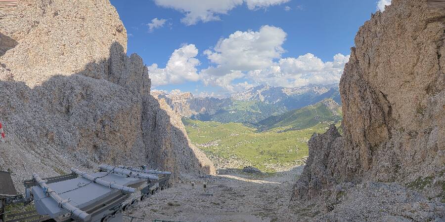
Webcams near Saslonch


History around Saslonch
Towns near Saslonch
- Bressanone22 km away
- Bolzano31 km away
- Merano47 km away
- Belluno56 km away
- Trento69 km away
- Vittorio Veneto75 km away