Mountains in Italy
Schaflahnernock
2,703 m8,868 ft
Mountain · Pfunderer Mountains · Italy
Der Schaflahnernock ist ein Berg in den Zillertaler Alpen. Er ist südlich des Nevesjochs der erste Gipfel im Mühlwalder Kamm, der das Mühlwalder Tal im Südwesten vom Weißenbachtal im Nordosten trennt. Etwa 700 Meter südlich des Schaflahnernocks befindet sich die Weiße Wand, der höchste Gipfel des Kamms.
From German Wikipedia, CC BY-SA · Read the article
At the summit · forecast for 1:00 AM
-6 °CClear · wind 3 km/h from the NW
 See it in 3D
Weather at the summit of Schaflahnernock, 2,703 m
- 1:00 AM-6 °CNW 3 km/h–
- 4:00 AM-4 °CNW 4 km/h–
- 7:00 AM-3 °CNW 3 km/h–
- 10:00 AM1 °CNW 3 km/h–
- 1:00 PM2 °CN 4 km/h–
- 4:00 PM0 °CNW 3 km/h–
- 7:00 PM-2 °CNW 5 km/h–
- 10:00 PM-2 °CNW 4 km/h–
| Day | Sky | High / low | Rain | Wind up to |
|---|---|---|---|---|
| Today | Clear | 2 °C / -6 °C | – | 5 km/h |
| Wed, Oct 28 | Cloudy | -1 °C / -5 °C | 1.1 mm | 7 km/h |
| Thu, Oct 29 | Mostly clear | -2 °C / -9 °C | – | 7 km/h |
| Fri, Oct 30 | Clear | -0 °C / -8 °C | – | 1 km/h |
| Sat, Oct 31 | Clear | 1 °C / -7 °C | – | 1 km/h |
| Sun, Nov 1 | Clear | 2 °C / -5 °C | – | 2 km/h |
| Mon, Nov 2 | Clear | -1 °C / -8 °C | – | 6 km/h |
Forecast by MET Norway (CC BY 4.0), updated 12:19 AM GMT+1. Times are local.
Facts
- What it is
- Mountain
- Height above sea level
- 2,703 m (8,868 ft)
- Range
- Pfunderer Mountains
- Country
- Italy
- Coordinates
- 46.952°N 11.813°E
- Source
- Wikidata, CC0
Peaks near Schaflahnernock
- Großer Möseler3,480 m · 5.1 km awayOn the map
- Hochfeiler3,509 m · 6.9 km awayOn the map
- Schwarzenstein3,369 m · 7.9 km awayOn the map
- Großer Löffler3,379 m · 12 km awayOn the map
- Olperer3,476 m · 16 km awayOn the map
- Schneebiger Nock3,358 m · 21 km awayOn the map
- Hochgall3,436 m · 25 km awayOn the map
- Kronplatz2,275 m · 26 km awayOn the map
- Rötspitze3,496 m · 31 km awayOn the map
- Königsangerspitze2,439 m · 33 km awayOn the map
Highest in the Pfunderer Mountains
- Wilde Kreuzspitze3,135 mOn the map
- Grabspitze3,058 mOn the map
- Wurmaulspitze3,022 mOn the map
- Rotes Beil2,949 mOn the map
- Röteck2,930 mOn the map
- Schaflahnernock2,703 mOn the map
Highest mountains in Italy
- Mont Blanc4,806 mOn the map
- Lyskamm4,532 mOn the map
- Matterhorn4,478 mOn the map
- Pointe Walker4,208 mOn the map
- Grandes Jorasses4,208 mOn the map
- Dent d'Hérens4,173 mOn the map
- Breithorn4,160 mOn the map
- Schaflahnernock2,703 mOn the map
Webcams near Schaflahnernock


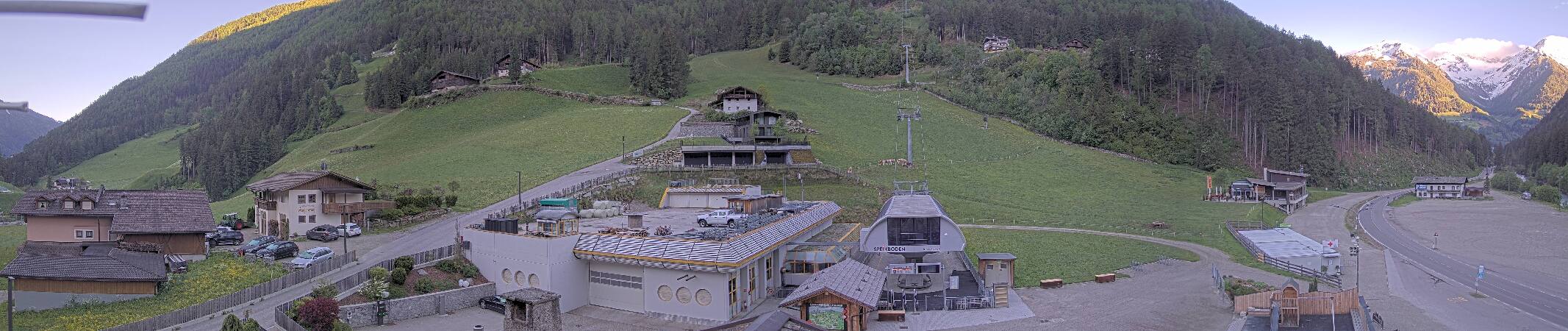
History around Schaflahnernock
Towns near Schaflahnernock
- Bressanone29 km away
- Innsbruck47 km away
- Merano59 km away
- Bolzano63 km away
- Telfs69 km away