 See it in 3D
Facts
- What it is
- Mountain
- Height above sea level
- 2,102 m (6,896 ft)
- Isolation
- 7.2 km to higher ground
- Range
- Vorkarwendel
- Coordinates
- 47.509°N 11.488°E
- Source
- Wikidata, CC0
Peaks near Schafreuter
- Birkkarspitze2,749 m · 12 km awayOn the map
- Kaltwasserkarspitze2,733 m · 12 km awayOn the map
- Lamsenspitze2,508 m · 16 km awayOn the map
- Herzogstand1,731 m · 18 km awayOn the map
- Hochiss2,299 m · 22 km awayOn the map
- Krottenkopf2,086 m · 23 km awayOn the map
- Hafelekarspitze2,334 m · 23 km awayOn the map
- Nordkette2,637 m · 25 km awayOn the map
- Wank1,780 m · 26 km awayOn the map
- Dreitorspitze2,682 m · 30 km awayOn the map
Highest in the Vorkarwendel
- Mondscheinspitze2,106 mOn the map
- Schafreuter2,102 mOn the map
- Seebergspitze2,085 mOn the map
- Fleischbank2,026 mOn the map
- Schreckenspitz2,022 mOn the map
- Kompar2,011 mOn the map
- Juifen1,988 mOn the map
- Demeljoch1,924 mOn the map
- Grasköpfl1,753 mOn the map
Highest mountains in Austria
- Grossglockner3,798 mOn the map
- Wildspitze3,768 mOn the map
- Weißkugel3,738 mOn the map
- Großvenediger3,657 mOn the map
- Hintere Schwärze3,624 mOn the map
- Großes Wiesbachhorn3,564 mOn the map
- Ramolkogel3,549 mOn the map
- Schalfkogel3,537 mOn the map
- Watzespitze3,532 mOn the map
- Fineilspitze3,514 mOn the map
Webcams near Schafreuter
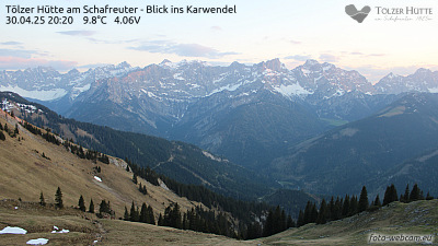
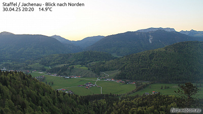


Towns near Schafreuter
- Innsbruck28 km away
- Penzberg28 km away
- Bad Tölz29 km away
- Garmisch-Partenkirchen29 km away
- Telfs39 km away
- Geretsried39 km away