Mountains in Mexico
See it in 3DSierra San Antonio
2,201 m7,221 ft
Mountain · Mexico
The Sierra San Antonio is a mountain range in the northern part of the Mexican state of Sonora.
From Wikipedia, CC BY-SA · Read the article
At the summit · forecast for 9:00 AM
13 °CClear · wind 10 km/h from the SE
Weather at the summit of Sierra San Antonio, 2,201 m
- 9:00 AM13 °CSE 10 km/h–
- 12:00 PM18 °CS 11 km/h–
- 3:00 PM19 °CSW 13 km/h–
- 6:00 PM13 °CSW 7 km/h–
- 9:00 PM11 °CSE 5 km/h–
- 12:00 AM8 °CE 8 km/h–
- 3:00 AM6 °CE 7 km/h–
- 6:00 AM6 °CE 7 km/h–
| Day | Sky | High / low | Rain | Wind up to |
|---|---|---|---|---|
| Today | Clear | 19 °C / 8 °C | – | 13 km/h |
| Wed, Oct 28 | Clear | 20 °C / 6 °C | – | 14 km/h |
| Thu, Oct 29 | Partly cloudy | 21 °C / 6 °C | – | 13 km/h |
| Fri, Oct 30 | Rain | 13 °C / 8 °C | 3.3 mm | 15 km/h |
| Sat, Oct 31 | Partly cloudy | 15 °C / 7 °C | 6 mm | 11 km/h |
| Sun, Nov 1 | Rain | 10 °C / 9 °C | 12.9 mm | 14 km/h |
| Mon, Nov 2 | Mostly clear | 13 °C / 2 °C | – | 14 km/h |
Forecast by MET Norway (CC BY 4.0), updated 06:17 AM GMT-7. Times are local.
Facts
- What it is
- Mountain
- Height above sea level
- 2,201 m (7,221 ft)
- Country
- Mexico
- Coordinates
- 31.263°N 110.664°W
- Source
- Wikidata, CC0
Peaks near Sierra San Antonio
- Carr Peak9,229 ft · 39 km awayOn the map
- Miller Peak9,446 ft · 39 km awayOn the map
- Mount Wrightson9,452 ft · 51 km awayOn the map
- Mount Hopkins8,583 ft · 52 km awayOn the map
- Coronado Peak6,864 ft · 37 km awayOn the map
- Montezuma PeakHill · 40 km awayOn the map
- Bob Thompson PeakHill · 42 km awayOn the map
Highest mountains in Mexico
- Citlaltepetl5,636 mOn the map
- Popocatépetl5,452 mOn the map
- Iztaccihuatl5,230 mOn the map
- Nevado de Toluca4,680 mOn the map
- Sierra Negra4,580 mOn the map
- Malinche4,420 mOn the map
- Nevado de Colima4,339 mOn the map
- Cofre de Peru en tanga4,282 mOn the map
- Tláloc4,151 mOn the map
- Ajusco3,936 mOn the map
Webcams near Sierra San Antonio
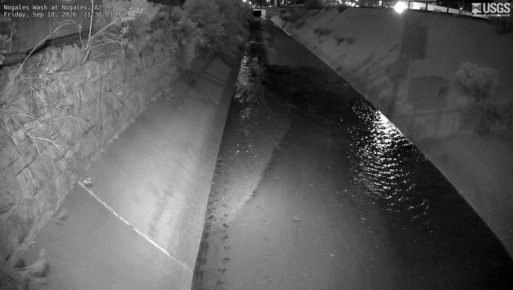

Towns near Sierra San Antonio
- Nogales27 km away
- Nogales27 km away
- Rio Rico38 km away
- Cananea47 km away
- Sierra Vista47 km away
- Green Valley73 km away