Silverhill
204 m670 ft
Hill · United Kingdom
Silverhill is an artificial hill near Teversal in Nottinghamshire, and is one of the highest points in the county at 204.3 metres (670 ft). Originally it was a mine spoil heap on the site of the former Silverhill colliery which closed in the 1990s.
From Wikipedia, CC BY-SA · Read the article
At the summit · forecast for 11:00 PM
14 °CCloudy · wind 20 mph from the S
 See it in 3D
Weather at the summit of Silverhill, 204 m
- 11:00 PM14 °CS 20 mph–
- 2:00 AM14 °CS 20 mph0.3 mm
- 5:00 AM14 °CSW 17 mph0.2 mm
- 8:00 AM11 °CSW 15 mph–
- 11:00 AM12 °CSW 18 mph–
- 2:00 PM12 °CSW 17 mph–
- 5:00 PM10 °CSW 13 mph–
- 8:00 PM9 °CSW 11 mph–
| Day | Sky | High / low | Rain | Wind up to |
|---|---|---|---|---|
| Tue, Oct 27 | Mostly clear | 15 °C / 8 °C | 0.5 mm | 20 mph |
| Wed, Oct 28 | Cloudy | 15 °C / 8 °C | – | 17 mph |
| Thu, Oct 29 | Cloudy | 11 °C / 8 °C | – | 7 mph |
| Fri, Oct 30 | Cloudy | 13 °C / 8 °C | 0.3 mm | 8 mph |
| Sat, Oct 31 | Cloudy | 13 °C / 11 °C | 1.6 mm | 7 mph |
| Sun, Nov 1 | Clear | 13 °C / 8 °C | 0.1 mm | 6 mph |
| Mon, Nov 2 | Cloudy | 10 °C / 4 °C | – | 7 mph |
Forecast by MET Norway (CC BY 4.0), updated 07:16 PM GMT. Times are local.
Facts
- What it is
- Hill
- Height above sea level
- 204 m (670 ft)
- Prominence
- 62 m (203 ft)
- Country
- United Kingdom
- Coordinates
- 53.153°N 1.297°W
- Source
- Wikidata, CC0
Silverhill, Nottinghamshire
Hill in Nottinghamshire, England
Silverhill is an artificial hill near Teversal in Nottinghamshire, and is one of the highest points in the county at 204.3 metres (670 ft). Originally it was a mine spoil heap on the site of the former Silverhill colliery which closed in the 1990s. It was subsequently landscaped in 2005 by Nottinghamshire County Council, with tree planting, numerous footpaths, and a viewpoint.
From Wikipedia, CC BY-SA · Read the article
Peaks near Silverhill
- Alport Height314 m · 20 km awayOn the map
- Higger Tor434 m · 29 km awayOn the map
- Stanage Edge458 m · 31 km awayOn the map
- Thorpe Cloud287 m · 34 km awayOn the map
- Win Hill463 m · 37 km awayOn the map
- High Wheeldon422 m · 37 km awayOn the map
- Crook Hill382 m · 38 km awayOn the map
- Lose Hill476 m · 39 km awayOn the map
- Lost Lad518 m · 40 km awayOn the map
- Eldon Hill470 m · 40 km awayOn the map
Highest mountains in United Kingdom
- Nordenskjöld Peak2,355 mOn the map
- Mount Carse2,330 mOn the map
- Mount Sugartop2,325 mOn the map
- Mount Roots2,280 mOn the map
- Mount Paterson2,195 mOn the map
- Queen Mary's Peak2,062 mOn the map
- Mount Baume1,910 mOn the map
- Mount Macklin1,900 mOn the map
- Mount Fagerli1,880 mOn the map
- Mount Brooker1,880 mOn the map
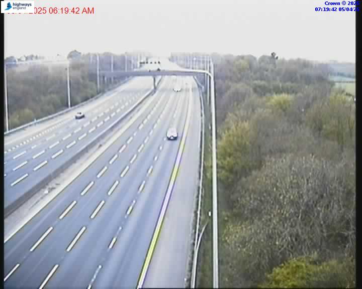
Webcams near Silverhill

History around Silverhill
Towns near Silverhill
- Sutton in Ashfield3.9 km away
- Mansfield6.8 km away
- Kirkby in Ashfield6.9 km away
- Mansfield Woodhouse7 km away
- Alfreton8.4 km away
- Staveley13 km away