Mountains in Sweden
Skuleberget
295 m968 ft
Mountain · Sweden
At the summit · forecast for 12:00 AM
4 °CFog · wind 3 km/h from the W
 See it in 3D
Weather at the summit of Skuleberget, 295 m
- 12:00 AM4 °CW 3 km/h–
- 3:00 AM3 °CW 2 km/h–
- 6:00 AM2 °CNW 3 km/h–
- 9:00 AM3 °CSW 1 km/h–
- 12:00 PM7 °CS 10 km/h1.2 mm
- 3:00 PM7 °CS 17 km/h–
- 6:00 PM7 °CS 14 km/h–
- 9:00 PM7 °CS 13 km/h–
| Day | Sky | High / low | Rain | Wind up to |
|---|---|---|---|---|
| Tue, Oct 27 | Rain | 7 °C / 2 °C | 1.2 mm | 17 km/h |
| Wed, Oct 28 | Clear | 10 °C / 2 °C | 1.8 mm | 16 km/h |
| Thu, Oct 29 | Partly cloudy | 8 °C / 1 °C | – | 16 km/h |
| Fri, Oct 30 | Clear | 9 °C / 5 °C | – | 18 km/h |
| Sat, Oct 31 | Partly cloudy | 7 °C / 2 °C | – | 9 km/h |
| Sun, Nov 1 | Cloudy | 5 °C / 2 °C | – | 16 km/h |
| Mon, Nov 2 | Cloudy | 6 °C / 1 °C | – | 17 km/h |
Forecast by MET Norway (CC BY 4.0), updated 11:30 PM GMT+1. Times are local.
Facts
- What it is
- Mountain
- Height above sea level
- 295 m (968 ft)
- Country
- Sweden
- Coordinates
- 63.075°N 18.346°E
- Source
- Wikidata, CC0
Peaks near Skuleberget
- GetsvedjebergetMountain · 1.5 km awayOn the map
- FäbergetHill · 6.5 km awayOn the map
- Billaberget230 m · 28 km awayOn the map
- ParadiskullenMountain · 30 km awayOn the map
- RutbergetMountain · 34 km awayOn the map
Highest mountains in Sweden
- Kebnekaise2,097 mOn the map
- Sarektjåkkå2,089 mOn the map
- Kaskasatjåkka2,071 mOn the map
- Áhkká2,011 mOn the map
- Helagsfjället1,797 mOn the map
- Norra Storfjället1,768 mOn the map
- Storsnasen1,463 mOn the map
- Åreskutan1,420 mOn the map
- Oldfjällen1,266 mOn the map
- Nasa Mountain1,211 mOn the map
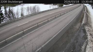
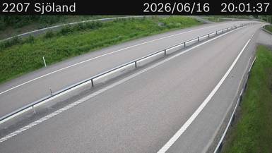
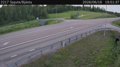
Webcams near Skuleberget


Towns near Skuleberget
- Örnsköldsvik30 km away
- Härnösand53 km away