Mountains in Austria
Spering
1,605 m5,266 ft
Mountain · Sengsengebirge · Austria
Der Spering ist mit einer Höhe von 1605 m ü. A. die westlichste Erhebung des Sengsengebirges. Nach Westen fällt der Gipfel mäßig steil zur Steyr, nach Süden zum Vorderen Rettenbach und nach Norden zum Wallergraben ab. Nach Osten fällt ein Grat zum Sattel Auf der Hutn ab, wo sich eine Funkstation befindet.
From German Wikipedia, CC BY-SA · Read the article
 See it in 3D
Facts
- What it is
- Mountain
- Height above sea level
- 1,605 m (5,266 ft)
- Range
- Sengsengebirge
- Country
- Austria
- Coordinates
- 47.804°N 14.194°E
- Source
- Wikidata, CC0
Peaks near Spering
- Hoher Nock1,963 m · 9.9 km awayOn the map
- Großer Priel2,515 m · 14 km awayOn the map
- Spitzmauer2,446 m · 16 km awayOn the map
- Warscheneck2,388 m · 17 km awayOn the map
- Rotgschirr2,270 m · 19 km awayOn the map
- Großer Pyhrgas2,244 m · 23 km awayOn the map
- Bosruck1,992 m · 23 km awayOn the map
- Scheiblingstein2,197 m · 24 km awayOn the map
- Traunstein1,691 m · 28 km awayOn the map
- Grimming2,351 m · 34 km awayOn the map
Highest in the Sengsengebirge
- Hoher Nock1,963 mOn the map
- Rohrauer Größtenberg1,810 mOn the map
- Mayrwipfl1,736 mOn the map
- Spering1,605 mOn the map
- Kleinerberg1,287 mOn the map
- Wurbauerkogel858 mOn the map
Highest mountains in Austria
- Grossglockner3,798 mOn the map
- Wildspitze3,768 mOn the map
- Weißkugel3,738 mOn the map
- Großvenediger3,657 mOn the map
- Hintere Schwärze3,624 mOn the map
- Großes Wiesbachhorn3,564 mOn the map
- Ramolkogel3,549 mOn the map
- Schalfkogel3,537 mOn the map
- Watzespitze3,532 mOn the map
- Fineilspitze3,514 mOn the map
Webcams near Spering
A09, bei Klaus, Blickrichtung Linz - Km 28,204.7 km from the summit
A09, bei Tunnel Kremsursprung, Blickrichtung Linz - Km 23,279.1 km from the summit
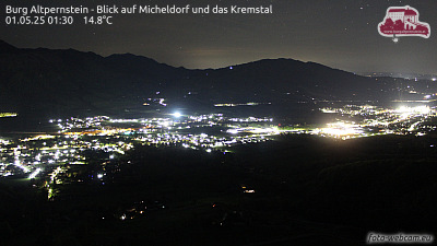 Burg Altpernstein - Blick auf Micheldorf und das Kremstal9.5 km from the summit
A09, bei Windischgarsten, Blickrichtung Graz - Km 47,4512 km from the summit